
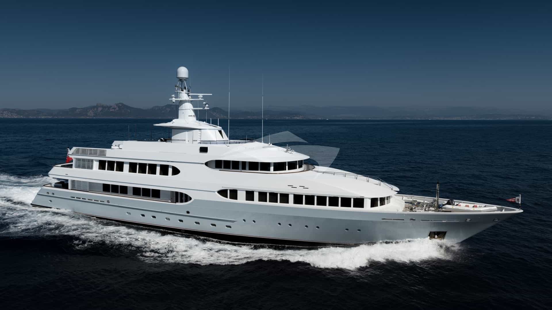
The southern coastline of Portugal presents one of Europe’s most compelling maritime paradoxes. Although fronting the open North Atlantic Ocean, the Algarve functions hydrologically and meteorologically as a transition zone into the Mediterranean basin. Protected from northern weather systems by the Serra de Monchique mountain range, this 85-nautical-mile stretch of coast offers deep water, high sunshine hours, and remarkably stable summer sea conditions.
When arranging an Algarve Yacht Charter yacht charter, understanding the division between the western cliff-lined Barlavento and the eastern lagoon-dominated Sotavento is essential. The coastline alters character dramatically at the central headland of Ponta da Piedade and the resort hub of Vilamoura. Captains navigating these waters must manage localized thermal winds, Atlantic swell refraction, and precise tidal windows when working inside barrier islands or approaching river bars.
Geography of the Luso-Mediterranean Coast
The Algarve’s 155-kilometre marine front is broadly categorised into two distinct natural sectors, separated roughly by the bay of Albufeira. To the west lies the Barlavento (Windward Coast), characterised by Jurassic limestone cliffs, sea stacks, deeply incised coves, and high-energy headlands terminating at Cabo de São Vicente. To the east stretches the Sotavento (Leeward Coast), a low-lying expanse of barrier islands, coastal lagoons, and expansive sandbars forming the Parque Natural da Ria Formosa.
Cruising the Barlavento requires close attention to swell direction and vertical cliff reflection. The waters drop off quickly into soundings of 20 to 30 metres within half a mile of the shoreline, allowing large motor yachts to navigate close inshore under clear daylight conditions. Key geological features, such as the sea caves around Benagil and the isolated rock pinnacles of Ponta da Piedade, require careful tender deployment, as swell can surge heavily into narrow apertures even on calm days.
The Sotavento offers an entirely different cruising environment. The Ria Formosa ecosystem forms a protective barrier consisting of five outer islands—Culatra, Armona, Tavira, Cabanas, and Barreta (Ilha Deserta)—and two main inlets allowing passage into inner channels. Deep-draught vessels must remain outside in open anchorages off the barrier islands, while shallow-draught tenders and motor yachts can navigate marked channels to access Olhão, Faro, and Tavira.
Prevailing Winds, Microclimates, and Sea States
The meteorological dominant across the southern Portuguese littoral during the primary charter season (May through October) is the Nortada—a north-to-northwesterly coastal wind driven by the interaction between the Azores High pressure system and the thermal low over the Iberian interior.
Because the coastline faces south, the Nortada acts as an offshore wind along the majority of the Algarve coast. This creates a smooth sea state close to the land, despite winds frequently reaching 20 to 25 knots three to five miles offshore. However, captains must exercise caution when rounding Cabo de São Vicente and Ponta de Sagres, where wind speeds accelerate sharply due to coastal compression and funnelling, often adding 10 to 15 knots to the ambient offshore forecast.
An alternative weather phenomenon is the Leste, an easterly or southeasterly wind originating from North Africa and the Gulf of Cadiz. Occurring periodically throughout the summer, the Leste brings warm, hazy air, reduced visibility, and a steep, short-period chop along the entire south coast, making open roadstead anchorages uncomfortable and requiring yachts to seek port protection or anchor in the lee of eastern island breaks.
Month-by-Month Conditions
- May: Transitional period. Prevailing winds fluctuate between mild westerly systems and early Nortada breezes. Surface sea temperatures hover around 16°C to 17°C. Ocean swell from the North Atlantic remains moderate at 1.5 to 2.0 metres off Sagres, calming significantly east of Portimão.
- June: The summer regime establishes itself. Long daylight hours and consistent afternoon thermal breezes averaging 12 to 18 knots from the northwest. Sea temperatures rise to 19°C. Excellent visibility and low rainfall make this an ideal month for coastal passage-making.
- July: Peak summer stability. The Nortada blows with high consistency, building in the late afternoon and dying away after sunset. Nearshore waters inside the 15-metre contour remain flat. Sea temperatures reach 20°C to 21°C in the west and up to 23°C in the eastern lagoons around Tavira.
- August: Identical to July in wind mechanics, with occasional Leste events lasting two to three days. Anchorages along the Barlavento experience heavy day-boat traffic. Off-shore swell is generally minimal, under 1.0 metre on the southern face.
- September: Often considered by professional captains to be the prime cruising month. The Nortada relaxes in intensity, sea temperatures peak at 22°C to 23°C across the region, and sea states are exceptionally calm, though early morning fog patches can form off Cabo de São Vicente.
- October: The arrival of early autumn Atlantic depressions brings rising swell from the west and southwest. While settled days offer fine cruising, passage planning must account for shifting winds and increasing wave periods along exposed western headlands.
Key Anchorages and Port-by-Port Analysis
Securing suitable shelter along the Algarve requires matching vessel draft and prevailing wind direction to the correct geological formation. The region features several full-service marinas complemented by natural bays and island roadsteads.
The Sotavento: Barrier Islands and Lagoon Pilotage
- Ilha da Culatra (Barra Nova Anchorage): Located at 36°59'N, 007°49'W, this is the most secure natural anchorage in the eastern region. Vessels enter via the dredged channel of Barra Nova between Ilha Deserta and Ilha da Culatra. Holding is excellent in coarse sand and thick mud in depths between 6 and 10 metres. The anchorage provides total protection from sea swell, though tidal currents in the channel can reach 3 knots during spring cycles.
- Ilha de Tavira: Anchorage off the outer beach is suitable exclusively in settled summer weather with northerly or offshore winds. Yachts anchor in 5 to 8 metres over clean sand, offering straightforward tender access to the pristine beaches and seasonal seafood establishments specialising in Atlantic sea bass and local tuna recipes.
The Barlavento: Limestone Coastlines and Atlantic Headlands
- Ferragudo & Rio Arade (Portimão): The entrance to the Arade River, protected by large breakwaters, provides one of the best sheltered anchorages on the south coast. Yachts can anchor inside the breakwater off the village of Ferragudo in 4 to 7 metres of water over good holding mud. It is well sheltered from all wind directions except strong southwesterlies. Deep-water berthage is available immediately adjacent at Marina de Portimão, capable of handling yachts up to 50 metres in length with no tidal entry restrictions.
- Enseada da Baleeira (Sagres): Situated just north of Ponta de Sagres at 37°00'N, 008°55'W, this broad bay offers essential shelter when the Nortada is blowing at gale force around Cabo de São Vicente. Holding is moderate to good in sand and weed in depths of 7 to 12 metres. While protected from North and Northwest winds, it is completely open to the East and South, requiring immediate departure should the wind shift into those quadrants.
- Ponta da Piedade / Praia da Dona Ana: A daytime anchorage off the iconic golden cliffs of Lagos. Anchoring in 8 to 10 metres over sand provides a stable platform for swimming and tender trips through the natural rock arches. This is strictly a fair-weather anchorage under offshore winds; any southerly swell renders it unviable.
Key Anchorage Shelter Characteristics
- Ilha da Culatra: Sheltered from N, NW, W, E winds; exposed to extreme S/SE gales; coarse sand and mud holding; watch for 3-knot tidal streams.
- Ferragudo (Rio Arade): Sheltered from N, NW, NE, E, W winds; exposed to heavy S/SW swell; sand and mud holding; convenient for Portimão access.
- Enseada da Baleeira (Sagres): Sheltered from N, NW, W winds; fully exposed to E, SE, S winds; sand and weed holding; ideal refuge during heavy Nortada.
- Meia Praia (Lagos Bay): Sheltered from N, NW, NE winds; exposed to S, SE, SW swell; fine sand holding; expansive room for large draught vessels.
Essential Passages and Distances
Navigating the Algarve involves relatively short day-hops between well-equipped marinas and dramatic anchorages. The table of distances allows for precise fuel planning and passage scheduling along the east-west axis.
Vila Real de Santo António (Rio Guadiana)
  | 22 nm
Culatra / Olhão Anchorage
  | 14 nm
Vilamoura Marina
  | 10 nm
Albufeira Marina
  | 8 nm
Portimão (Rio Arade)
  | 6 nm
Lagos Marina
  | 15 nm
Sagres (Baleeira Anchorage)
  | 4 nm
Cabo de São Vicente
A standard passage from Marina de Lagos westwards to Cabo de São Vicente spans roughly 19 nautical miles. Departing at 09:00 hours allows a vessel cruising at 12 to 15 knots to reach the headland before the afternoon thermal breeze accelerates the coastal sea state, returning to the lee of Baleeira or Salema for afternoon water sports.
When transit planning between Vilamoura and Portimão (18 nautical miles), yachts run parallel to the high sandstone bluffs of Galé and Benagil. This leg offers excellent opportunities to drop anchor off Praia de Benagil or Albandeira for lunch, provided the swell is under 0.8 metres.
Navigational Hazards and Local Knowledge
While the Algarve is free from complex offshore archipelagos, it presents specific local hazards that require rigorous watchkeeping and sound seamanship.
The primary physical danger along the Barlavento coastline between Albufeira and Sagres stems from unmarked artisanal fishing gear. Local fishermen set lobster pots, octopus traps (alcatruzes), and gill nets from shallow depths out to the 50-metre contour. High-speed motor yachts must maintain a sharp lookout for small plastic buoys, jerrycans, and flag markers (pórticos) that can foul propellers and thrusters.
Tidal currents warrant careful calculation along the eastern inlets. The entrances to the Ria Formosa (Barra Nova and Barra da Armona) feature shifting sandbars where depth soundings alter following winter storms. Entry should only be attempted with a rising tide and up-to-date cartography. At the mouth of the Rio Guadiana, separating Portugal from Spain, opposing ebb tides against a southerly wind can generate steep, breaking seas across the entrance bar.
Around high vertical cliffs—specifically at Ponta da Piedade and Cabo Carvoeiro—downbursts (flaws) can occur when a strong Nortada spills over the top of the limestone plateaus. These katabatic gusts can drop 25-knot bursts of wind onto yachts anchored just 100 metres off the beach, causing anchors to drag if set in thin sand over shelf rock.
Essential Hazards Summary
- Artisanal Fishing Gear: Widespread pot buoys and nets set between 10m and 50m soundings, particularly dense between Portimão and Sagres.
- Shifting Inlets: Sandbars at Ria Formosa and Alvor entrances change topography annually; local knowledge or high-tide windows required.
- Swell Refraction: Severe clapotis (standing waves) created where North Atlantic swell hits vertical limestone cliffs near Benagil and Sagres.
- Venturi Effects: Acceleration zones off Cabo de São Vicente where wind speeds can double relative to ambient weather forecasts.
How a Captain Executes a Seven-Day Algarve Yacht Charter Itinerary
Executing a successful week-long itinerary on an Algarve Yacht Charter yacht charter requires balancing the desire for dramatic western landscapes with the sheltered, calm waters of the eastern barrier islands. A veteran captain structures the week dynamically around the forecast wind speed and ocean swell, typically moving from east to west to take advantage of afternoon tailwinds when returning to base.
Days 1 to 2: The Lagoon Realm and Culinary Foundations
The itinerary often begins at Marina de Vilamoura or Olhão. Day one is dedicated to the Ria Formosa ecosystem. After casting off, the yacht anchors in the deep channel of Barra Nova off Ilha da Culatra. Guests disembark via tender to explore the sandy lanes of Culatra or take a private excursion to Ilha Deserta.
Lunch on board highlights local gastronomy: cataplana de marisco—a traditional seafood stew cooked in a clam-shaped copper vessel—paired with crisp regional white wines from Lagoa. In the afternoon, the yacht moves to an outer anchorage off Ilha de Armona, providing an ideal setting for paddleboarding and swimming in waters that reach up to 23°C.
Days 3 to 4: Central Cliffs, Caves, and Historic Ports
On day three, the vessel heads west towards the dramatic rock formations of the central coast. A morning run of 18 nautical miles brings the yacht off the coast of Benagil. Weather permitting, the captain drops anchor in 8 metres of water over fine sand off Praia da Marinha. Guests are launched in the tender or on kayaks to explore the cathedral-like Benagil sea cave before the afternoon wind builds.
By mid-afternoon, as the Nortada begins to push down the coast, the captain weighs anchor and runs downwind for six miles to the entrance of the Rio Arade. Passing between the breakwaters, the yacht berths at Marina de Portimão or anchors off the quiet village of Ferragudo. Dinner is taken ashore at an authentic riverside establishment where fresh sardines and whole wild sea bass are grilled over open charcoal pits.
Days 5 to 6: Western Wilderness and Headland Passages
Day five takes the vessel deeper into the rugged Barlavento. Leaving the Arade river, the yacht navigates six nautical miles west to the dramatic promontory of Ponta da Piedade near Lagos. The captain positions the vessel just off the rock towers, allowing guests to swim in turquoise waters sheltered from the north wind.
After lunch, the cruise continues 15 nautical miles westward towards Sagres. The coast becomes increasingly wild and sparsely populated. Passing the quiet beach of Salema, the yacht anchors under the lee of the high cliffs at Enseada da Baleeira in Sagres. This remote anchorage offers a stark, dramatic backdrop. Local divers harvest percebes (gooseneck barnacles) directly from the wave-washed cliff faces below the Sagres fortress—a rare delicacy served in local shore establishments.
If conditions allow, the captain executes an early evening passage around Cabo de São Vicente—the southwesternmost point of continental Europe. Watching the sun set over the open Atlantic from the deck of a yacht off the Cape’s 75-metre cliffs is an iconic maritime experience, before returning to the calm anchorage at Baleeira for the night.
Day 7: Return Run and Final Anchorages
The final day focuses on a relaxed eastern return transit. Running with the prevailing wind and swell, the yacht makes a swift 20-nautical-mile passage back towards the broad bay of Meia Praia off Lagos or the secluded cove of Ponta João d'Arens.
Here, surrounded by red sandstone stacks and clear water, guests spend the final afternoon utilizing the yacht's water toys. The charter concludes with a short run into Marina de Vilamoura or Lagos for disembarkation, completing a passage that encapsulates the full spectrum of southern Portugal's maritime geography.