
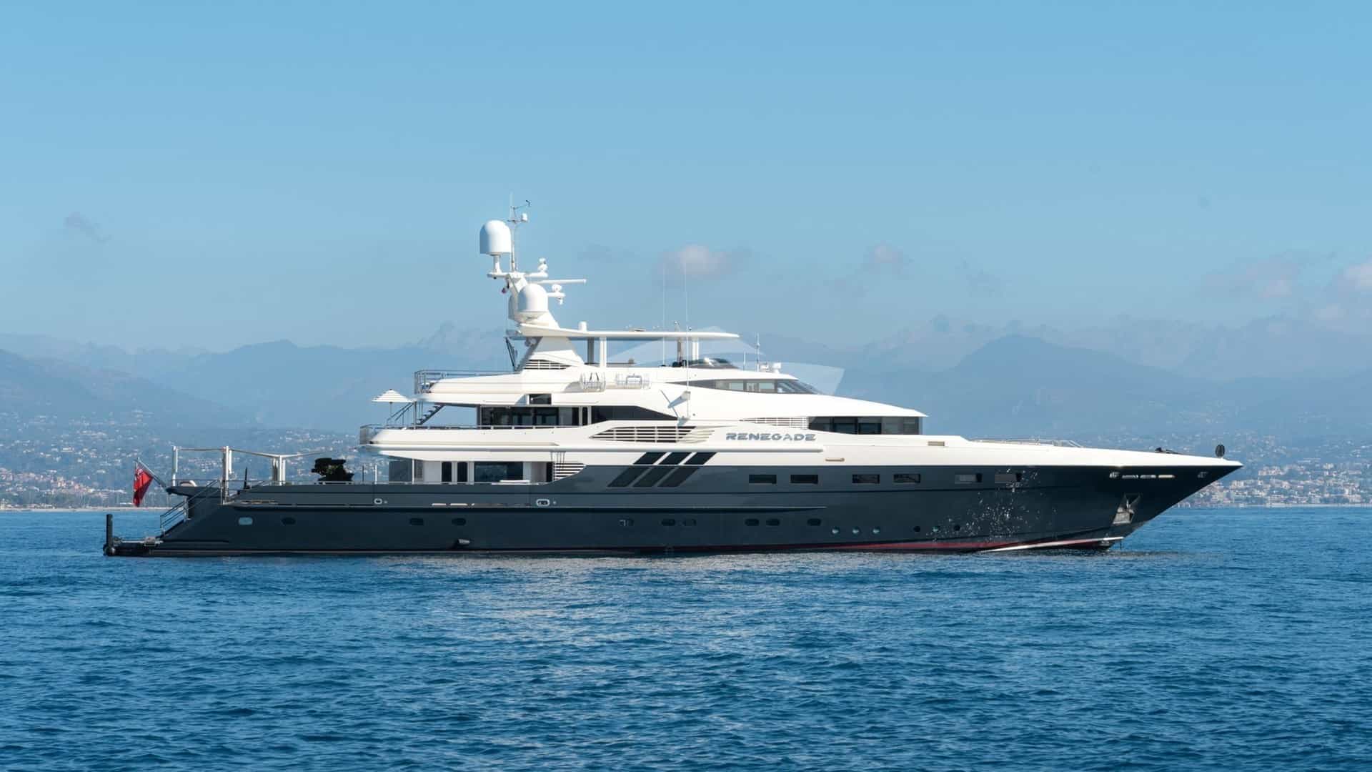
Lying at 15°57’S latitude and 173°46’W longitude, Niuatoputapu is one of the most isolated island destinations accessible to high-end expedition yachts in the South Pacific. Known historically as Keppel Island, this remote outpost forms the administrative centre of the Northern Niua group in the Kingdom of Tonga. Located roughly 160 nautical miles north of the Vavaʻu archipelago and 170 nautical miles south-southwest of Apia, Samoa, Niuatoputapu offers a pure blue-water expedition environment.
A Niuatoputapu Yacht Charter yacht charter is defined by raw geography, precise seamanship, and absolute self-sufficiency. The island is small, measuring approximately six kilometres long by three kilometres wide, yet its marine footprint extends across a extensive barrier reef system enclosing a turquoise lagoon, dominated to the north-east by the dramatic, high-peaked volcanic cone of neighbour island Tafahi. For superyacht captains and discerning charter guests, cruising these waters requires careful reading of wind patterns, swell dynamics, and reef passes.
The Coastline and Sea Areas
The marine topography of the Niuatoputapu group is governed by its position adjacent to the Tonga Trench. To the east, the ocean floor plunges thousands of metres into the abyss, creating dramatic bathymetric transitions that generate ocean upwellings and steep, unrefracted swells.
Niuatoputapu itself is a composite island: a low-lying raised coral platform anchored by a central extinct volcanic ridge, Mount Maʻfahi, which rises to 157 metres. The island’s perimeter is almost entirely encircled by a continuous fringing barrier reef, located between 0.5 and 1.5 nautical miles offshore. This reef structure traps a shallow lagoon along the south and west coasts, while creating a deeper, semi-enclosed water body along the northern shore near Falehau.
Four nautical miles across the open water of the Tafahi Channel lies Tafahi Island. Unlike Niuatoputapu, Tafahi is a steep, symmetrical stratovolcano rising abruptly from the sea to an elevation of 610 metres. Its coastline lacks a protective barrier reef; instead, basaltic cliffs and boulder-strewn shores drop rapidly into deep water, offering no natural harbour and forcing vessels to anchor on a narrow, deep shelf on its lee side.
The water surrounding both islands is exceptional in clarity, with underwater visibility frequently exceeding 40 metres. However, the outer sea areas are exposed to open South Pacific ocean conditions. Navigating the passage between Niuatoputapu and Tafahi requires monitoring the tidal currents, which accelerate through the channel at speeds up to 2.5 knots during spring tides, setting strongly against prevailing trade winds and generating short, steep seas.
Prevailing Winds and Sea State by Month
Cruising in Niuatoputapu is dictated by the South Pacific Trade Wind belt. Understanding seasonal nuances is critical for passage planning and anchorage selection.
May to October: The Dry Trade Wind Season
This period represents the optimal window for a Niuatoputapu Yacht Charter yacht charter. The weather is dominated by the South-East Trade Winds, established by high-pressure systems moving across the South Tasman Sea.
- May and June: Trade winds blow consistently from the ESE at 15 to 22 knots. Sea state outside the barrier reef stays between 1.5 and 2.5 metres. The weather is cool and relatively dry. Lagoon waters inside Falehau stay calm, though a light chop forms during afternoon wind peaks.
- July and August: The trades reach their maximum strength, occasionally sustained at 20 to 25 knots for several days straight. Ocean swells from the southern ocean can push 3-metre southerly seas past the southern reef edge. Falehau Anchorage provides complete protection from these southerly swells, making it the most secure period for lying at anchor inside the pass.
- September and October: Winds begin to moderate, easing to 12–18 knots and veering slightly towards the East or East-North-East. Seas ease to under 2 metres outside the reef. This window offers ideal conditions for diving the outer reef walls and attempting daytime anchorages off Tafahi.
November to April: The Wet and Variable Season
This period brings high humidity, lighter and variable winds, and increased risk of tropical depressions or full cyclones.
- November and December: Winds become light and variable, shifting frequently between North-East and North-West. While the ocean sea state drops below 1 metre, providing glass-like conditions outside the reef, the lack of strong trade winds causes temperatures and humidity to surge. Squall activity increases in the afternoons.
- January to April: The height of the South Pacific cyclone season. Prevailing winds are unreliable, often blowing from the West or North-West. A westerly shift renders the main anchorage at Falehau exposed and dangerous, as westerly wind and swell blow directly into the harbour mouth. Charter cruising is generally discouraged during these months unless supported by real-time routing and flexible itineraries.
Key Natural Anchorages and Shelter Profiles
Berthing options in Niuatoputapu are limited to natural anchorages, as there are no marina facilities for vessels over 15 metres LOA. The region contains recorded anchorages suitable for vessels up to 30 metres LOA inside the lagoon, while larger superyachts anchor in deep water outside the main pass.
Falehau Harbour (Inside the Reef)
Located on the north-east shore of Niuatoputapu, Falehau Harbour is the island’s primary and safest anchorage. Access is gained via the narrow Falehau Pass (Aba Lahi).
- Position: 15°56.2’S, 173°45.1’W
- Depth: 4 to 9 metres over a seabed of fine coral sand interspersed with isolated coral heads (bommies).
- Shelter: Excellent protection from ESE, SE, South, and South-West winds. Moderate protection from East and North-East. Entirely open to North-West and West.
- Operational Notes: Vessels drawing under 2.5 metres can enter the inner basin and drop anchor in 5 metres of sand, south-west of the concrete government wharf. Holding is good in sandy patches, but captains must use a float on the anchor chain to prevent it from fouling on low-lying coral heads. The concrete wharf itself is reserved for local supply vessels and inter-island ferries; charter yachts must remain at anchor and use tenders for shore transfers.
Tafahi Lee Shelf
An auxiliary daytime anchorage situated off the south-western shore of Tafahi Island.
- Position: 15°51.8’S, 173°43.5’W
- Depth: 18 to 28 metres dropping off steeply to over 50 metres.
- Shelter: Fair protection from East and South-East winds only. Completely exposed to swell wrapping around the island’s northern and southern points.
- Operational Notes: This is strictly a settled-weather daytime anchorage. The bottom consists of volcanic basalt and coarse black sand, offering mediocre holding. A watch must be kept on the bridge, as wind shifts off the 610-metre peak can cause directional gusts (williwaws) that drive anchored vessels off the shelf into deep water.
Nukuseilala Reef Anchorage (Outer Lagoon)
Situated in the lee of the western barrier reef near the islet of Nukuseilala.
- Position: 15°57.1’S, 173°48.2’W
- Depth: 8 to 14 metres.
- Shelter: Good protection from prevailing SE trade winds and eastern swells, protected by the broad expanse of the main island upwind. Exposed to North and West.
- Operational Notes: Ideal for day use when guests wish to dive or kayak along the western barrier reef. The seabed is mixed coral rubble and sand. Excellent holding if sand pockets are targeted, but chain wrapping is guaranteed without trip lines and buoyancy floats.
Day-Hop Distances and Regional Routing
Niuatoputapu serves as a strategic crossroads between Central Polynesia and Northern Tonga. The following distances define passage planning in the region:
- Falehau Anchorage to Tafahi Island Lee: 6.5 nautical miles
- Falehau Anchorage to Western Reef (Nukuseilala): 4.2 nautical miles
- Niuatoputapu to Niuafoʻou (Tin Can Island): 118 nautical miles WSW
- Niuatoputapu to Neiafu Harbour (Vavaʻu): 165 nautical miles SSW
- Niuatoputapu to Pangai (Haʻapai): 245 nautical miles South
- Niuatoputapu to Apia Harbour (Samoa): 172 nautical miles NNE
- Niuatoputapu to Nukuʻalofa (Tongatapu): 335 nautical miles South
Passages south to Vavaʻu or north to Samoa involve full overnight ocean crossings across open water. When planning a regional itinerary, captains typically schedule a 16-to-20-hour transit from Neiafu to Falehau, departing Vavaʻu in the late afternoon to arrive at Niuatoputapu’s barrier reef pass at mid-morning the following day, ensuring optimum overhead light for visual pilotage.
Navigational Hazards and Local Seamanship
Navigating Niuatoputapu requires old-school visual seamanship combined with modern satellite mapping. Electronic charts (including C-MAP and Navionics) display offset errors of up to 0.2 nautical miles in this region. Captains must not rely solely on GPS waypoints for pass entries.
Falehau Pass Entry Protocol
Falehau Pass is a narrow break in the northern barrier reef, roughly 35 metres wide at its narrowest point.
1. Light Conditions: Entry must only be attempted between 10:00 and 14:00 hours, when the sun is high and behind the vessel, making coral shoals and pass boundaries clearly visible in bright green and yellow hues against deep blue water. 2. Tidal Currents: The current in the pass can run up to 4 knots on a falling spring tide, creating standing waves if a northerly swell is present outside. Entry should ideally occur at slack water high tide, which provides maximum draft clearance over the outer bar (controlling depth approx. 3.8 metres at low water). 3. Visual Markers: While two unlit beacons exist on the shore behind Falehau village, they are poorly maintained and difficult to pick out against the dense coconut palms. A deck watch must be positioned on the bow or lower spreader to guide the helmsman visually.
Uncharted Coral Heads
Inside Falehau Bay, the lagoon drops to 8 metres, but isolated micro-atolls and coral heads rise sharply to within 1.2 metres of the surface. These bommies are unmapped on official charts. Tender routes must be scouted with a hand-held depth sounder or visual observer before running guest transfers at speed.
Customary Protocols and Customs Clearance
Although Niuatoputapu has a small customs and immigration presence at Hihifo, it is not an official international port of entry for clearing into Tonga for the first time, unless prior written clearance has been granted by the Ministry of Revenue and Customs in Nukuʻalofa or Neiafu. Vessels typically clear inwards at Neiafu (Vavaʻu) before cruising north to the Niuas.
Upon arrival at Falehau, the captain must present ship papers to the local Town Officer (Ofisa Kolo) in Hihifo or Falehau. Engaging in traditional local etiquette—such as offering a small gift of kava root (kava-tonga) to the village elders—is expected and ensures smooth relations during the yacht's stay.
How a Captain Plans a Seven-Day Niuatoputapu Itinerary
A week spent at Niuatoputapu is an expedition in the truest sense. There are no shore-based provisioning markets, no fuel docks, and no fine-dining establishments. The yacht's executive chef must rely entirely on vessel stores, supplemented by pelagic fish caught offshore and local tropical produce traded with islanders.
Day 1: Arrival and Lagoon Anchorage
After an overnight passage from Neiafu, the yacht arrives off the north coast of Niuatoputapu at 10:30 hours. With the sun positioned overhead, the captain navigates Falehau Pass, anchoring in 6 metres of clear water over fine sand, 300 metres off the Falehau concrete pier.
In the afternoon, the crew sets up the vessel's primary swimming and water-sports platform. Guests spend the afternoon snorkelling the shallow fringing reef edge immediately east of the pass, where soft coral formations host abundant sea turtles and reef fish.
Day 2: Cultural Immersion and Island Exploration
The morning begins with an organized shore visit to the island’s administrative village of Hihifo, located a short 10-minute drive or bicycle ride along the unpaved coastal road from Falehau. Guests visit the freshwater spring of Secret Spring (Eihi), a natural limestone pool fed by fresh subterranean water, surrounded by native ferns.
The afternoon includes a guided visit to local artisans in Vaipoa, famous throughout Tonga for weaving fine-grade ceremonial pandanus mats (taʻovala). Dinner is served on the yacht’s aft deck, featuring fresh yellowfin tuna caught during the passage from Vavaʻu.
Day 3: Expedition to Tafahi Island
Anchor is weighed at 07:00 hours for the 6.5-nautical-mile transit across the channel to Tafahi. The yacht drops anchor on the 20-metre volcanic shelf off Tafahi’s western lee shore.
Fit guests launch tenders to land on the boulder beach, embarking on a guided trek up the steep, jungle-covered slopes of Mount Tafahi (610m). The trail passes small upland kava plantations and offers wide views across the Pacific Ocean back towards Niuatoputapu.
After returning to the yacht for lunch, guests dive the steep underwater volcanic drop-offs off Tafahi’s north point, where pelagic life including grey reef sharks, eagle rays, and dogtooth tuna are routinely encountered. The vessel returns to the security of Falehau Harbour before sunset.
Day 4: Western Barrier Reef and Motu Hungana
The yacht relocates four miles west, dropping anchor inside the lagoon off the uninhabited western reef flat near Nukuseilala. The ship's tenders are deployed to explore the outer reef edge, where the sea drops off into deep ocean water.
Guests spend the day drift-snorkelling along the outer wall, paddleboarding in the flat water behind the barrier reef, or relaxing on isolated sandspits that dry at low tide. The crew sets up a private beach setup on a remote strip of sand on the lagoon edge.
Day 5: Mount Maʻfahi Ridge and Inland Springs
The yacht remains anchored in Falehau. In the morning, a hiking party sets out to climb Mount Maʻfahi, the highest point on Niuatoputapu. The trail ascends through coconut groves and secondary rainforest, reaching the summit ridge which offers views of the entire island, its turquoise perimeter lagoon, and the volcanic silhouette of Tafahi to the north-east.
In the afternoon, guests take the tenders to explore the mangrove-lined inlets along the southern edge of the lagoon, observing birdlife including the endemic Tongan Megapode (Malau), which nests in the volcanic soil of the Northern Niuas.
Day 6: Outer Barrier Reef Deep Diving and Watersports
A dedicated water-sports day. The yacht moves just outside Falehau Pass, drifting in deep water while certified divers explore the outer cave systems and swim-throughs carved into the exterior barrier reef structure.
In the afternoon, the crew launches wakeboards and seabobs in the calm water of the Falehau outer basin. The chef prepares a showcase dinner utilizing local tropical fruit—papayas, mangoes, and sweet local coconuts—paired with imported chilled wines from the yacht's cellar.
Day 7: Passage Departure South
The final morning is reserved for preparing the vessel for sea. The crew secures the tender, checks anchor gear, and receives final weather routing updates via satellite.
At 11:30 hours, on the high slack tide, the captain brings the vessel out through Falehau Pass, setting a southerly course for the 165-nautical-mile overnight passage back to the sheltered islands of Vavaʻu or continuing westward toward Niuafoʻou, concluding an extraordinary remote Pacific itinerary.