
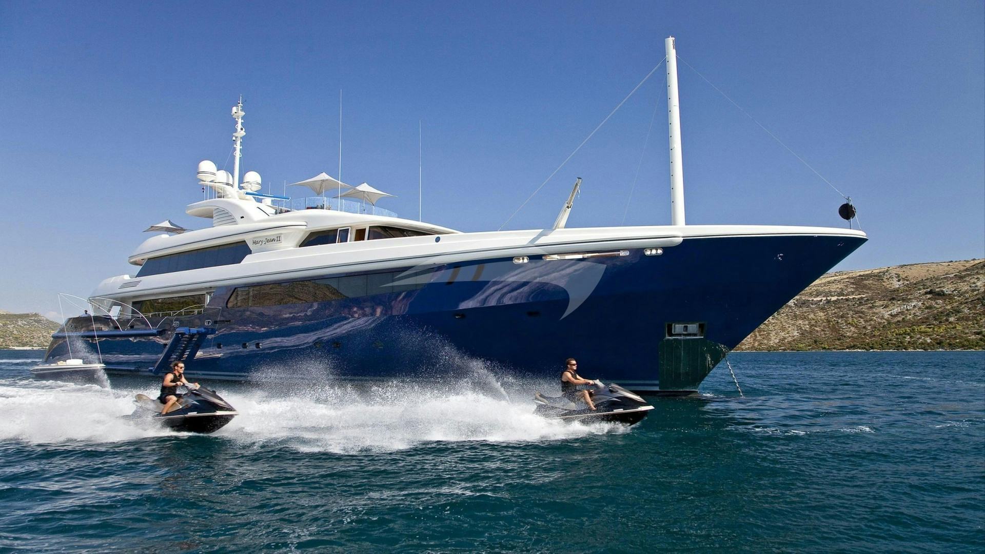
Situated on the estuary of the Rio Arade, Portimão serves as the primary deep-water maritime gateway to the southern coast of Portugal. While technically fronting the North Atlantic Ocean, the marine environment here operates as a crucial link between open ocean dynamics and Mediterranean microclimates. For those embarking on a Portimão Yacht Charter yacht charter, understanding the distinct operational characteristics of this coastline—from the high limestone cliffs of the western Barlavento to the vast barrier island lagoons of the eastern Sotavento—is essential for executing a seamless private charter.
The Algarve coast stretches approximately 85 nautical miles from the wind-scoured headlands of Cabo de São Vicente in the west to the Spanish border at the mouth of the Rio Guadiana in the east. Portimão sits almost precisely at the operational pivot point of this coastline. Protected by two massive outer breakwaters extending over 800 metres into the ocean, the port provides all-weather access regardless of tide or swell, making it the most reliable operational base for superyachts navigating the southern Iberian Peninsula.
The Coastal Landscape and Sea Areas
To plan a charter itinerary efficiently, a skipper divides the southern Portuguese coast into two distinct hydrographic zones: the Barlavento (windward) coast to the west of Portimão, and the Sotavento (leeward) coast extending east toward the Gulf of Cádiz.
### The Western Barlavento Coast The Barlavento features steep, golden sandstone and karst limestone cliffs punctuated by pocket beaches, sea caves, and dramatic offshore stacks known locally as leixões. From Portimão westward past Ferragudo, Ponta João d'Arens, Lagos, and Ponta da Piedade, the coastline faces south-southwest. This geometry offers exceptional natural shelter from prevailing northerly winds. However, because the seabed drops off rapidly into 20- to 30-metre contours within half a mile of the shore, ocean swells running from the west or southwest can break heavily against the cliff faces, creating reflective wave patterns that require careful positioning when at anchor.
Further west past Enseada de Sagres, the coastline curves sharply northward at Cabo de São Vicente. Here, the full kinetic force of the open Atlantic hits the land. High ocean swells, strong coastal currents, and sea stacks dominate the seascape. This area requires careful monitoring of wind and swell forecasts before committing to a passage.
### The Eastern Sotavento Coast East of Portimão and past the commercial port of Faro, the landscape shifts dramatically. The dramatic cliffs give way to low-lying sand dunes, expansive salt marshes, and the intricate barrier island network of the Ria Formosa Natural Park. Extending roughly 30 nautical miles between Anção and Cacela Velha, the Ria Formosa creates an internal network of sheltered tidal channels behind the barrier islands of Barreta, Culatra, Armona, Tavira, and Cabanas.
Cruising the Sotavento requires an entirely different style of navigation. Offshore waters feature shallow, gently sloping sandy seabeds where anchorages offer comfortable holding, though they lack high landmasses to block southerly breezes. Inside the barrier channels, precise tidal navigation is paramount to navigate the shifting sandbars and dynamic current shifts.
Prevailing Winds, Weather, and Sea States by Month
Cruising conditions along the southern coast of Portugal are heavily governed by the interaction between the Azores High-Pressure System, the Iberian thermal continental low, and Atlantic weather fronts.
### May and June Spring brings transitioning weather patterns. Prevailing winds alternate between moderate north-westerlies and soft southerly sea breezes. Average wind speeds range from 10 to 18 knots, though lingering Atlantic winter swells (1.5 to 2.5 metres) can occasionally roll in from the west. Sea surface temperatures hover around 16°C to 18°C. This is a tranquil time for cruising, provided itineraries remain flexible enough to accommodate occasional Atlantic low-pressure systems moving past the northern Iberian coast.
### July and August Summer delivers the most reliable charter weather, dominated by the local wind phenomenon known as the Nortada. Driven by the strong pressure gradient between the Azores High and the intense summer heat over the interior of Spain and Portugal, the Nortada blows from the north or north-northwest.
Along the south-facing coast between Portimão and Vilamoura, the Nortada functions as an offshore wind. It accelerates off the Monchique mountain range, frequently reaching 20 to 25 knots during late afternoon. Because the wind blows directly off the land, the sea state close inshore remains flat and calm, creating ideal conditions for motor yacht passages and water sports directly beneath the cliffs. However, as soon as a yacht clears major headlands like Ponta da Piedade or rounds Cabo de São Vicente, the full force of the wind and accompanying chop is felt. Sea temperatures peak between 20°C and 22°C, and ocean swells drop to a comfortable 0.5 to 1.2 metres.
Periodically in mid-summer, the regional airflow shifts to the southeast, bringing the Leste (or Levante). Originating in North Africa and the Strait of Gibraltar, the Leste brings hot, humid air and drives short, steep waves directly onto the south-facing beaches. When the Leste blows, captains must shift anchorages from exposed southern beaches to sheltered river mouths or north-facing bays.
### September and October Early autumn is regarded by experienced captains as the prime cruising window in the region. The intensity of the Nortada subsides, giving way to gentle 8- to 14-knot breezes. The ocean water reaches its maximum warmth, often remaining around 21°C well into October. Ocean swells are generally low (under 1 metre), and anchorages are quiet. Late October can bring the first autumn cold fronts from the Atlantic, introducing higher westerly swells and increased rainfall.
Primary Natural Anchorages and Shelter Specifications
Finding secure, comfortable holding along the Algarve requires selecting anchorages that match the prevailing wind direction and Atlantic swell vector.
### Rio Arade Estuary and Ferragudo (Portimão Outer Anchorage) Coordinates:* 37°07.2'N, 008°31.5'W Bottom Type:* Medium-density sand and heavy mud. Excellent holding in 4 to 8 metres depth. Shelter Provided:* Fully protected from W, NW, N, NE, and E winds. The massive stone breakwaters eliminate Atlantic ocean swell, making this one of the safest roadsteads on the entire south coast. Operational Notes:* Highly strategic for overnight anchoring when heavy swell prevents comfortable lay-outs off open beaches. Watch for tidal currents running up to 2.5 knots in the central channel during spring tides.
### Ponta João d'Arens and Praia do Submarino Coordinates:* 37°07.1'N, 008°35.4'W Bottom Type:* Patchy fine sand interspersed with submerged limestone rock shelf. Holding is good in visible sand pockets at 6 to 10 metres depth. Shelter Provided:* Protected from NW, N, and NE winds by high, sheer red-and-yellow sandstone cliffs. Completely open to S and SE swells. Operational Notes:* An outstanding daytime anchorage for swimming and tender operations around sea arches and isolated rock chimneys. Captains must use a scope of at least 5:1 and verify that the anchor is set in clean sand rather than flat limestone rock.
### Ponta da Piedade and Meia Praia (Lagos Bay) Coordinates:* 37°06.8'N, 008°39.8'W Bottom Type:* Uniform fine sand. Excellent, reliable holding throughout the bay in 5 to 12 metres depth. Shelter Provided:* Exceptional protection from N, NW, and W winds provided by the high promontory of Ponta da Piedade. Exposed to E and S winds and swells. Operational Notes:* The primary anchorage for visiting the famous sea grottos of Ponta da Piedade. Superyachts anchor 0.5 nautical miles off the headland in 10 metres of water, deploying ship tenders or chase boats to navigate the narrow rock passages.
### Enseada de Sagres Coordinates:* 37°00.4'N, 008°56.3'W Bottom Type:* Sand with occasional stone. Good holding in 8 to 14 metres depth. Shelter Provided:* Exceptional protection from NW, N, and NE winds under the massive fortification cliffs of Sagres. Exposed to S, SW, and SE ocean swells. Operational Notes: This is the ultimate staging anchorage before rounding Cabo de São Vicente into the North Atlantic. If a strong northerly Nortada* is blowing, Sagres provides flat water under the lee of the cliffs, though heavy Atlantic swells can wrap around the point, creating a slow roll on board.
### Praia da Marinha and Benagil Coordinates:* 37°05.3'N, 008°24.6'W Bottom Type:* Sand over rock. Moderate to good holding in 7 to 11 metres depth. Shelter Provided:* Good protection from N and NW winds. Partially sheltered from NE. Open to SW, S, and SE. Operational Notes: Primarily a daytime lunch anchorage. The seabed drops off quickly, and the proximity to high cliffs requires vigilance against unexpected downdrafts during strong Nortada conditions. Local maritime authorities strictly enforce entry zones around the Benagil Cave (Algar de Benagil*); commercial yacht tenders must adhere to local speed limits and designated approach corridors.
### Ilha da Culatra (Ria Formosa Lagoon Access) Coordinates:* 36°59.1'N, 007°49.6'W (Outer anchorage / Channel Entrance) Bottom Type:* Deep sand and mud. Exceptional holding in 5 to 9 metres depth inside the lagoon channel. Shelter Provided:* 360-degree protection from ocean swell provided by outer barrier sandbanks. Fully sheltered from all wind directions inside the main channel behind Culatra Island. Operational Notes:* Access requires entering via the deep-water channel of Barra Nova (between Culatra and Barreta islands). The channel is well-buoyed but subject to rapid tidal currents (up to 3.5 knots). Deep-draft yachts must time their entry with a rising tide. Once inside, the anchorage off Culatra village offers total protection in flat water.
Essential Day-Hop Distances and Transit Times
Understanding nautical mile matrixes helps structure smooth charter days with modest passage times, leaving ample time for anchorage activities.
Portimão to Benagil / Marinha:        5.5 NM
Portimão to Ponta da Piedade (Lagos): 6.2 NM
Portimão to Sagres (Enseada):        18.5 NM
Portimão to Cabo de São Vicente:     22.0 NM
Portimão to Albufeira:               12.8 NM
Portimão to Vilamoura:               20.5 NM
Portimão to Culatra / Ria Formosa:   36.0 NM
Portimão to Tavira Island:           47.0 NM
At a comfortable displacement cruising speed of 10 knots, the run from Portimão to the sea caves of Benagil takes under 35 minutes, while a transit west to Lagos Bay requires roughly 40 minutes. Extending a passage to the wild, rugged cliffs of Sagres requires a pleasant 1-hour and 50-minute coastal cruise. For guests wishing to venture east into the tranquil lagoons of Ria Formosa, the 36-nautical-mile passage takes approximately 3.5 hours, easily absorbed during a relaxed morning navigation while guests enjoy breakfast on deck.
Navigational Hazards and Local Knowledge
Cruising the Algarve coast requires specific local knowledge regarding fishing gear, shifting shoals, and micro-meteorology.
Key Navigational Watchpoints:
• Tuna trap networks (Almadrabas) deployed off Faro and Tavira (April to October).
• Unlit local fishing pots deployed within 1 nautical mile of limestone cliffs.
• Rapidly shifting sandbars at the entrances to Ria Formosa and Alvor estuaries.
• Sudden wind acceleration (katabatic effect) off high headlands during Nortada conditions.
### Tuna Traps (Almadrabas) From spring through early autumn, large, semi-permanent tuna net structures known as almadrabas are anchored off the coast between Faro, Olhão, and Tavira. These net complexes can extend up to two nautical miles offshore and are held by heavy cable grids secured by submerged anchors. They are marked by unlit yellow buoys and end-markers carrying radar reflectors and lights, but they present a severe entanglement hazard for yachts cutting close along the coast at night. Captains must consult the latest local Notices to Mariners (Avisos aos Navegantes) and maintain a minimum 2-nautical-mile offshore berth when transiting the Sotavento coast.
### Pots and Unlit Buoys Local artisanal fishermen set lobster pots, octopus traps, and short longlines along the entire cliff line from Carvoeiro to Sagres. These are frequently marked only by small plastic jerrycans, dark flag buoys, or styrofoam floats that lie flush with the water surface. Keeping a dedicated lookout on the bow when navigating within the 20-metre depth contour is crucial to prevent wrapping line around shafts, propellers, or stabilizer fins.
### Tidal Currents and Estuarine Bars The tidal range along southern Portugal varies between 1.3 metres during neaps and 3.8 metres during spring tides. This tidal movement generates significant water volume exchange at river mouths and lagoon inlets. The bar at the entrance to the Alvor estuary (west of Portimão) is unlit, shallow, and prone to shifting sandbanks; it should not be attempted by deep-draft motor yachts.
At the Ria Formosa entrances (Barra Nova and Barra de El Rei), strong ebbtides running against a southerly swell can create steep, breaking seas directly across the channel mouth. Transits through these channels should strictly coincide with slack water or mid-flood tide.
### Wind Amplification at Headlands During summer Nortada conditions, wind speeds can increase by 10 to 15 knots as air funnels around major coastal landmasses. When rounding Ponta da Piedade or Cabo de São Vicente, a gentle 12-knot breeze in a protected bay can instantly transform into a 25-knot gale with short, sharp seas once past the lee of the cliff face. Guests should be advised to secure loose items on deck prior to rounding these key geographical points.
How a Captain Plans a Seven-Day Charter Itinerary
A successful itinerary out of Portimão balances high-energy cliff exploration with calm, protected nights at anchor or in luxury marinas. By leveraging the region's geographic layout, a skilled captain structures a week-long charter that mitigates swell exposure and adapts instantly to weather changes.
### Phase 1: The Western Cliff Circuit (Days 1 to 3) After boarding at Portimão, the charter begins with a short 6-nautical-mile run west to the Ponta da Piedade promontory outside Lagos. The captain drops anchor in 8 metres of water in the lee of the headland off Meia Praia. Guests spend the afternoon exploring the labyrinthine water paths, sea arches, and hidden grottos using the yacht's tender and paddleboards.
Dinner is served at anchor in flat water beneath the red cliffs of Ponta João d'Arens, where the high landmass completely blocks the afternoon Nortada.
The following morning, the yacht cruises west toward Sagres and Cabo de São Vicente. This 18-nautical-mile passage offers a dramatic shift in scenery as the landscape grows taller, wilder, and more oceanic. The captain drops anchor in the sheltered amphitheatre of Enseada de Sagres directly beneath the 16th-century fortress. Guests enjoy an afternoon of wakeboarding and jet-skiing in flat water protected from the Atlantic swell.
If conditions allow, the yacht rounds Cabo de São Vicente at sunset—allowing guests to toast the setting sun at the southwesternmost tip of continental Europe—before returning to the safety of Lagos Marina or the Rio Arade roadstead for a peaceful night.
### Phase 2: The Cave Coast and Central Algarve (Days 4 to 5) Steering east from Portimão, the itinerary shifts to the famous cave coast between Ferragudo and Armação de Pêra. The yacht anchors off Praia da Marinha, widely regarded as having some of the most striking geology in the eastern Atlantic. The crew deploys the tender for a guided tour inside the Benagil Cave, timing the visit for mid-morning when sunlight pours directly through the top eye (algar) of the cave ceiling onto the interior beach.
For lunch, the yacht moves a mile east to Praia da Albandeira, anchoring in a quiet cove sheltered by natural stone arches. In the late afternoon, the yacht makes a quick 12-nautical-mile run to the luxury resort marina of Vilamoura or anchors off the long, golden sand beaches of Vale do Lobo, where guests can head ashore for world-class dining and beach club atmosphere.
### Phase 3: The Lagoon Sanctuaries of Ria Formosa (Days 6 to 7) The final leg of the charter takes the vessel 20 nautical miles further east to the pristine barrier island ecosystem of the Ria Formosa. Entering the deep channel at Barra Nova on a rising tide, the captain brings the yacht to anchor in 6 metres of clear, turquoise water just off the small fishing village on Ilha da Culatra.
Here, the water is entirely mirror-flat, completely isolated from ocean swells by miles of surrounding outer sandbanks. Guests spend the day exploring pristine sandbars, paddleboarding through calm tidal channels filled with birdlife, and sampling local seafood cooked over charcoal at simple island establishments ashore.
On the final morning, the yacht executes a smooth 36-nautical-mile passage back to Portimão, running close along the coastline to give guests a final view of the golden cliffs before stepping off at the quay.
By understanding the interplay between the Nortada winds, Atlantic swells, and the unique shelter profiles of these coastal features, a skipper turns a Portimão Yacht Charter yacht charter into an exceptionally diverse cruising experience, combining open-ocean navigation with calm, secluded anchorages.