
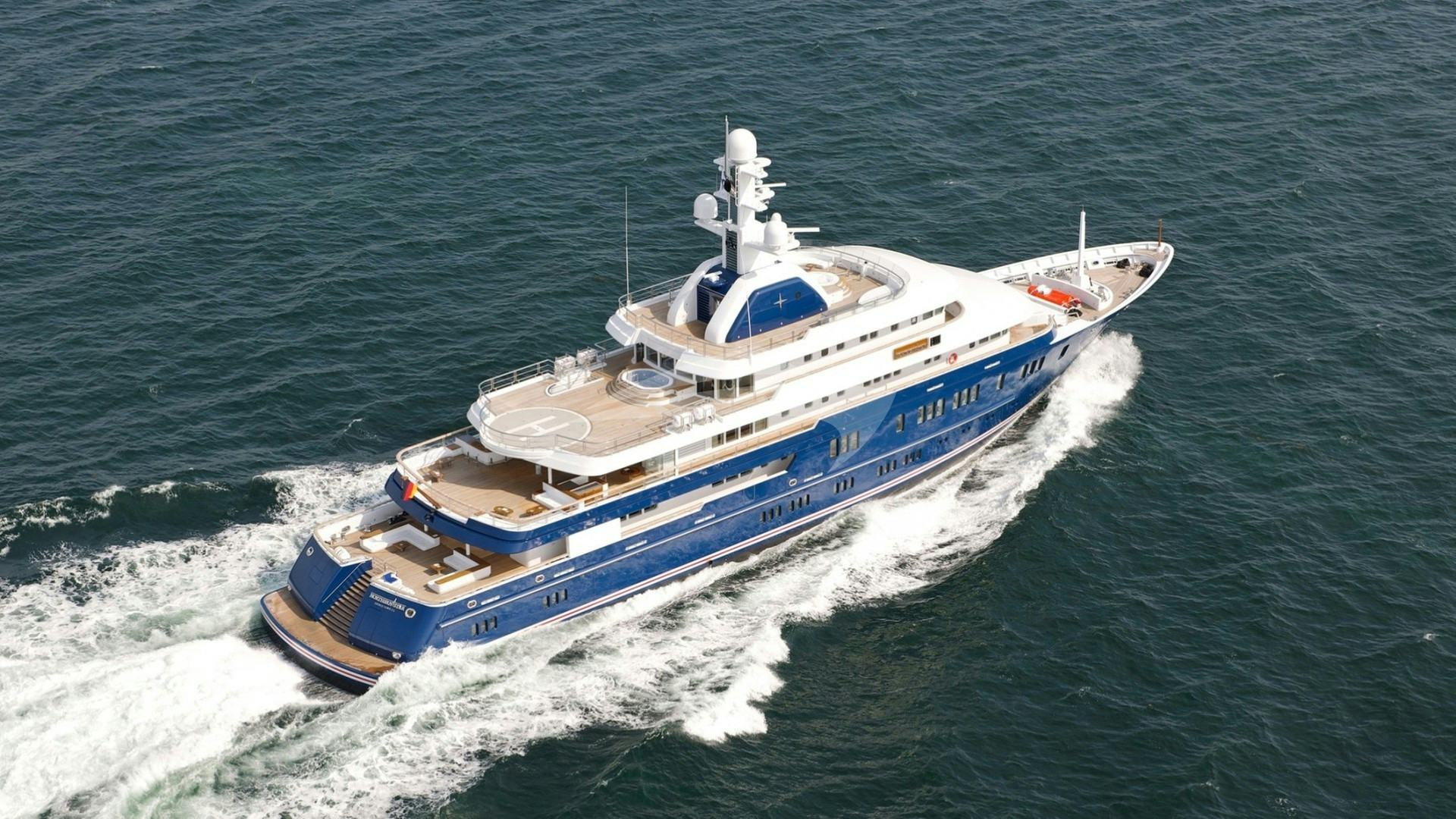
The Northern Sporades present one of the Mediterranean’s most compelling cruising grounds, characterised by dense pine forests that cascade directly to the waterline, deep coastal drop-offs, and exceptional water clarity. Situated in the north-western Aegean Sea, the primary chain—comprising Skiathos, Skopelos, Alonnisos, and Skyros, alongside an array of uninhabited islets—offers a stark contrast to the arid, wind-blasted topology of the southern Cyclades. For those embarking on a Sporades Yacht Charter yacht charter, the region provides a balanced mix of short, protected passages and challenging open-water legs, set against the backdrop of Europe’s largest marine protected area.
Navigating this archipelago successfully requires a thorough understanding of localized meteorological phenomena, complex pilotage around isolated reefs, and precise anchoring tactics. Unlike regions dominated by continuous quay berthing, a Sporades itinerary relies heavily on wild anchoring, often utilizing long stern lines secured to shore due to the steep underwater gradient. This guide provides the nautical clarity and tactical insight required to command or plan an itinerary through these waters.
The Wind Regimes: Month-by-Month Conditions
Cruising in the Sporades is dictated by the interaction between the mainland Balkan weather systems and the summer Aegean pressure gradients. While the region experiences the Meltemi, the north-easterly summer wind is generally less aggressive here than in the Central Aegean, buffered by the Pelion peninsula and Mount Athos to the north.
### May May is a gentle, transitional month. The prevailing winds are predominantly light variable or south-westerly, rarely exceeding Force 3 to 4 (7–15 knots). Thermal afternoon sea breezes develop reliably along the coastlines of Skiathos and Skopelos. Sea surface temperatures remain cool at around 18°C to 19°C. Swell is minimal, making this an ideal month for gentle coastal navigation, though ambient air temperatures can drop significantly at night in the lee of the high islands.
### June June delivers settled, highly predictable early-summer conditions. Wind conditions settle into a steady north-westerly or north-easterly pattern, building to Force 3 to 5 (10–18 knots) by mid-afternoon and flattening entirely at sunset. Ambient water temperatures rise to 22°C. The anchorages are quiet, holding ground is reliable, and open-water passages between Alonnisos and the outer islets present negligible risk of heavy seas.
### July July marks the formal arrival of the Meltemi. In the Sporades, this wind blows from the north-north-east. It typically accelerates through the gaps between the islands—most notably the Skiathos Channel and the passage between Skopelos and Alonnisos. Expect Force 5 to 6 (17–27 knots) for periods of three to five consecutive days. While the lee of the islands offers perfectly flat water, katabatic squalls coming off the high peaks of Skopelos can strike anchored vessels with unexpected force.
### August August represents the peak of the Meltemi season. Winds of Force 6, occasionally touching Force 7 (28–33 knots) in the open channels, can persist for a week or more. The sea state in the channel between Alonnisos and Skyros becomes short, steep, and aggressive, with wave heights reaching 2.5 to 3 metres. Planning must account for these cycles; cruising within the inner island chain (Skiathos to Alonnisos) remains comfortable by working the southern, protected coasts, but offshore transitions to Skyros require careful timing around wind lulls.
### September September is widely regarded by professional captains as the premier month for cruising the Sporades. The Meltemi loses its fierce consistency, yielding to gentle north-easterly breezes of Force 3 to 4 (8–15 knots). Sea temperatures peak at 25°C, thermal stability reduces katabatic risk, and night-time conditions in the anchorages are exceptionally calm.
### October Late season brings autumn weather transitions. The prevailing wind shifts between north-east and south-west, with Force 4 to 5 conditions common as frontal systems move across mainland Greece. Short-lived thunderstorms can pass through, bringing sudden wind shifts and heavy downpours. Anchorage selection must shift focus toward all-round protection rather than purely Meltemi-shielded coves.
Essential Pilotage and Navigational Hazards
While the Sporades offer deep water close to shore, several distinct hazards demand vigilant watchkeeping and sound pilotage.
- Lefteris Reef (Lefkari): Located in the middle of the strait between Skiathos and the Pelion peninsula (Magnesia mainland), this low-lying, razor-sharp reef is a infamous navigational hazard. Marked by a light structure, it has claimed ships since antiquity. Off-lying shoals extend several cables from the main rock; give this area a berth of at least one nautical mile unless navigating strictly via cleared channels in daylight.
- National Marine Park Restrictions: The National Marine Park of Alonnisos and Northern Sporades (NMPANS) is divided into distinct management zones. Zone A is subject to strict environmental regulations. The island of Piperi is the core sanctuary for the Mediterranean monk seal (Monachus monachus) and is subject to a strict 3-nautical-mile approach prohibition for all private vessels. Anchoring on Kyra Panagia, Gioura, and Skantzoura is restricted to specific designated bays, and night-anchoring fees apply.
- Katabatic Wind Squalls: The topography of Skopelos rises sharply to Mount Delphi (681 metres). During a strong Meltemi, the wind accelerates down these vertical forest slopes. Anchorages that appear sheltered on paper—such as Panormos or Agnontas—can experience violent, localized fall-winds (williwaws) off the high land that double the ambient wind speed in seconds.
- Narrow Entrance to Ormos Planitis: The northernmost bay of Kyra Panagia, Ormos Planitis, is a virtually landlocked natural lagoon. The entrance channel is extremely narrow (under 80 metres wide) with underwater rock ledges projecting from the eastern spit. Maximum draft in the entrance channel is restricted to under 3.5 metres, and entering during a heavy north-easterly swell is dangerous due to breaking seas across the shallow bar.
Cruising Ground Anatomy and Day-Hop Distances
The spatial distribution of the Sporades allows for moderate, manageable day hops, enabling a flexible itinerary that can be adapted rapidly to changing wind patterns.
Skiathos serves as the Western gateway, highly developed and home to the region’s principal airport. Moving east, Skopelos presents a mountainous, heavily forested landmass with deep-water bays along its south and west coasts. Alonnisos marks the boundary of the wilder, nature-dominated eastern sector, beyond which lies the uninhabited network of Marine Park islands—Peristera, Kyra Panagia, Gioura, and Skantzoura—and ultimately, the isolated, windswept island of Skyros far to the south-east.
### Key Passages and Nautical Distances * Skiathos Town Harbour to Panormos Bay (Skopelos): 11 NM * Panormos Bay to Skopelos Town (Chora): 12 NM (around Cape Gourouni) or 8 NM (via South Coast) * Skopelos Town to Patitiri Harbour (Alonnisos): 10 NM * Patitiri to Steni Vala (Alonnisos): 6 NM * Steni Vala to Ormos Vassiliko (Peristera): 3.5 NM * Steni Vala to Agios Petros (Kyra Panagia): 15 NM * Agios Petros to Ormos Planitis (Kyra Panagia): 7 NM * Kyra Panagia (Agios Petros) to Linaria Port (Skyros): 38 NM
[Skiathos Town] ---11 NM---> [Panormos Bay] ---10 NM---> [Patitiri]
                                                            |
                                                           6 NM
                                                            v
[Kyra Panagia] <---15 NM--- [Peristera] <---3.5 NM--- [Steni Vala]
      |
    38 NM
      v
[Skyros / Linaria]
Tactical Anchorage Guide: Shelter and Holding
Selecting the correct anchorage in the Sporades requires matching the current wind sector against the steep, underwater topography characteristic of these glacial-cut islands. In many bays, water depths drop off precipitously from 20 metres down to 3 metres within a boat length of the shore.
### Panormos Bay (Skopelos) Position: 39°06'.5N, 023°39'.5E Panormos is a deep, fjord-like indentation on the south-west coast of Skopelos. It offers exceptional protection from the Meltemi (N to NE winds). The seabed consists of coarse sand and patches of dense Posidonia seagrass. Tactics:* Drop anchor in 12–15 metres on the clear sand patches near the head of the cove or in the southern arm (Blo Bay). Run long stern lines ashore to the pine trunks or rocks using chafe guards. Shelter:* Outstanding from N, NE, E, and NW. Exposed to heavy swell if the wind swings west or south-west.
### Agios Petros (Kyra Panagia) Position: 39°18'.8N, 024°03'.4E Located on the south-west side of Kyra Panagia, this bay features an islet at its mouth and distinctive reddish clay banks. It is one of the premier wild anchorages in the Marine Park. Tactics:* Depths range from 6 to 12 metres over a mix of sand, mud, and weed. Holding is excellent once the anchor penetrates the upper weed layer. Deploy a generous scope of chain (at least 5:1) and secure stern lines to the yellow-stained rocks on the northern or eastern shores. Shelter:* Completely shielded from the Meltemi (N, NE, E). Subject to minor wind funnelling through the central saddle of the island, but zero wave action.
### Ormos Planitis (Kyra Panagia) Position: 39°20'.2N, 024°04'.8E A vast, almost entirely enclosed natural harbour at the northern tip of the island. Tactics:* After navigating the narrow, shallow entrance channel, the bay opens into eastern and western arms with depths of 4 to 8 metres over a thick mud bottom. Holding is atomic. Shelter:* Total protection from sea and swell from all 360 degrees. However, strong Meltemi conditions generate severe katabatic down-drafts over the surrounding hills. Double snubbers should be fitted to the anchor chain to absorb the shock loads from sudden wind gusts.
### Ormos Vassiliko (Peristera) Position: 39°11'.5N, 023°58'.2E A deeply indented, uninhabited bay on the west coast of Peristera, facing Alonnisos. Tactics:* Anchoring depths range from 8 to 16 metres over sand and mud. The inner head of the bay provides immaculate holding. Lay a long anchor scope and take stern lines to the rocky ledges on either side. Shelter:* Excellent shelter from N, NE, E, and SE. Open only to direct W/SW winds, which are rare during the summer cruising season.
### Agnontas (Skopelos) Position: 39°05'.1N, 023°44'.2E A narrow, south-facing pine-fringed bay that serves as a secondary fishing harbour and dynamic weather refuge. Tactics:* When the Meltemi blows hard enough to render Skopelos Town quay dangerous due to over-topping swell, commercial ferries and yachts alike divert to Agnontas. Yachts can berth stern-to the small quay (depths 2.5–3.5m) or anchor in the outer cove in 10–12m with lines to the trees. Shelter:* Flawless protection during severe N and NE gales. Completely open to S and SW.
### Ormos Koukounaries & Tsougria Island (Skiathos) Position: 39°08'.8N, 023°24'.2E (Koukounaries) / 39°07'.2N, 023°29'.8E (Tsougria) These serve as the primary day-anchorages at the western end of the chain. Koukounaries offers a sweeping crescent of sand with fine holding in 4–8 metres of sand. Tsougria, an islet off Skiathos Town, features clear turquoise waters over fine white sand on its western shore. Tactics:* Standard anchoring without stern lines is fine here during daylight hours. Shelter:* Excellent protection from N and NE breezes. Exposed to any southern or western weather systems.
How a Captain Executes a Seven-Day Itinerary
Executing a flawless week-long charter in the Sporades requires a clear strategic logic: secure the offshore, exposed segments early in the week when weather windows open, or build a flexible, protected route within the inner islands if the Meltemi locks in.
Below is the operational logic a professional captain uses to structure a classic round-trip itinerary originating from Skiathos.
DAY 1: Skiathos Town ---> Panormos Bay (Skopelos) [11 NM]
DAY 2: Panormos Bay ---> Steni Vala (Alonnisos) [16 NM]
DAY 3: Steni Vala ---> Agios Petros (Kyra Panagia) [15 NM]
DAY 4: Kyra Panagia ---> Linaria (Skyros) [38 NM]  *Weather Permitting*
       (Alternative: Ormos Planitis & Peristera Exploration)
DAY 5: Skyros / Marine Park ---> Skopelos Town (Chora) [28–35 NM]
DAY 6: Skopelos Town ---> South Coast Bays ---> Koukounaries (Skiathos) [18 NM]
DAY 7: Koukounaries ---> Skiathos Town Base [6 NM]
### Day 1: Embarkation and Tactical Clearance to Skopelos Following safety briefings and vessel familiarisation in Skiathos Town, the captain exits the Skiathos Channel before the afternoon thermal breeze peaks. Crossing the 11-nautical-mile stretch to Panormos Bay on Skopelos gets the vessel clear of the busy traffic zones early. The yacht anchors in the deep water of Blo Bay, setting long stern lines ashore to pine trees before sunset. Dinner is taken aboard or at a quiet shore tavern on the beach.
### Day 2: The South Coast of Skopelos to Alonnisos Morning swim in the calm waters of Panormos. The vessel gets underway by 10:00 to transit the southern coast of Skopelos. A mid-day stop is made at Staphylos or Cape Amarandos for swimming and lunch, anchored in 10 metres over clear sand. In the afternoon, the yacht executes a 10-nautical-mile passage across the Alonnisos Channel to Patitiri or Steni Vala. Steni Vala provides a small, authentic quay where the captain can take stern-to berthing, replenish fresh water, and arrange local fresh crayfish for the galley.
### Day 3: Entering the Marine Park Sanctuary The yacht leaves Alonnisos behind and enters the controlled waters of the National Marine Park. A short 3.5-nautical-mile hop brings the vessel to Peristera for a morning swim over the ancient shipwreck sites. By early afternoon, the captain navigates north to Kyra Panagia, covering 15 nautical miles to drop anchor in Agios Petros. The crew deploys the tender and kayaks to explore the red sea caves, while long lines are secured to the southern rocks in anticipation of the evening Meltemi shift.
### Day 4: The Offshore Pivot Decision This is the strategic crossroad of the itinerary. Option A (Settled Conditions / Light Meltemi):* The captain commits to the 38-nautical-mile open-water passage south-east to Skyros. Leaving at 07:00, the yacht crosses the Skyros Channel, arriving by early afternoon at Linaria Port on Skyros' west coast. This opens up the distinct, Cycladic-influenced culture and geology of Skyros. Option B (Strong Meltemi Force 6+):* The captain elects to stay within the northern Marine Park shelter. The day is spent exploring the northern landlocked lagoon of Ormos Planitis on Kyra Panagia, navigating the narrow channel with active forward-looking sonar, followed by an evening anchored in the isolation of Ormos Vassiliko on Peristera.
### Day 5: Western Return via Skopelos Chora If coming from Skyros, the vessel undertakes a 35-nautical-mile beam reach back toward the inner chain. If remaining in the northern park, the route is a leisurely 12-nautical-mile sail southwest. The destination is Skopelos Town (Chora), built like an amphitheatre on the north-east hillside. The captain berths stern-to at the outer breakwater quay, monitoring the NE swell closely. Guests go ashore to explore the cobbled alleyways and sample the traditional Skopelitiki twisted cheese pie made with local goat cheese and crisp pastry.
### Day 6: The Southern Lee of Skopelos to Skiathos The yacht departs Skopelos Town, rounding Cape Gourouni or tracing the southern clifflines. A midday stop is staged at Tsougria Island, off Skiathos, anchoring in 5 metres of turquoise water over fine sand for water sports. By late afternoon, the yacht moves to the famous beach anchorage of Koukounaries on the south-west tip of Skiathos, anchoring in the wide bay to watch the sunset over the Pelion mountains.
### Day 7: Final Coastal Stretch and Base Return A final morning swim in the clear waters of Koukounaries or nearby Ormos Vassilias. A short 6-nautical-mile coastal transit takes the yacht back into Skiathos Town Harbour. The captain coordinates fuel dock clearance before taking the final berth at the charter quay, completing a balanced, weather-optimized circuit of the Sporades archipelago.