
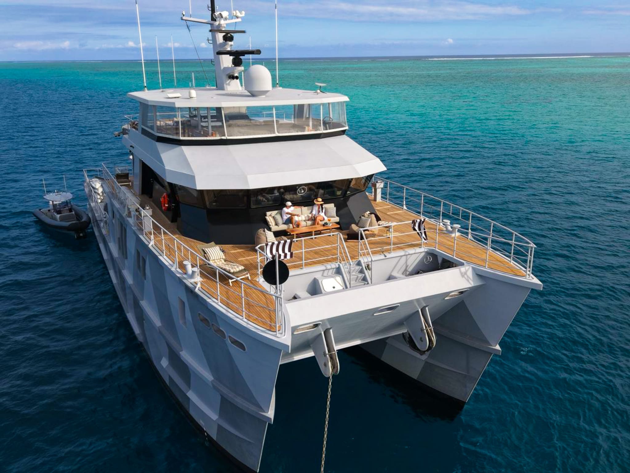
Saint-Barthélemy occupies an extraordinary position in the Leeward Islands. Rising from the Anguilla Bank, this 21-square-kilometre French collectivity offers a distinct cruising environment where European maritime infrastructure meets the raw ocean dynamics of the Atlantic-Caribbean interface. For the master of a vessel, executing a flawless itinerary around the island requires a precise reading of local bathymetry, seasonal trade wind variations, and ground swell phenomena. While the shore side of Saint-Barthélemy attracts global attention for its gastronomy and refine, the seaward side demands disciplined seamanship, exact anchoring calculations, and a clear understanding of exposure across its varied bays and outer islets.
Navigating these waters involves balancing the shelter of western lee anchorages with the open passages of the Saint-Barthélemy Channel. Whether managing a deep-draught motor yacht requiring offshore holding in the Gustavia Outer Roads or handling a high-performance catamaran navigating the soundings between Île Fourchue and Colombier, this guide provides the technical and geographical intelligence required to command a successful voyage.
The Coastal Topography and Sea Areas of St Barts
The coastline of Saint-Barthélemy is defined by volcanic geology, steep headlands, and shallow coral shelves. The island sits atop a submarine plateau shared with Saint-Martin and Anguilla, where water depths rarely exceed 35 to 40 metres across the inter-island channels. However, the immediate coastal fringe transitions rapidly from deep blue water to fringing reefs and shallow sandy basins.
The maritime territory around the island can be divided into four distinct operational sectors:
- The Western Lee (Gustavia to Anse de Colombier): The primary operating zone for superyachts, providing shelter from the prevailing easterly trades, though vulnerable to north-west Atlantic swells.
- The Windward South Coast (Anse de Grande Saline to Point Toiny): Highly exposed to trade wind chop and oceanic swells, characterized by dramatic cliffs, deep water close to shore, and limited safe anchorages.
- The Northern Reef System (Baie de Saint-Jean to Grand Cul-de-Sac): Protected by extensive barrier reefs, offering shallow turquoise lagoons accessible primarily by tender or shallow-draught vessels.
- The Outer Islets (Île Fourchue, Île Coco, Île Frégate): Uninhabited volcanic outcrops offering isolated day moorings, excellent diving soundings, and strategic stepping stones across the channels.
Understanding these marine sectors allows captains to shift position fluidly as wind vectors and ocean swells evolve throughout a charter.
Seasonal Weather Mechanics: Winds, Swell, and Sea State
Sailing conditions around Saint-Barthélemy are dominated by the North Atlantic trade wind belt, but seasonal nuances dictate route planning and anchorage selection.
November to January: The Christmas Winds
Late autumn and early winter mark the arrival of the "Christmas Winds" (Les Vents de Noël). During these months, the trade winds intensify, blowing consistently from the east-north-east at 18 to 25 knots, with squalls occasionally pushing velocity above 30 knots.
Simultaneously, low-pressure systems tracking across the North Atlantic generate powerful long-period northern ground swells (12 to 16-second periods). These swells wrap around Pointe de Carenage and roll directly into the Gustavia Outer Roads and Anse de Colombier. During heavy swell events, the inner harbour of Gustavia can experience severe surge (clapotis), requiring vessels moored stern-to the quay to set heavy spring lines, deploy additional fenders, and maintain constant watch on their ground tackle.
February to April: The Prime Cruising Window
This period represents the most stable meteorological window in the Northern Leewards. Trade winds settle into a reliable easterly vector, averaging 15 to 20 knots. The frequency of severe northern swells diminishes, though captains must remain vigilant for residual ocean waves from distant Atlantic storms.
Sea state in the open channels—such as the 12-nautical-mile stretch between Gustavia and Saint-Martin—typically runs at 1.5 to 2.2 metres. The lee of the island from Anse de Colombier down to Anse de Grand Galet remains calm, providing ideal conditions for water sports, tender operations, and comfortable overnight anchoring. When planning a St Barts Yacht Charter yacht charter during these months, captains can execute precise, predictable day-hops throughout the island's territorial waters.
May to October: Lighter Airs and Tropical Considerations
From late spring into autumn, the trade winds shift south-east and lighten, often averaging 10 to 15 knots. Air temperatures rise, and sea state subsides to under 1.2 metres in the channels. While conditions can be idyllic for smooth passages, this period coincides with the Atlantic hurricane season.
Captains operating in these months must monitor tropical waves emerging off the African coast. The south coast anchorages, such as Anse de Gouverneur, become far more viable during light northerly or south-easterly wind regimes, provided no southerly ocean swell is present.
Primary Anchorages, Port Facilities, and Shelter Profiles
Selecting the correct anchorage requires balancing land access, wind direction, sea state, and environmental regulations established by the Réserve Naturelle de Saint-Barthélemy.
Gustavia Outer Roads and Inner Harbour
Gustavia is the principal port of entry and maritime hub of Saint-Barthélemy. The port is split into two distinct areas: the Inner Harbour (Le Carénage) and the Outer Roads (La Rade).
The Inner Harbour offers stern-to berths along the Capitainerie quays for yachts up to 60 metres, with draft limits of approximately 3.8 to 4.0 metres along the main commercial quay. Docking here puts guests steps from high-end boutiques and world-class dining. However, space is strictly limited, and reservations through the Port de Gustavia must be secured months in advance for peak periods. The harbour basin offers complete shelter from trade wind seas, but can develop a heavy surge during northern swells, forcing vessels to pull off the quay.
Large motor yachts over 60 metres or deep-draught vessels anchor in the Outer Roads, south-west of the harbour entrance. Depths range from 12 to 20 metres over coarse sand, shell, and broken coral. Holding is generally good, but the area is completely open to the west and north-west. If a heavy north swell develops, anchoring in the Outer Roads becomes uncomfortable due to rolling, prompting captains to weigh anchor and relocate to safer lee positions.
Anse de Colombier
Located at the north-western tip of Saint-Barthélemy, Anse de Colombier is widely considered the finest natural anchorage on the island. Framed by high, green hillsides and accessible on land only via a steep hiking trail, it forms part of the marine reserve.
Anchoring directly on the seabed within the bay is prohibited to protect native turtle grass beds (Thalassia testudinum). The Réserve Naturelle maintains a network of heavy-duty mooring buoys suited for vessels up to 26 metres (85 feet). Yachts exceeding this length must anchor in the outer approaches of the bay in depths of 12 to 18 metres on clean sand, outside the protected boundaries.
Colombier provides excellent shelter from north-east, east, and south-easterly winds. The water is exceptionally clear, making it a primary spot for afternoon swimming, paddleboarding, and snorkeling around the northern point, Pointe de Colombier. However, like Gustavia, Colombier is exposed to northerly ground swells, which can cause significant surf along the beach and make tender transfers to shore difficult.
Île Fourchue
Positioned 3.2 nautical miles north-west of Pointe de Colombier, Île Fourchue is a stark, uninhabited volcanic islet that forms part of the Saint-Barthélemy nature reserve. Its horseshoe shape creates a natural, amphitheatre-like bay facing south-west.
The bay at Île Fourchue provides deep, secure anchorage in 8 to 14 metres of fine white sand and broken shell. Holding is superb. The high volcanic ridges block easterly trade winds, though strong gusts often funnel down through the central saddle of the island. Because the bay opens to the south-west, it remains calm even when a moderate north-east swell is running in the open channel.
Île Fourchue is an exceptional daytime stopover for sea bobbing, scuba diving along the drop-offs, and enjoying a quiet lunch away from the mainland. Overnight stays are peaceful in settled conditions, offering absolute privacy under clear night skies.
Baie de Saint-Jean and Anse de Gouverneur
For guests seeking beach club culture, Baie de Saint-Jean on the north coast is a prime daytime destination. However, navigating Saint-Jean requires caution. The bay is protected by an extensive, shallow coral reef that breaks trade wind seas. Only tenders and shallow-draught boats can cross the pass into the calm, turquoise lagoon inside the reef.
Superyachts must anchor outside the barrier reef in 10 to 15 metres of water, exposed to trade winds and ocean swells. This is strictly a daytime anchorage in light to moderate weather, requiring a skilled tender driver to navigate guests safely through the reef pass to shore.
On the south coast, Anse de Gouverneur offers a dramatic backdrop of towering cliffs and pristine white sand. The anchorage lies in 6 to 10 metres of clean sand with excellent holding. It is sheltered from north and north-east winds, but fully open to the east-south-east trade wind sea and southerly swells. Captains typically utilize Gouverneur during periods when the trade winds drop below 12 knots and pull slightly north of east.
Regional Passages and Nautical Distances
Saint-Barthélemy serves as an ideal hub within the Northern Leeward Islands, positioned within short cruising distances of Saint-Martin, Anguilla, Saba, and Saint Kitts.
Gustavia to Anse de Colombier: 4.2 NM
Gustavia to Île Fourchue: 5.5 NM
Gustavia to Tintamarre (Saint-Martin): 13.5 NM
Gustavia to Philipsburg (Sint Maarten): 14.0 NM
Gustavia to Marigot (Saint-Martin): 22.0 NM
Gustavia to Road Bay (Anguilla): 28.5 NM
Gustavia to Ladder Bay (Saba): 29.0 NM
Gustavia to Christophe Harbour (Saint Kitts): 42.0 NM
Passages between Gustavia and Saint-Martin or Anguilla cross the open waters of the Saint-Barthélemy Channel. When trade winds blow at 20 knots from the east, these short 1.5 to 2-hour crossings offer exhilarating beam-reach sailing for sailing yachts, while modern motor yachts with zero-speed stabilisers can execute these hops with minimal disturbance to guests onboard.
Clearance formalities are streamlined at the Capitainerie in Gustavia, where captains use electronic clearance terminals to process incoming and outgoing customs and immigration documents quickly.
Critical Navigational Hazards and Local Hydrography
While the waters surrounding Saint-Barthélemy are deep and clear, several offshore rocks, reefs, and local environmental hazards require careful attention during navigation:
- Roche Table (Table Rock): Located approximately 1.2 nautical miles east-north-east of Île Fourchue, Roche Table is an isolated rock that breaks the surface, surrounded by shallow reefs. It is a critical hazard when executing passages between St Barts and Saint-Martin at night or in low visibility.
- Le Bœuf (The Bull): A dangerous, submerged rock structure situated midway between Saint-Barthélemy and Île Fourchue. It is exposed to channel swells and breaks heavily in moderate seas. Vessels should give Le Bœuf a wide berth of at least 0.5 nautical miles.
- Les Grenadiers and Toc Vers: A series of jagged rocks and shallow reefs extending off the north-eastern coast near Anse de Grande Saline and Grand Cul-de-Sac. High ocean swells break unpredictably over these shoals.
- Gustaf III Airport Approach Path: The runway of Gustaf III Airport (TFFJ) terminates directly at the beach at Baie de Saint-Jean, with aircraft approaching low over the hill at Col de la Tourte and departing over the bay. Vessels anchoring or operating tenders off Baie de Saint-Jean must strictly avoid the marked flight path corridor extending seaward from the runway threshold.
- Marine Reserve Regulations: The Réserve Naturelle de Saint-Barthélemy enforces strict zoning laws. Anchoring in live coral or seagrass beds is strictly illegal and subject to severe fines. Captains must use designated mooring fields or verify sand-only bottom characteristics before dropping anchor.
How a Master Plans a Seven-Day St Barts Itinerary
Executing a seam-free seven-day charter requires balancing dynamic sea conditions with guest requests for dining, beach clubs, water sports, and solitude. A veteran captain structures the week to minimize rough passage time while maximizing time spent in pristine anchorages.
Days 1–2: Arrival, Port Life, and Western Anchorages
Guests embark in Gustavia Harbour, settling into port life. Day one involves an evening at berth alongside the quay, giving guests direct access to Gustavia’s world-renowned restaurants and boutiques. The captain monitors wind forecasts and ocean swell charts while completing customs declarations.
On morning two, after a brief safety briefing, the yacht drops lines and executes a short 20-minute passage (4.2 nautical miles) along the coast to Anse de Colombier. The yacht secures a heavy mooring buoy or drops anchor in the outer sand basin. Guests spend the afternoon enjoying clear waters, paddleboarding, and snorkeling along the marine reserve boundaries. Dinner is served on the aft deck in calm, sheltered waters.
Days 3–4: Outer Islets and Offshore Islands
On day three, the yacht weighs anchor early for a brief 3-mile run to Île Fourchue. The captain anchors in the central turquoise cove. Guests spend the morning diving the volcanic drop-offs or hiking the ridge for panoramic views back toward Saint-Barthélemy.
By mid-afternoon, the vessel pulls up anchor for a comfortable 13.5-nautical-mile beam reach across the Saint-Barthélemy Channel to Île Tintamarre, an uninhabited island off the north-east coast of Saint-Martin. Anchoring in fine sand off the western beach of Tintamarre, guests enjoy sunset drinks surrounded by dramatic red clay cliffs, staying overnight in peaceful shelter.
Days 5–6: Anguilla Day Hop and North Coast Access
Day five brings a morning run of 15 nautical miles west to Anguilla’s Rendezvous Bay or Road Bay. The flat topography of Anguilla offers miles of powder-white sand beaches and shallow, turquoise anchorages protected from Atlantic swell. The yacht anchors in 5 metres of crystal-clear water, deploying the full water-sports setup.
On day six, the yacht executes a return passage southeast toward Saint-Barthélemy. If conditions are calm, the captain anchors off the outer reef of Baie de Saint-Jean. Tenders are launched to take guests over the shallow reef pass directly to the famous beach clubs lining the shore. The evening concludes with a short run back into the Gustavia Outer Roads or a reserved quay berth inside the harbour.
Day 7: South Coast Anchorage and Disembarkation
On the final morning, if trade winds are moderate, the yacht makes a slow coastal cruise around Pointe Nègre to Anse de Gouverneur or Anse de Grande Saline. Guests enjoy a final swim and beach walk along the south coast before the vessel returns to the Capitainerie quay in Gustavia for guest disembarkation and seamless airport transfers.
By combining deep hydrographic knowledge with an understanding of local ocean patterns, a professional charter crew transforms the waters of Saint-Barthélemy into an incredible private cruising playground.