
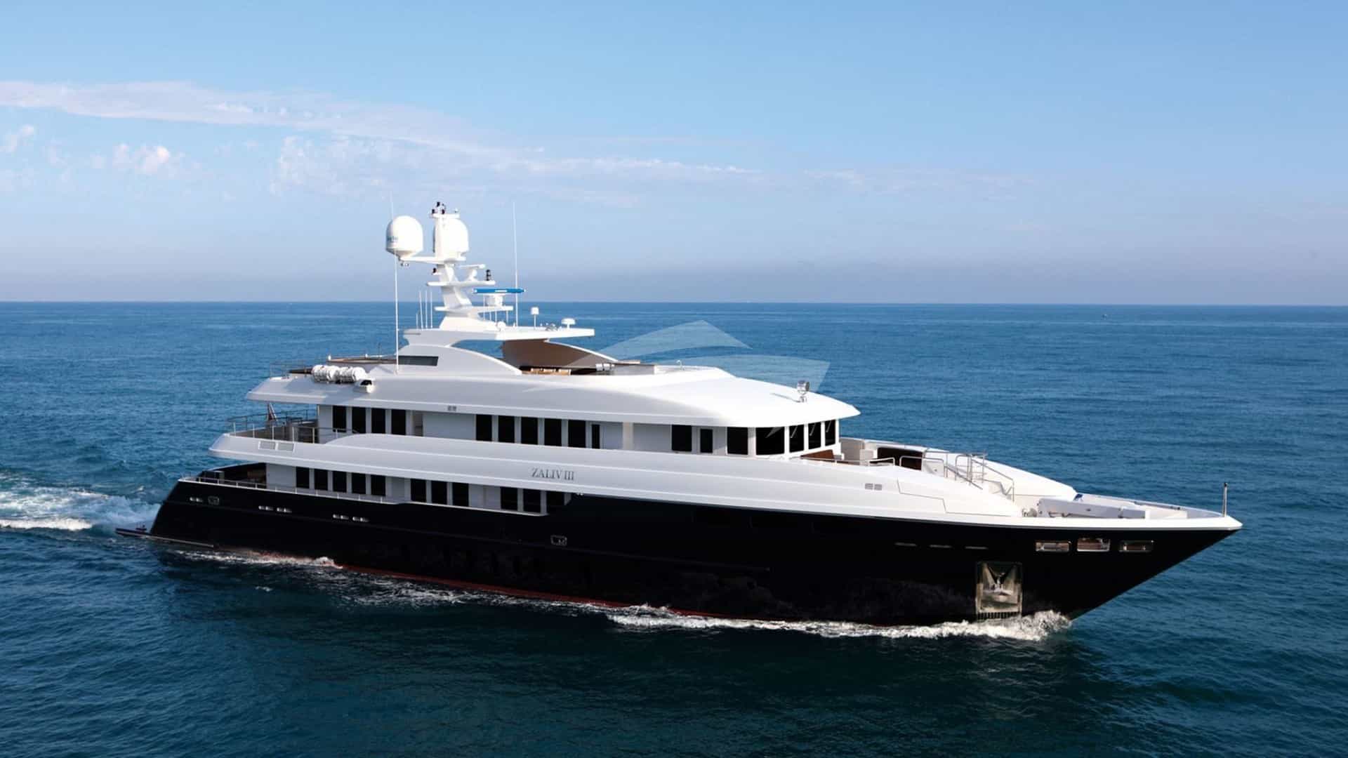
Positioned in the southern Dodecanese, just 23 nautical miles north-west of Rhodes and a mere 3.5 nautical miles from the Turkish peninsula of Datça, Symi is one of the most visually striking and logistically complex ports of call in the Aegean Sea. Rising sharply from the sea, the island’s mountainous limestone terrain creates dramatic deep-water bays, sheltered coves, and the famed amphitheatre harbour of Gialos. For captains and charter brokers arranging a Symi Yacht Charter yacht charter, navigating the island requires precise operational foresight.
Unlike modern purpose-built marina developments elsewhere in the Mediterranean, Symi relies predominantly on traditional stone quays, deep-water anchoring, and local logistics networks. Understanding the spatial constraints, wind patterns, depth gradients, and administrative requirements of Symi is essential for delivering an uncompromised luxury experience on board.
---
Gialos Harbour: Mastering Symi’s Principal Anchorage
Gialos is the primary port and cultural centre of Symi. Framed by nineteenth-century neo-classical merchant houses, the harbour offers exceptional aesthetic appeal alongside distinct nautical challenges. It operates as a working commercial and municipal port where luxury yachts, local fishing craft, passenger hydrofoils, and regional ferries compete for sea room.
       [ Outer Approach - Deep Water (50m+) ]
                       |
                       v
         +---------------------------+
         |     HARANI QUAY           |  <-- High-draft berths / Mega-yachts
         |  (Stern-to / Long Chain)  |
         +---------------------------+
                       |
                       v
         +---------------------------+
         |   ROLOI (CLOCK TOWER)     |  <-- Port Police / Customs / Tenders
         |  (Northern Breakwater)    |
         +---------------------------+
                       |
                       v
         +---------------------------+
         |    INNER GIALOS BASIN     |  <-- Stern-to (20-30m drop depth)
         |   (Town Quay / Promenade) |      High risk of crossed anchors
         +---------------------------+
Layout and Depth Profiles
The approach to Gialos is clear of isolated hazards, but the seabed drops away rapidly outside the harbour entrance. As you enter the inner basin, water depths remain surprisingly deep—ranging from 25 to 35 metres in the centre, sloping to between 3 and 7 metres directly against the stone quay edge.
Berthing in Gialos is almost exclusively stern-to or bow-to using the vessel's own anchor, as lazy lines are not provided on the main public quays. The inner harbour is divided into three main operational zones:
- Harani Quay (North-West Sector): Located near the harbour mouth, Harani offers deeper water along the quay edge (5 to 8 metres) and is suited to superyachts up to 50–60 metres in length. It provides easier departure angles and slightly better clearance from foot traffic.
- The Town Quay / Southern Promenade: The horseshoe curve of the inner port offers berths directly in front of the town's restaurants and shops. Depths here range from 2.5 to 5 metres, making it suitable for yachts up to 35 metres.
- The Roloi (Clock Tower) Mole: Located on the north-eastern point of the harbour entrance, near the historic clock tower. This area is reserved primarily for port authority vessels, small commercial craft, and temporary tender drop-offs, though larger yachts occasionally lay alongside the outer side of the mole under express direction from the Port Police.
Anchor Scope and Cross-Chain Dynamics
The defining operational hurdle when berthing in Gialos is the combination of steep depths and narrow harbour geometry. Captains must drop anchor in depths of 25 to 30 metres while holding a distance of no more than 70 to 90 metres from the quay.
To achieve sufficient holding on the silt, sand, and shale bottom, deck crew must lay out a minimum of 70 to 80 metres of chain. Because vessels drop anchor toward a central point in the basin, cross-anchoring is common during the peak summer months of July and August, when 20 or more yachts berth along the wall.
Cruising captains should deploy an anchor trip line with an orange marker buoy where permitted, or keep a crewed tender ready with a heavy-duty trip hook when weighing anchor. The deck team must be prepared to clear crossed chains from neighboring vessels during morning departures.
Wind Conditions and Structural Protection
Gialos is generally well-sheltered from the prevailing Aegean Meltemi, which blows from the north-west between late May and September. However, the high ridge line directly behind the town creates pronounced katabatic gusts that accelerate down the hillsides during late afternoon hours. These gusts hit yachts on their beam or bow with unexpected force, reaching 25 to 30 knots even when the open sea shows modest conditions.
When strong northerly or north-easterly winds develop, a uncomfortable swell can roll directly into the mouth of Gialos. Under these conditions, the inner town quay remains safe, but vessels berthing along the outer Harani quay may experience surge. Extending heavy roving fenders, setting spring lines, and keeping engines on standby is advisable during wind shifts.
---
Alternative Berthing and Outer Anchorages
When Gialos is fully occupied or when guests prefer privacy and open swimming waters, Symi offers several secondary bays and anchorages equipped to handle yachts of all displacements.
Pedi Bay
Located on the eastern side of the island, just 2 nautical miles south-east of Gialos by sea, Pedi Bay is a deep, sheltered inlet running west into a fertile valley.
- Protection: Excellent shelter from north-west, west, and south winds. Open only to rare eastern winds.
- Holding and Depths: The centre of Pedi Bay has depths of 12 to 20 metres over a seabed of sand and weed, offering reliable holding.
- Berthing Infrastructure: A small municipal jetty at the head of the bay provides berths for vessels under 18 metres with drafts under 2 metres. Superyachts over 40 metres anchor in the outer bay and run long stern lines to rock eyelets or heavy bollards installed along the northern shore.
- Logistics: Pedi is connected to Gialos by a short 5-minute road transfer, making it a convenient location for crew transfers and guest pick-ups via tender or vehicle.
Panormitis Bay
Situated on the south-west coast of Symi, Panormitis is a large, almost completely landlocked natural harbour world-renowned for its monastery dedicated to the Archangel Michael.
                  [ Entrance Channel (Width: ~150m, Depth: 10-14m) ]
                                          |
                                          v
      +------------------------------------------------------------------------+
      |                           PANORMITIS BAY                               |
      |                                                                        |
      |   [ West Anchorage ]             [ Centre Basin ]      [ Monastery ]   |
      |   Depth: 6-10m                   Depth: 12-18m         Small Quay      |
      |   Holding: Good Mud              Holding: Sand/Mud     (Tenders Only)  |
+------------------------------------------------------------------------+- Approach: The entrance channel is narrow (approximately 150 metres wide) with a depth of 10 to 14 metres. Navigation is straightforward in daylight.
- Holding and Protection: The entire bay offers exceptional protection from all wind directions, including strong Meltemi conditions. The seabed is soft mud and sand, providing optimal holding in 6 to 14 metres of water.
- Operational Notes: The concrete quay directly in front of the monastery is dedicated to passenger ferries and local excursion boats. Superyachts must drop anchor in the spacious bay and deploy tenders for guest shore trips. Generator noise should be kept to a minimum out of respect for the monastic complex.
Day Anchorages: St George Dysalonas and Marathounta
For day stops, swimming, and watersports, Symi’s cliff-lined coastline provides spectacular settings, though depth management requires strict attention.
- Agios Georgios Dysalonas: Situated on the east coast, this anchorage is defined by a sheer 300-metre vertical limestone cliff face. Water depths remain extreme right up to the coastline—often 40 metres deep within 50 metres of the rock face. Yachts must locate the narrow shelf of 15 to 25 metres, drop a single anchor, and take lines ashore to secure the stern. It is strictly a fair-weather day anchorage; staying overnight is not recommended due to nighttime katabatic wind shifts.
- Marathounta Bay: Located south of Pedi on the east coast, Marathounta offers clear waters and depths of 8 to 15 metres over sand and gravel. It provides good daytime protection from prevailing westerly winds, with line-of-sight views toward the Turkish coast.
---
Border Formalities, Port Authorities, and Regulations
Symi holds strategic importance as an official Greek Port of Entry and Exit. Given its close proximity to Turkey (the Datça Peninsula is less than 4 nautical miles east), it is a vital clearing-in point for yachts moving between non-EU Turkish waters and the EU/Schengen area.
Port of Entry Protocol
Yachts entering Greece from Turkey via Symi must proceed directly to Gialos Harbour before dropping guests at off-shore anchorages. The official clearance facilities are concentrated around the eastern side of Gialos harbour, near the historic Roloi Clock Tower.
1. Hellenic Coast Guard (Limenarcheio): The main Port Police office handles vessel registration, log updates, and crew/passenger manifests. 2. Customs House (Teloneio): Located adjacent to the Port Police, responsible for duty declarations, commercial charter documentation, and vessel entry permissions. 3. Passport Control / Immigration: Handles Schengen border processing for crew and guests arriving from non-Schengen territories.
Cruising captains should ensure that all original vessel registry certificates, insurance documents specifying Mediterranean coverage, safety equipment declarations, and professional crew licenses are organized prior to arrival.
Cruising Permits and Digital Formalities
To navigate legally in Greek waters, commercial and private yachts must satisfy specific administrative steps:
- e-TEPAI (Aegean Cruising Tax): The Greek recreational craft tax must be paid online prior to or immediately upon entering Greek territorial waters. The Port Police in Symi verify e-TEPAI payment receipts during document clearance. The cost is calculated based on the vessel’s overall length (LOA) and is charged per calendar month.
- Digital Port Register: Foreign-flagged commercial yachts operating under non-Greek charters must present a valid charter agreement, fiscal representation details within Greece, and passenger manifests verified by the Hellenic Coast Guard.
---
Bunkering, Utilities, and Provisions
Because Symi lacks dedicated superyacht marina complexes with high-volume fuel hydrants or heavy shore power infrastructure, all utility provisioning requires coordination with shore side agents and local suppliers.
Marine Fuel Bunkering
Fuel bunkering in Symi is conducted via road tankers dispatched onto the quay at Gialos or Harani.
- Fuel Quality and Delivery: High-grade automotive and marine diesel is trucked locally or ferried across from Rhodes. Delivery rates via mini-tanker typically top out at 100 to 150 litres per minute due to truck pump constraints.
- Planning Requirements: Bunkering for large fuel volumes (exceeding 5,000 litres) must be requested at least 24 to 48 hours in advance through a local port agent. Fuel trucks are permitted onto the main town quay only during early morning hours (06:00 to 08:30) before passenger ferry operations and pedestrian traffic intensify.
Water Supply Infrastructure
Water is a precious commodity on Symi. The island traditionally relied on water tankered from Rhodes, though modern desalination plants now supply the local municipal grid.
- Quay Connections: Water connections are situated along the main wall at Gialos and Harani. Flow rates can be variable, especially in mid-summer when municipal demand peaks.
- Operational Advice: Yachts should rely primarily on their own high-capacity watermakers while underway or anchored outside the port. Quay water should be used to top up tanks only after verifying pressure with the harbour master, and appropriate inline water filtration systems should be deployed.
Shore Power Availability
Shore power infrastructure on Symi's quays is limited. Pedestals at Gialos offer basic 32-Amp and selected 63-Amp single/three-phase connections. They are sufficient to run trickle chargers and basic service loads for small motor yachts and sailing vessels, but cannot support the heavy hotel loads or air conditioning units of modern superyachts (over 30 metres).
Captains must plan to run generators on board while stern-to in Gialos. However, out of courtesy to shore side venues and neighbouring vessels, exhaust scrubbers or silent night-generator operation should be used where possible.
Provisions and Luxury Catering Supply
While Symi offers exceptional local seafood—most notably the indigenous Symiako garidaki (tiny, sweet Symi shrimp consumed whole)—high-volume catering for luxury charters requires advance planning.
[ Rhodes International Airport (RHO) / Suppliers ]
                      |
                      v  (Express Freight / Fast Ferry: 50-60 mins)
          [ Symi Gialos Main Pier ]
                      |
                      v  (Refrigerated Shore Cart / Tender)
[ Onboard Provisioning Master ]- Local Produce: Fresh octopus, Mediterranean sea bass, local herbs, goat cheese, and bakery products are readily sourced from markets around Gialos and Horio (the upper town).
- Specialty Items: Premium imported meats, fine wines, vintage champagne, and specialized dietary items are typically sourced through supply agents in Rhodes or Athens. Goods are shipped to Symi via daily high-speed catamarans or private chase boats and transferred directly to the yacht's tender or shore team at the Harani quay.
---
Transfers, Infrastructure, and Crew Logistics
Seamless guest transitions and sound crew operational practices are vital when managing a Symi Yacht Charter yacht charter. The island's terrain and lack of an airport require a well-structured logistical chain.
Gateway Airports and Transfer Routes
Symi has no airport due to its steep topography. Guest arrivals and departures are routed via neighbouring islands:
- Rhodes International Airport (RHO - Diagoras): The primary hub for Symi charters. RHO accommodates private aviation, major international carriers, and regional connections.
- Road to Port Transfer: 25 to 30 minutes from RHO to Mandraki Harbour or Rhodes New Port.
- Maritime Crossing: Guests can join the yacht in Rhodes for a 23-nautical-mile cruise to Symi (approx. 1 to 1.5 hours at cruising speed). Alternatively, high-speed passenger hydrofoils run from Rhodes to Symi in approximately 50 minutes, or private express chase boats can be chartered for direct transfers to Gialos or Pedi.
- Kos International Airport (KGS): An alternative gateway, situated 40 nautical miles north-west of Symi. Transfers from Kos require a longer open-water run down the Dodecanese chain.
Crew Operational Strategy and Shore Operations
To maintain smooth operations in Symi’s tight environments, crew should keep several logistical details in mind:
- Tender Operations: Tenders must be driven at slow speeds (5-knot limit) within Gialos and Pedi harbours. The central tender dock near the Roloi Clock Tower offers a convenient drop-off point for guests visiting town, but tenders must not be left unattended for extended periods to avoid blocking local taxi boats.
- Waste Management: Municipal waste collection bins are situated at Harani quay and near the harbour office. Garbage disposal should be conducted during early morning hours. Blackwater and greywater discharge is strictly prohibited within all bays and coastal waters of Symi; yachts must use internal holding tanks and pump out at designated offshore distances (minimum 3 nautical miles from land for untreated greywater/sewage as per MARPOL and Hellenic Coast Guard enforcement).
- Deck Maintenance: External washing with fresh water should be coordinated during off-peak times. Minimise runoff into the harbour basin to comply with local environmental rules.
---
Essential Logistical Reference
To assist captains and charter management teams in planning, the core technical specifications and contact details for Symi's maritime operations are summarized below:
- Coordinates (Gialos): 36° 36.9' N, 027° 50.2' E
- VHF Channels: Channel 12 (Symi Port Police / Limenarcheio); Channel 16 (International Distress / Safety)
- Maximum Draft (Gialos Quay): 5.0 metres along Harani Quay; 2.5–3.5 metres inner harbour promenade
- Maximum LOA (Gialos Harbour): Up to 60 metres stern-to at Harani quay; larger vessels (60m+) must anchor off Gialos or in Pedi Bay
- Primary Winds: Summer Meltemi (NW to NNW, Force 4 to 7); katabatic gusts in Gialos basin during late afternoon
- Official Entry Status: Yes – Greek / Schengen Port of Entry & Exit (Passport Control, Customs, Port Police present)
- Distance to Key Ports: Rhodes (Mandraki): 23 NM; Datça (Turkey): 5 NM; Kos Town: 41 NM; Nisros: 31 NM
Navigating Symi requires balancing local seamanship with meticulous advance planning. By understanding the specifics of anchor scope in Gialos, securing border documentation early, and setting up reliable supply lines from Rhodes, captains and brokers can deliver a seamless luxury charter experience through one of the Mediterranean's most spectacular island settings.