
Spanning more than 40,000 square kilometres of the Coral Triangle off West Papua, the archipelago of Raja Ampat—comprising the four main islands of Waigeo, Batanta, Salawati, and Misool, alongside over 1,500 smaller cays—represents one of the most hydrographically complex cruising grounds on Earth. For captains and charterers alike, navigating these waters requires a clear understanding of localized weather patterns, powerful tidal streams, and vast distances between secure anchorages.
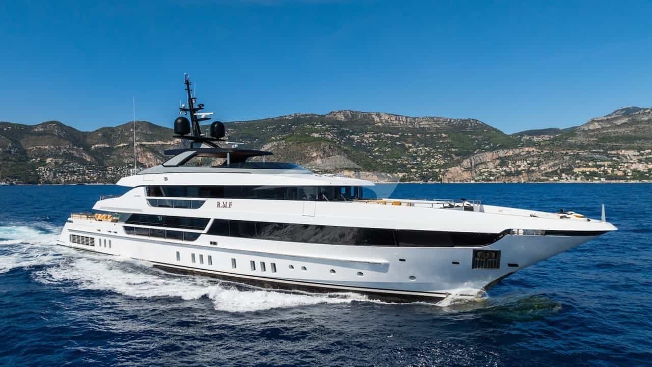
While conventional pleasure craft are constrained by fuel range and shallow drafts, an vessel configured for an Explorer Yacht Charter Raja Ampat yacht charter excels here. High displacement hulls, extensive fuel and water storage, long-range tenders, and advanced dynamic positioning systems allow yachts to operate independently across both the northern equatorial cays and the southern karst labyrinths of Misool without relying on nonexistent shore infrastructure.
Geography and Maritime Zones
The cruising ground is broadly divided into three distinct sectors: Northern Raja Ampat (including Waigeo, Kawe, Wayag, and Alyui Bay), the Central Corridors (comprising the Dampier Strait, Gam, Mansuar, Batanta, and the Fam/Penemu group), and Southern Raja Ampat (dominated by the Misool island group and its outlying reef systems).
The northern sector straddles the equator, where the Pacific Ocean meets the Halmahera Sea. Sea floor depths drop rapidly from coral shelves of 5 metres down to oceanic trenches exceeding 800 metres. Central Raja Ampat is dominated by the Dampier Strait, a high-volume marine bottleneck between the south coast of Waigeo and the north coast of Batanta. Southern Raja Ampat lies roughly 110 nautical miles south across the open expanse of the Ceram Sea, characterized by intricate limestone karst formations, submerged marine lakes, and vast barrier reefs.
Prevailing Winds, Seasons, and Sea State
Navigating Raja Ampat depends heavily on the monsoonal cycles of the Indo-Pacific. The region does not experience a standard four-season climate; instead, it is dictated by the Northwest and Southeast Monsoons, separated by two calm, inter-monsoonal transition periods.
The Northwest Monsoon (December to March)
During the Northwest Monsoon, prevailing winds blow from the west-northwest at 10 to 18 knots, occasionally gusting up to 25 knots during localized squalls (squalls locally known as squalls or angin barat). This season brings periodic rain showers to Northern Waigeo, but the sea state in the protected leeward pockets of Central and Northern Raja Ampat remains manageable, with wave heights generally under 1.2 metres. The Northwest Monsoon is widely considered the premier window for cruising Northern Waigeo, Wayag, Alyui Bay, and the Dampier Strait. Misool is accessible during this period, though southern lee shores require careful monitoring for northern ocean swells wrapping around the archipelago.
The Inter-Monsoonal Transition (October to November and April to May)
These transition periods offer the most benign operational conditions of the year. Winds are light and variable, often dropping below 5 knots for days at a time. The sea surface across both the Pacific access channels and the Ceram Sea becomes exceptionally calm. Water clarity reaches its peak, often exceeding 30 metres of vertical visibility. These months provide an ideal weather window for long open-water transits, specifically the 100-plus nautical mile run between the Dampier Strait and Misool.
The Southeast Monsoon (June to September)
From June through September, the Southeast Monsoon pushes strong, continuous winds from the south-southeast across the Ceram Sea at 15 to 25 knots. This creates sustained 2.0 to 3.5 metre swells that impact the southern exposures of Misool, Batanta, and Salawati. Many remote anchorages in Misool become unsheltered during these months, and the open-water transit across the Ceram Sea can be uncomfortable. Consequently, most luxury explorer yachts shift their operations away from Raja Ampat toward the Komodo National Park or the Banda Sea during this period.
Navigational Hazards and Hydrography
Cruising Raja Ampat requires vigilant visual pilotage and conservative navigational safety margins. Official electronic vector charts (ENCs) and commercial plotting software frequently exhibit offset errors of up to 0.5 nautical miles throughout Waigeo and Misool. Submerged coral heads (bommies) rise vertically from depths of 40 metres to within 1 metre of the surface, often unrepresented on navigational charts.
- Tidal Currents: The Dampier Strait experiences extreme tidal flows driven by the exchange of water between the Pacific and Indian Oceans. Currents through the narrowest passages routinely exceed 5 to 6 knots during spring tides. Standing waves and violent whirlpools form off the eastern headlands of Mansuar and Kri, as well as within the Sagewin Strait between Salawati and Batanta.
- Uncharted Reefs and Inadequate Aids to Navigation: Lighthouses, lateral marks, and cardinal buoys are virtually non-existent outside the commercial approach channels to Sorong. Navigation at night outside deep oceanic corridors is strongly discouraged. Captains must execute all movements through island clusters during daylight hours, ideally between 09:00 and 15:00 when the sun is overhead, allowing a watchkeeper on the flying bridge or bow to spot hydrographic hazards visually.
- Tidal Range Considerations: Spring tidal ranges reach up to 2.5 metres. In shallow lagoon systems such as Wayag and the inner bay of Gam, tender operations and shallow-draft yacht anchorages must factor in the falling tide to prevent grounding on living reef flats.
Key Natural Anchorages and Shelter Profiles
Finding secure holding ground in Raja Ampat can be challenging due to the steep underwater topography. Islands frequently drop straight into deep water, offering limited sand shelves for traditional anchor dropping. Captains rely heavily on deep, landlocked bays, high limestone walls for stern-tying, or dynamic positioning over deep water.
### Wayag Lagoon and Pelikan Inlet (North Waigeo) Located at 00°09′N, 130°02′E, the Wayag atoll is a protected lagoon surrounded by hundreds of calcified karst islands.
- Shelter: Complete 360-degree protection from all sea states. Pelikan Inlet, tucked into the western arm of the main lagoon, offers complete isolation from wind and swell.
- Holding and Depth: The inner lagoons feature a bottom of fine coral sand and mud at depths of 20 to 35 metres. The entry channels are narrow and require visual pilotage to avoid shallow reef edges, but once inside, holding is excellent.
### Alyui Bay (West Waigeo) Alyui Bay is a deep, fjord-like indentation penetrating 14 nautical miles into the western landmass of Waigeo.
- Shelter: Exceptional shelter from all wind vectors and ocean swells. Even during heavy monsoon squalls, the inner reaches of the bay remain calm.
- Holding and Depth: Depths in the outer bay range from 40 to 60 metres, dropping to 15 to 25 metres in the inner coves off the Cendana Pearl Farm. Bottom substrate is sticky mud, providing superb holding. High rock walls also allow yachts to deploy a stern line to shore if necessary.
### Yangeffo and Gam Bay (Central Sector) Situated between western Gam and the island of Yangeffo, this channel serves as an essential staging ground before crossing the equator north or heading west to Penemu.
- Shelter: Protected from both north-westerly and south-easterly seas by the high ridges of Gam and Yangeffo.
- Holding and Depth: Anchorage is found in 22 to 30 metres over sand and broken coral along the mangrove margins. The current runs through the central channel at 1.5 to 2.5 knots, requiring a generous scope of chain.
### Wayilbatan and Tomolol (Misool) In Southern Raja Ampat, the Wayilbatan group provides a natural harbor surrounded by steep limestone cliffs.
- Shelter: Highly sheltered against north-westerly winds; moderately sheltered during the southeast monsoon, provided the yacht is positioned in the northern lee of the islands.
- Holding and Depth: Depths vary dramatically from 18 metres in the inner pockets to over 50 metres in the outer channels. The seabed consists of sand pockets interspersed with coral rock.
Day-Hop Distances and Regional Routing
Planning an itinerary for an Explorer Yacht Charter Raja Ampat yacht charter requires balancing short scenic hops between island clusters with long, overnight open-water passages. Below are the precise nautical mile distances between key operational hubs:
- Sorong (Port of Origin) to Dampier Strait (Kri / Mansuar): 42 nautical miles. Transit takes approximately 3.5 to 4 hours at a 12-knot cruise, heading northwest across the Sele Strait.
- Mansuar to Gam (Yangeffo Anchorage): 16 nautical miles. A short daylight hop heading northwest through calm, protected waters.
- Gam / Yangeffo to Penemu (Fam Islands): 28 nautical miles. Westward transit across open sound, vulnerable to moderate beam seas during the peak Northwest Monsoon.
- Penemu to Kawe Island: 38 nautical miles. Heading north across the Equator. Open sea state with potential Pacific swells.
- Kawe to Wayag Atoll: 32 nautical miles. North-northwest passage through deep ocean water, approaching the outer barrier reef from the south.
- Wayag to Alyui Bay (Waigeo): 44 nautical miles. Heading southeast, entering the protected mouth of Alyui Bay.
- Central Raja Ampat (Mansuar) to Southern Raja Ampat (Misool / Balbulol): 108 nautical miles. A direct south-southwest open-water transit across the Ceram Sea. Typically executed as an overnight passage by large explorer yachts cruising at 10 to 12 knots.
Master Captain’s Operational Plan: 7 to 10-Day Execution
Executing a successful itinerary in Raja Ampat requires a captain to balance tides, local park regulations, guest activities, and fuel consumption. Below is an operational breakdown showing how a captain plans a comprehensive 8-day route from Sorong through the Central, Northern, and Southern sectors.
### Day 1: Embarkation in Sorong and Transit to Mansuar Guests board at the harbor of Sorong (accessible via Dominique Eduard Osok Airport). After safety briefings and clearance from the Port Authority (Harbourmaster), the yacht clears the harbor by 11:00. The vessel clears the mainland shelf, steering 310 degrees across the Sele Strait toward the Dampier Strait. Anchor is dropped by 15:30 off the eastern spit of Mansuar in 25 metres of water over sand. Late afternoon tender operations focus on dive sites like Cape Kri, monitoring the incoming tide.
### Day 2: Dampier Strait to Gam and The Passage At 06:00, the yacht weighs anchor to catch the slacking flood tide through the Dampier Strait. The vessel moves 12 nautical miles north into Kabui Bay. Cruising through The Passage—a narrow, river-like marine canyon separating Waigeo from Gam—requires precise timing. The captain navigates the 60-metre-wide gap strictly at slack water to avoid the 6-knot current. Tenders are deployed to explore the limestone karst structures of Kabui Bay before the yacht anchors for the night off Yangeffo.
### Day 3: Gam to Penemu (Fam Islands) A morning transit of 28 nautical miles west brings the yacht to Penemu Island. The passage crosses open water, where the vessel’s stabilizers manage any rolling from Pacific swells. By mid-morning, the yacht uses its dynamic positioning system off Melissa’s Garden, a famous shallow reef plateau. In the afternoon, the yacht moves into the landlocked lagoon of Star Lagoon, securing with a stern-tie to the limestone cliffs in 20 metres of water.
### Day 4: Penemu to Wayag (Crossing the Equator) This leg represents the longest daylight transit of the northern loop: 68 nautical miles from Penemu north to Wayag. The captain brings the engines to a 13-knot cruise at 05:30. The route crosses the Equator at 00°00′, marked by a traditional ceremony on board. Passing Kawe Island to starboard, the yacht enters the southern channel of Wayag Atoll by 11:30 under clear overhead light. Anchor is set in 28 metres of white sand inside Pelikan Inlet.
### Day 5: Wayag Atoll Exploration The yacht remains stationary in Wayag, serving as a self-contained base station. Tenders, kayaks, and dive boats are deployed across the lagoon system. The vessel’s high-capacity watermakers and generators run efficiently in the calm waters of the inlet. Tenders navigate the shallow outer reefs during high tide to reach Mount Pindito for panoramic views across the island network.
### Day 6: Wayag to Alyui Bay The yacht executes a 44 nautical mile passage south-southeast to Alyui Bay on Waigeo’s west coast. Arriving by noon, the vessel proceeds deep into the fjord system, far out of reach of any swell. The captain anchors off the Cendana Pearl Farm in 22 metres of sticky mud. Guests explore the inner marine inlets by tender, visiting ancient rock art sites and diving the macro-rich jetties under the direction of the local guides.
### Day 7: Strategic Overnight Transit to Misool To incorporate Southern Raja Ampat without losing daytime charter hours, the captain executes an overnight transit across the Ceram Sea. The yacht weighs anchor from Alyui Bay at 16:00, clearing the western headlands of Waigeo before dusk. Steering a course of 195 degrees, the vessel covers the 112 nautical miles to Misool at a steady 11 knots. The high freeboard and heavy displacement of an explorer yacht ensure a comfortable night passage through open water.
### Day 8: Misool Archipelagos and Return Routing At 06:30, guests awake to the high limestone towers of Balbulol and Wayilbatan in Southern Misool. The yacht anchors in the lee of Lenkafal Island in 20 metres over sand. The final day is spent exploring the Tomolol sea caves and the inner blue lagoons of Fiabacet. At 20:00, the yacht begins its final 90 nautical mile overnight transit back to the Port of Sorong, arriving at first light on Day 9 for smooth guest disembarkation and logistics wrap-up.
Logistics, Permits, and Remote Operations
Cruising sustainably through Raja Ampat requires strict adherence to environmental regulations and local community protocols. The entire region is designated as a Network of Marine Protected Areas (MPAs), managed jointly by the regional government and local traditional councils (Sasi).
- Environmental Permits and Fees: Every vessel and guest entering the region must hold a valid Environmental Maintenance Fee (EMF) permit and entry tag issued by the Raja Ampat MPA Management Authority. Captains must ensure these permits are secured well in advance through local port agents in Sorong.
- Customs and Harbour Clearance: Sorong remains the mandatory port of entry and exit for all international yachts. Cruising clearances (SPB - Surat Persetujuan Berlayar) must be filed with the Sorong Harbourmaster before departing toward the islands.
- Provisions and Fueling: Sorong has basic marine diesel fuelling facilities via barge, but fuel quality must be verified and filtered through onboard centrifuge systems. Fresh produce in Sorong markets is imported mainly from Makassar or Jayapura; high-end culinary requirements, specialty meats, and wines must be air-freighted directly into Sorong via Jakarta or Bali prior to departure.
An Explorer Yacht Charter Raja Ampat yacht charter offers access to a remote region of world-class natural significance. Navigating this vast archipelago demands operational diligence, sound seamanship, and respect for the delicate balance between maritime logistics and environmental preservation.