
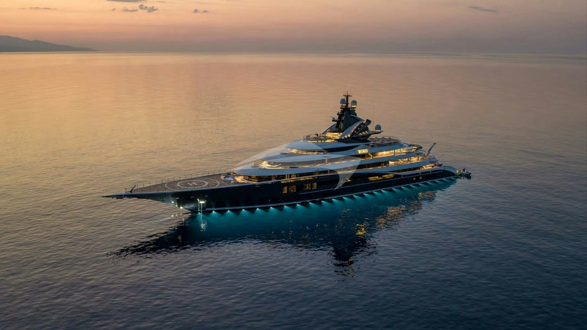
Hvar Island sits at the epicenter of Central Dalmatia's maritime topography, stretched like a narrow, 37-nautical-mile spine between the Hvar Channel to the north and the Vis Channel to the south. For discerning charterers, executing a Family Yacht Charter Hvar yacht charter offers an unparalleled balance between deep-water cruising, protected archipelago island-hopping, and rich shore-side heritage. Extending southwest from the town of Hvar lies the Pakleni Archipelago (Paklinski Otoci), a limestone chain of twenty islets and rocks that creates a natural breakwater and an intricate labyrinth of turquoise coves.
Navigating these waters requires an understanding of micro-climates, local passage hazards, seabed holding conditions, and seasonal wind cycles. Whether operating a high-volume displacement motor yacht, a performance sailing yacht, or a wide-beam catamarans, a successful charter hinges on how a captain leverages the geographical orientation of the island to deliver seamless, comfortable, and safe family cruising.
Nautical Geography and Hydrography of the Hvar Sound
The cruising grounds surrounding Hvar are defined by three primary marine passages, each presenting distinct sea states and operational conditions. To the north, the Hvar Channel (Hvarski Kanal) separates the northern coast of Hvar from the southern shores of Brač Island. This channel varies in width from two to four nautical miles and experiences funnelled thermal winds during summer afternoons. The seabed here drops quickly to depths between 60 and 80 metres, offering clean, unobstructed water for open-sail passages or fast motor-transits.
To the south lies the Vis Channel (Viški Kanal), stretching between Hvar's southern cliffs and the offshore islands of Vis and Biševo. Exposed to the open Southern Adriatic, this sound accumulates longer ocean swells when south-easterly weather systems move up the Mediterranean basin. The coastline along this southern shore is dramatic, characterised by sheer limestone cliffs, underwater caverns, and deep, exposed coves such as Lučišće and Dubovica.
At the western tip of the island, Cape Pelegrin (Rt Pelegrin) forms the key operational headland. Rounding Pelegrin marks the transition between the sheltered waters of the north and the exposed sound to the south. Immediately south-east of Pelegrin lie the Pakleni Islands, separated from Hvar Town by the Pakleni Channel (Pakleni Kanal). This passage is heavily trafficked during peak season, with depth soundings ranging from 15 to 40 metres, interspersed with shallow reefs and narrow channels requiring precise navigation when transferring families by tender or bringing larger vessels to anchor.
Seasonal Meteorology: Winds, Thermal Swells, and Sea States
Understanding local weather dynamics is crucial when planning daily itineraries for family groups, where minimising rolling motion at anchor and avoiding heavy seas during transits are paramount.
### The Spring and Early Season (May to June) May and June bring mild conditions, with ambient air temperatures ranging from 20°C to 26°C and sea temperatures climbing from 18°C to 22°C. During this period, synoptic wind patterns dominate over local thermals. High-pressure systems yield calm morning seas, ideal for long passages between Split and Hvar. However, late-spring depressions can bring the Jugo, a humid, south-easterly wind that builds over several days, generating a heavy, rolling swell in the Vis Channel and rendering south-facing anchorages unusable.
### Peak Summer (July to August) July and August offer the most predictable weather, characterised by stable high-pressure systems and the reliable development of the Maestral. The Maestral is a thermal sea breeze caused by the temperature differential between the warming landmass and the cooler sea. It typically begins around 10:00 as a gentle north-westerly of 8 to 12 knots, peaking between 14:00 and 16:30 at 16 to 22 knots, before dying away completely by sunset.
The Maestral provides magnificent afternoon sailing conditions for families aboard catamarans and monohulls. However, it creates a moderate chop in the exposed western reaches of the Pakleni Islands and along the north coast. During peak summer, water temperatures range between 24°C and 27°C, making conditions ideal for extended swimming, paddleboarding, and watersports.
Two localized wind phenomena require vigilance during summer: The Bura:* A cold, dry, catabatic wind blowing from the north-east off the coastal Dinaric Alps (specifically the Mosor and Biokovo ranges). While less frequent in mid-summer, a summer Bura can strike with little warning, producing violent, localized gusts exceeding 35 knots that descend through the channels. It creates sharp, short-frequency chop and requires immediate relocation to south-facing or deeply indented northern coves like Stari Grad Bay. The Garbinada (Lebić):* A sharp, short-lived south-westerly squall that often follows a period of Jugo. It strikes the exposed western and southern anchorages of the Pakleni Islands with high winds and violent cross-swells, making secure holding and double-bridled anchoring essential.
### Autumn Cruising (September to October) September brings lower humidity, sea temperatures hovering around 23°C, and reduced marine traffic. The thermal Maestral becomes less intense, yielding to light variable morning breezes. October introduces early autumnal fronts, with higher chances of extended Jugo cycles, requiring flexible charter routing focused on the protected fjords of Hvar's northern coast.
Navigational Hazards and Local Knowledge
While the waters around Hvar are generally deep and clear, several specific hazards demand the attention of the bridge team and captain:
- Mali Ždrilac Passage: Located between the islands of Plančić and Marinkovac in the Pakleni chain. This passage is extremely narrow with depth soundings dropping to less than 2 metres in places. It is strictly navigable only by small tenders and shallow-draught craft. Under no circumstances should motor yachts or deep-keeled sailing vessels attempt passage.
- Veliki Ždrilac: Situated between Marinkovac and Sveti Klement. While wider and deeper (around 6 to 8 metres), it experiences strong tidal currents running up to 2.5 knots during spring tides, compounded by dense jet-ski and tender traffic in July and August.
- Pokonji Dol Light and Shoals: Pokonji Dol islet marks the eastern approach to Hvar Town. A shallow reef extends off its northern spur, requiring vessels rounding the light to give it a berth of at least two cable-lengths.
- Galešnik Islet: Positioned directly at the entrance of Hvar Town harbour. The channel between Galešnik and the Hvar waterfront is restricted, and commercial catamarans (ferries) enter and depart at high speeds. Yacht captains must maintain radio watch on VHF Channel 09/16 and avoid hovering in the fairways.
- Posidonia Oceanica Protection Zones: Mooring restrictions are strictly enforced across the Pakleni Islands to protect endemic seagrass beds. Dropping anchor in designated Posidonia conservation areas is illegal, and local maritime authorities actively patrol these zones. Buoy fields must be utilised where available.
Key Anchorages, Bays, and Micro-Climates
Selecting the correct anchorage requires matching the vessel’s draught and stability systems with the prevailing swell direction and wind forecast.
### Palmižana (Vinogradišće Bay) — Sveti Klement Located on the southern coast of Sveti Klement island, Vinogradišće is the quintessential Pakleni anchorage. Indented deep into the pine-covered hillside, it features a seabed of fine sand and mud, offering superb holding in depths between 5 and 15 metres. Shelter:* Excellent protection from N, NW, and NE winds. Extremely vulnerable to the S and SE (Jugo), which drives a heavy swell directly into the bay. Family Suitability:* Outstanding. The inner bay is restricted to swimmer-only zones, providing a safe environment for children. A short forest trail leads over the spine of the island to ACI Marina Palmižana on the northern side.
### Taršće Bay — Sveti Klement Positioned west of Vinogradišće, Taršće is a wilder, deeper bay divided into two inner arms. It offers pristine, clear turquoise water over a sand and posidonia seabed with depths of 8 to 18 metres. Shelter:* Exceptional protection from the Maestral (NW) and northern quadrant winds. Open to the south. Family Suitability:* Ideal for quiet day-anchoring, stern-to line mooring to the pine trees on the rocks, underwater diving, and inflatables setup.
### Stari Grad Bay (Kabal Peninsula) Extending six nautical miles into the north-western coast of Hvar, Stari Grad Bay is a deep natural fjord terminating at the ancient town of Stari Grad (Pharos). The northern shore of the bay is carved into numerous deep coves, collectively known as Tiha Bay (including coves such as Stari Grad, Luka, and Graciscje). Shelter:* Near-total protection from all wind vectors. Even during a strong summer Bura or Jugo, the inner arms of Tiha Bay remain calm. Family Suitability:* Perfect overnight anchorage for families seeking complete calm and uninterrupted sleep. Concession-operated mooring buoys are well-maintained throughout summer.
### Šćedro Island (Lovišće & Mostir Bays) Located 1.5 nautical miles off the south coast of Hvar, the nature-reserve island of Šćedro provides two exceptional northern anchorages: Lovišće and Mostir. Lovišće divides into four distinct fingers, offering deep indents with sand-and-shingle bottoms in 6 to 12 metres of water. Shelter:* Superb shelter from S, SE, and SW winds. Moderate vulnerability to a strong NNE Bura, though the inner coves provide good lee. Family Suitability: Unspoiled, serene environment. Exceptional shore-side family dining at simple, family-run taverns (konobas) serving locally caught dentex and octopus cooked under the iron bell (peka*).
### Lučišće and Dubovica Coves — Hvar South Coast Carved into the towering red limestone cliffs of Hvar's south coast, these open bays feature bright white pebble beaches and crystal-clear water with underwater depths dropping from 5 to 25 metres close to the rock faces. Shelter:* Day-anchorage only during stable, light morning conditions or gentle thermal breezes. Completely exposed to any southern swell or Jugo. Family Suitability:* Spectacular spots for afternoon sea-bobbing, cliff diving for teenagers, and swimming into sea caves.
Day-Hop Distances and Cruising Logistics
Planning a seamless charter involves keeping daily transit times manageable—typically between 1 and 2.5 hours—allowing families ample time to enjoy watersports, tender excursions, and shore excursions without fatigue.
Here are key port-to-port and bay-to-bay nautical mile distances around Hvar:
- Split (ACI Marina) to Hvar Town: 23.5 NM
- Hvar Town to Palmižana (Vinogradišće Bay): 2.4 NM
- Palmižana to Cape Pelegrin: 4.2 NM
- Cape Pelegrin to Stari Grad (Inner Harbour): 11.5 NM
- Stari Grad Port to Vrboska (via Hvar Channel): 10.8 NM
- Hvar Town to Lučišće Cove (South Coast): 6.8 NM
- Lučišće Cove to Šćedro Island (Lovišće Bay): 8.5 NM
- Šćedro Island to Korčula Old Town: 17.2 NM
- Palmižana to Vis Town (Vis Island): 18.1 NM
- Hvar Town to Bol (Zlatni Rat, Brač Island): 14.2 NM
How a Professional Captain Plans a Seven-Day Family Itinerary
A seasoned captain structuring a week-long itinerary around Hvar evaluates three factors: the age profile of the family, the vessel's stabiliser equipment (zero-speed vs. underway), and the 72-hour meteorological trend. The objective is to pair high-energy island experiences with quiet, protected night anchorages.
       [ Split / Trogir ]
               |
               v (23.5 NM)
      [ Cape Pelegrin ]
         /          \
        /            \
  (North Coast)    (South Coast)
      |                |
  [ Stari Grad ]   [ Pakleni Archipelago ]
      |                |
  [ Vrboska ]      [ Lučišće / Dubovica ]
      |                |
      +-----> [ Šćedro ] <----+
                 |
                 v (17.2 NM)
            [ Korčula ]
### Days 1–2: Embarkation, Archipelago Orientation, and Hvar Town After embarking in Split or Trogir, the yacht executes a 2-hour transit across the Brač Channel, rounding Cape Pelegrin to enter the Pakleni Islands by mid-afternoon. The captain drops anchor in Taršće Bay for an initial swim stop, allowing the crew to set up the slide, sea-bobs, and paddleboards in calm, protected waters.
As the afternoon Maestral eases at 18:00, the yacht makes the short 2.5 NM passage across the sound to Hvar Town. Port berths along the main waterfront (Riva) are limited and exposed to the swell of passing ferries; thus, larger yachts either pre-book stern-to berths at the custom quay, take a secure mooring buoy off Galešnik, or anchor off Jerolim Island and utilise the vessel's high-speed tender for shore transfers.
Families head ashore to explore the 16th-century Spanish Fortress (Tvrdjava Fortica) overlooking the sound, followed by dinner in the historic pedestrian alleyways, sampling gregada—a traditional Hvar fisherman’s stew of white fish, potatoes, olive oil, and white wine.
### Days 3–4: The South Coast and Remote Nature Reserves Leaving Hvar Town early, the captain heads east along the southern coast of the island. By 10:30, the vessel anchors off the dramatic white-pebble beach of Dubovica or the sheer cliffs of Lučišće. Here, deep water close to the cliffs allows the yacht to run long stern lines to shore pins, keeping the vessel aligned with the gentle morning sea breeze.
By 13:00, before the afternoon Maestral picks up across the Vis Channel, the yacht raises anchor and executes an 8.5 NM hop south-east to Šćedro Island. The captain secures a mooring buoy in the sheltered arm of Lovišće Bay. The afternoon is spent enjoying watersports in glass-calm water, followed by an informal shore-side dinner at a rustic local tavern where ingredients are sourced directly from the island’s organic gardens and local fishing craft.
### Days 5–6: Rounding Pelegrin to the North Coast Fjords Leaving Šćedro, the yacht transits north-west, rounding Cape Pelegrin to enter the protected north-coast waters of Hvar. The captain navigates into Stari Grad Bay, anchoring in one of Tiha Bay’s quiet coves for lunch and extended watersports.
In the late afternoon, the yacht cruises into the deep channel of Stari Grad port, mooring stern-to along the newly expanded town quay equipped with power and fresh water connections. Stari Grad offers a serene contrast to Hvar Town: a UNESCO World Heritage landscape (the Stari Grad Plain), ancient stone houses, and bicycle tours through lavender fields and vineyards producing native Bogdanuša white wine.
Alternatively, if wind conditions allow, the yacht proceeds east to Vrboska, a deeply indented narrow fjord often called "Little Venice" due to its stone bridges. The narrow channel requires careful handling, but provides absolute shelter and direct access to quiet, authentic inland Dalmatian culture.
### Day 7: Final Anchorage and Return Transit On the final full day, the yacht moves out of the north-coast channels back toward the eastern side of Brač or the Pakleni chain. A final afternoon is spent anchored off Soline or Okorija Bay on Sveti Klement island, enjoying a final Mediterranean lunch on the flybridge while children use the water toys.
As the sun sets, the vessel begins its smooth evening transit back toward Split, arriving in port by 19:00 for the final night on board. By aligning daily movements with wind patterns, maintaining safe distances from local hazards, and utilising Hvar's natural geography, the captain delivers a balanced, luxurious, and unhurried family charter experience across Central Dalmatia.