
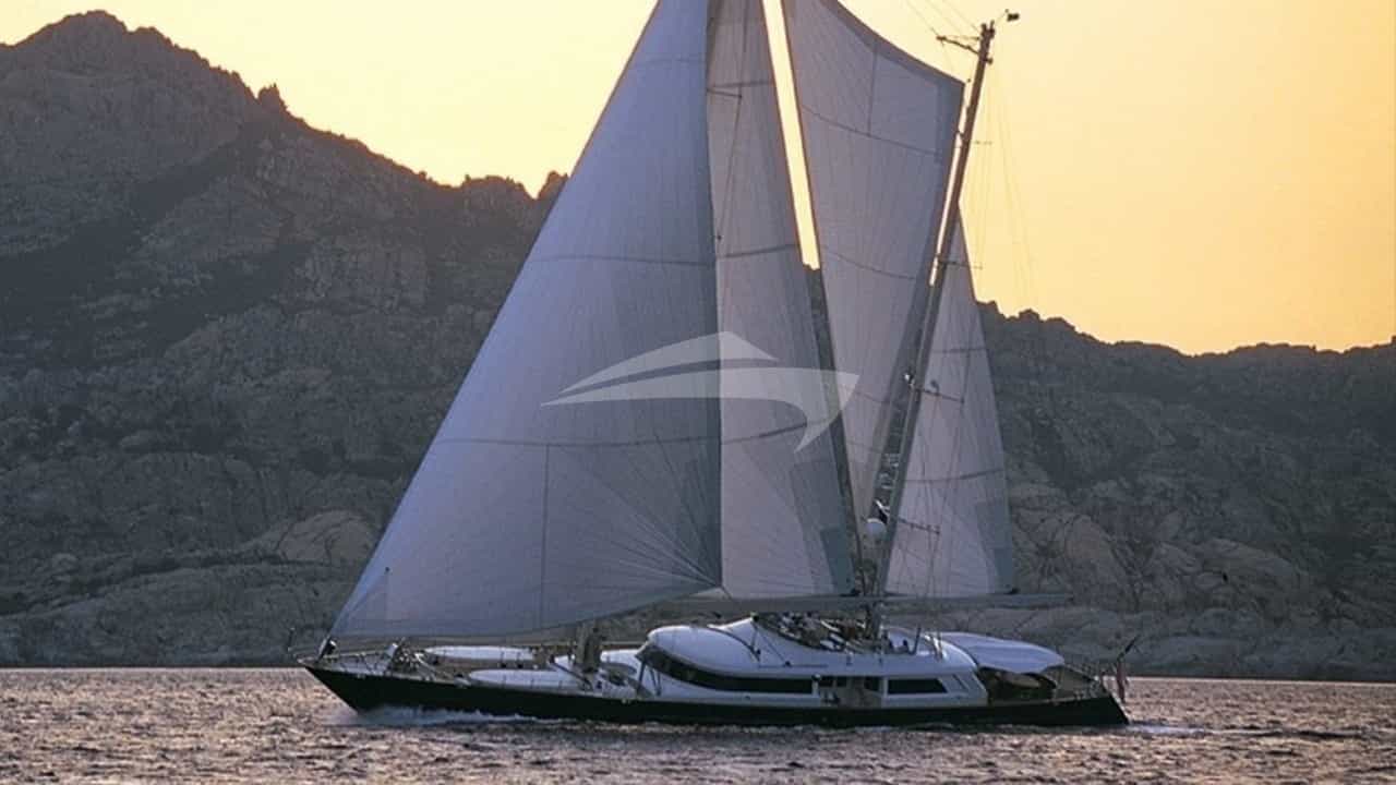
The Kingdom of Bahrain presents a unique cruising landscape within the Arabian Gulf. Positioned at the heart of the central Gulf, this archipelago of over thirty islands combines deep-rooted maritime heritage with hyper-modern infrastructure. Long before oil transformed the region, these waters were the epicentre of the world’s luxury pearl trade, navigated by traditional wooden dhows reliant on an intimate knowledge of shoals, tides, and seasonal winds. Today, the capital city of Manama serves as the primary gateway for private superyacht operations in the area, offering state-of-the-art marina developments set against a backdrop of striking modern architecture.
When arranging a bespoke Manama Yacht Charter yacht charter, understanding the distinct marine topography of the Bahraini archipelago is essential. Unlike the deep oceanic drop-offs found in parts of the Mediterranean or the Caribbean, the waters surrounding Manama are characteristically shallow, warm, and highly dynamic. Successful navigation requires a refined understanding of local bathymetry, shifting sandbars, and wind patterns that can transform smooth sea conditions into short, steep chops in a matter of hours. For owners and charter guests seeking a refined winter cruising destination rich in culture, marine life, and exclusivity, Manama provides an exceptional starting point.
Coastal Topography and Marine Zones
The cruising grounds off Manama are broadly divided into three main operational sectors: the Northern Shelves, the Gulf of Bahrain to the west, and the Eastern Flats extending down toward the Hawar Archipelago.
The northern approach to Manama is dominated by Bahrain Bay and the extensive offshore coral reef system known as Fasht al Jarim. This vast underwater structure acts as a natural breakwater against heavy northern swells, creating relatively sheltered waters in the immediate lee of Manama’s urban waterfront. The coastline here is defined by extensive land reclamation projects, including Reef Island, Diyar Al Muharraq, and the Amwaj Islands, which have altered historic shoreline contours and created deep-water dredged channels capable of accommodating large vessels.
To the east and southeast lie the shallow waters of the Bahrain Ridge, where the sea floor rises to form temporary landmasses and submerged shoals. The most famous of these is Jarada Island, a dynamic tidal sandbar that vanishes entirely at high water. South of Jarada, the seabed dips into shallow basins before rising again toward the Hawar Islands, an offshore archipelago situated close to the Qatari maritime border. The western coast of the main island faces Saudi Arabia across the King Fahd Causeway, featuring open, shallow water stretches that are predominantly exposed to prevailing northwesterly winds.
Meteorological Profile: Winds, Tides, and Sea Conditions
Cruising off Manama is governed by two dominant wind regimes: the Shamal and the Kaus. Understanding the timing and intensity of these weather systems is crucial for passage planning and anchoring comfortable overnight.
The Winter Cruising Window (November to April)
The primary charter season runs from late October through April, when ambient air temperatures range between 20°C and 28°C, and sea temperatures hover around a comfortable 22°C to 25°C. This period offers ideal conditions for on-the-water activities, though captains must monitor winter Shamal events.
The winter Shamal is a strong northwesterly wind driven by high-pressure systems moving across the Arabian Peninsula. It can blow unexpectedly, building from a gentle 10-knot breeze to a sustained 25 to 30 knots within two hours. Because the surrounding sea is shallow—often averaging less than 15 metres depth in cruising zones—high winds quickly generate short-period, steep waves (1.5 to 2.5 metres) that can make exposed anchorages uncomfortable for displacement hulls.
The Summer Season and the Kaus (May to October)
From May onward, air temperatures climb above 38°C, accompanied by high humidity. During these months, the summer Shamal (often called the Forty-Day Shamal) can blow continuously for extended periods in June and July. Interspersed with this is the Kaus, a hot, southeasterly wind that pulls warm, humid air up from the southern Gulf. The Kaus builds a rolling swell from the southeast, rendering unprotected southern anchorages untenable and bringing low visibility caused by atmospheric dust haze.
Tides and Tidal Streams
Tides in the waters surrounding Manama are mixed semi-diurnal, with ranges varying from 1.2 metres during neaps to over 2.1 metres during spring tides. In narrow channels—such as those between Muharraq and Manama, or the passages negotiating the Hawar Islands—tidal currents can reach speeds of 2.5 to 3.5 knots. Captains must calculate height of tide accurately, particularly when crossing shallow shoals or entering dredged marina basins at low water with deep-draft vessels.
Marinas and Key Natural Anchorages
While the urban footprint of Manama offers high-end berthing facilities with full utility support, the surrounding islands provide pristine natural anchorages for day stops and overnight stays.
Urban Berthing: Reef Island and Bahrain Bay
For primary berthing, the marinas positioned around Reef Island and Bahrain Bay offer modern docks capable of taking superyachts with drafts up to 4.5 metres in dredged channels. These locations provide complete protection from all wind directions due to surrounding breakwaters and city landmasses. Positioned minutes from the commercial and dining districts of downtown Manama, they serve as the operational hub for crewed charter vessels preparing for passage or welcoming guests.
Jarada Island Anchorage
Located approximately 14 nautical miles east-southeast of Manama, Jarada Island is one of the region's most extraordinary day anchorages. At low tide, a narrow strip of brilliant white coral sand emerges from the turquoise sea, creating a private island atmosphere.
- Coordinates/Position: 26°12'N, 050°47'E (approximate center of shifting shoal)
- Holding and Depth: Good holding in coarse sand and crushed shell. Anchor in 4 to 6 metres of water on the southern or western shelf, depending on the prevailing breeze.
- Shelter: Open to all winds; suitable only in calm conditions or light to moderate northwesterlies where the shallow reef structure attenuates swell. Guests must vacate or retreat to deeper water as high tide covers the sandbar.
Fasht al Jarim Lee
Situated 12 nautical miles north of the city, the extensive reef matrix of Fasht al Jarim offers excellent protection from southerly and easterly winds. While you cannot anchor directly within the coral heads, the western and southern outer edges provide clear sandy patches in 6 to 8 metres of water. It is a premier location for tender operations, sea bobs, and snorkelling over healthy coral structures populated by reef fish, rays, and sea turtles.
Hawar Islands Sanctuary
Located roughly 35 nautical miles south-southeast of Manama, the Hawar Islands are a protected UNESCO-recognized RAMSAR site, world-famous for supporting the largest breeding colony of Socotra cormorants in existence, alongside dugongs and Arabian gazelles.
- Holding and Depth: Anchor on the lee side of the main island in 5 to 7 metres, soft sand and mud bottom.
- Shelter: Excellent protection from eastern and southeasterly winds. Exposed to strong northwesterlies unless tucked close into the south-facing bays of the main island. Special environmental permits are required to cruise within designated marine park boundaries.
Cruising Distances and Passage Times
Passage planning around Bahrain involves short, manageable runs between urban highlights and isolated marine environments. Below are key nautical mile distances from Manama (Reef Island / Bahrain Bay origin):
- Manama to Amwaj Islands: 9 NM (approx. 45 mins at 12 knots)
- Manama to Fasht al Jarim (South Edge): 12 NM (approx. 1 hour at 12 knots)
- Manama to Jarada Island Sandbar: 14 NM (approx. 1 hour 10 mins at 12 knots)
- Jarada Island to Hawar Islands (North Entrance): 28 NM (approx. 2 hours 20 mins at 12 knots)
- Hawar Islands to Durrat Al Bahrain: 15 NM (approx. 1 hour 15 mins at 12 knots)
- Durrat Al Bahrain to Zallaq Coast: 18 NM (approx. 1 hour 30 mins at 12 knots)
- Zallaq Coast back to Manama (via Western Channel): 32 NM (approx. 2 hours 40 mins at 12 knots)
Navigational Hazards and Local Operational Rules
Navigating the waters off Manama demands constant vigilance due to a combination of natural hydrographic features and human activity.
Bathymetric Discrepancies and Reclamation Work
Satellite navigation charts are not always fully updated to reflect ongoing land reclamation and coastal development around Muharraq, Diyar, and the southern resorts. Captains should cross-reference official notices to mariners and use forward-looking sonar or visual watchkeeping when operating close inshore. Shoals and sandbanks shift regularly after heavy winter Shamal storms.
Unmarked Fishing Gear and Shallow Reefs
Local artisanal fishermen utilize traditional wire fish traps, known locally as gargour, which are anchored to the seabed and often marked only by small, unlit plastic bottles or dark buoys. These present a serious entangling hazard for running gear, propellers, and stabilizer fins, particularly in the shallow waters between Jarada and the main island. Night passages outside dredged commercial channels are strongly discouraged for this reason.
Vessel Traffic and Restricted Zones
The sea lanes leading into Mina Salman and the Khalifa Bin Salman Port carry heavy commercial traffic, including container ships, naval vessels, and industrial barges. Yachts must maintain an active AIS broadcast and clear radio watch on VHF Channel 12 (VTS Manama) and Channel 16. Furthermore, military exclusion zones and oil/gas pipeline corridors exist south of the main island and along the Saudi border; entering these without prior clearance from the Bahrain Coast Guard can lead to immediate interception.
A Captain’s Seven-Day Itinerary Around Manama
To fully appreciate the diversity of Bahrain’s waters, a seven-day charter itinerary should balance urban sophistication, cultural exploration, and pristine marine isolation.
Day 1: Embarkation in Manama and Bahrain Bay Sunset
Board the yacht at Reef Island Marina. After safety briefings and settling into staterooms, spend the afternoon taking in the architectural skyline of Bahrain Bay, defined by the iconic Bahrain World Trade Center and the Four Seasons tower. Enjoy an evening cruise within the protected bay, dining on board with the illuminated city as a backdrop.
Day 2: Northern Passage to Fasht al Jarim
Weigh anchor early and proceed 12 nautical miles north across clear waters to Fasht al Jarim. Position the vessel on the sandy southern edge of the reef. Deploy the yacht’s tender and water toys for an afternoon of paddleboarding, jet-skiing, and snorkelling across the coral headland. In the late afternoon, make the short 8-nautical-mile passage east to dock at Amwaj Marina, allowing guests to step ashore to explore the vibrant lagoon dining district.
Day 3: Muharraq Cultural Heritage Immersion
Devote the day to exploring Muharraq, the historic heart of Bahrain’s pearling trade. Take a private tender transfer to the Pearling Path, a UNESCO World Heritage site that winds through restored merchant houses, ancient fortresses, and traditional souqs. Sample authentic local cuisine, including freshly caught local fish like Hamour (grouper) and Safi (rabbitfish), seasoned with aromatic Gulf spices and dry limes. Return to the yacht for an evening departure, cruising south to an offshore anchorage near Jarada.
Day 4: The Jarada Sandbar Experience
Wake up anchored in the turquoise shallow waters surrounding Jarada Island. Time the morning to match the receding tide, watching the brilliant white sandbar emerge from the sea. Ship’s crew set up a private setup on the beach, complete with shade structures, sun loungers, and a gourmet seafood barbecue featuring local tiger prawns and spiny lobsters. Spend the day swimming in crystal-clear waters before returning to the yacht as the tide rises, setting a course south toward the Hawar Archipelago.
Day 5: Hawar Islands Nature Reserve
Anchor off the western shore of Hawar Main Island. This day is focused on nature and wildlife conservation. Take guided tender tours through mangrove channels and rocky islets to observe native Arabian gazelles along the shoreline, sea turtles feeding in sea-grass beds, and the massive nesting colonies of Socotra cormorants. Enjoy a peaceful overnight anchorage under clear, unpolluted night skies.
Day 6: West Coast Transit to Zallaq
Weigh anchor and cruise northwest around the southern tip of the main island, heading toward the coast of Zallaq. Anchor off the sandy beaches near the Sofitel resort area, where the coastal waters are smooth and warm. This stretch of water is ideal for high-speed watersports, wakeboarding, and e-foiling. As the sun sets over the Gulf toward Saudi Arabia, enjoy a formal dinner prepared by the chef on the flybridge.
Day 7: Return Passage and Disembarkation
Execute a final morning cruise north along the main island's western flank, passing under the impressive spans of the King Fahd Causeway structure where deep channels permit safe passage. Re-enter the main dredged shipping channel approaching Manama, arriving back at Reef Island Marina by noon for disembarkation and seamless airport transfers.