
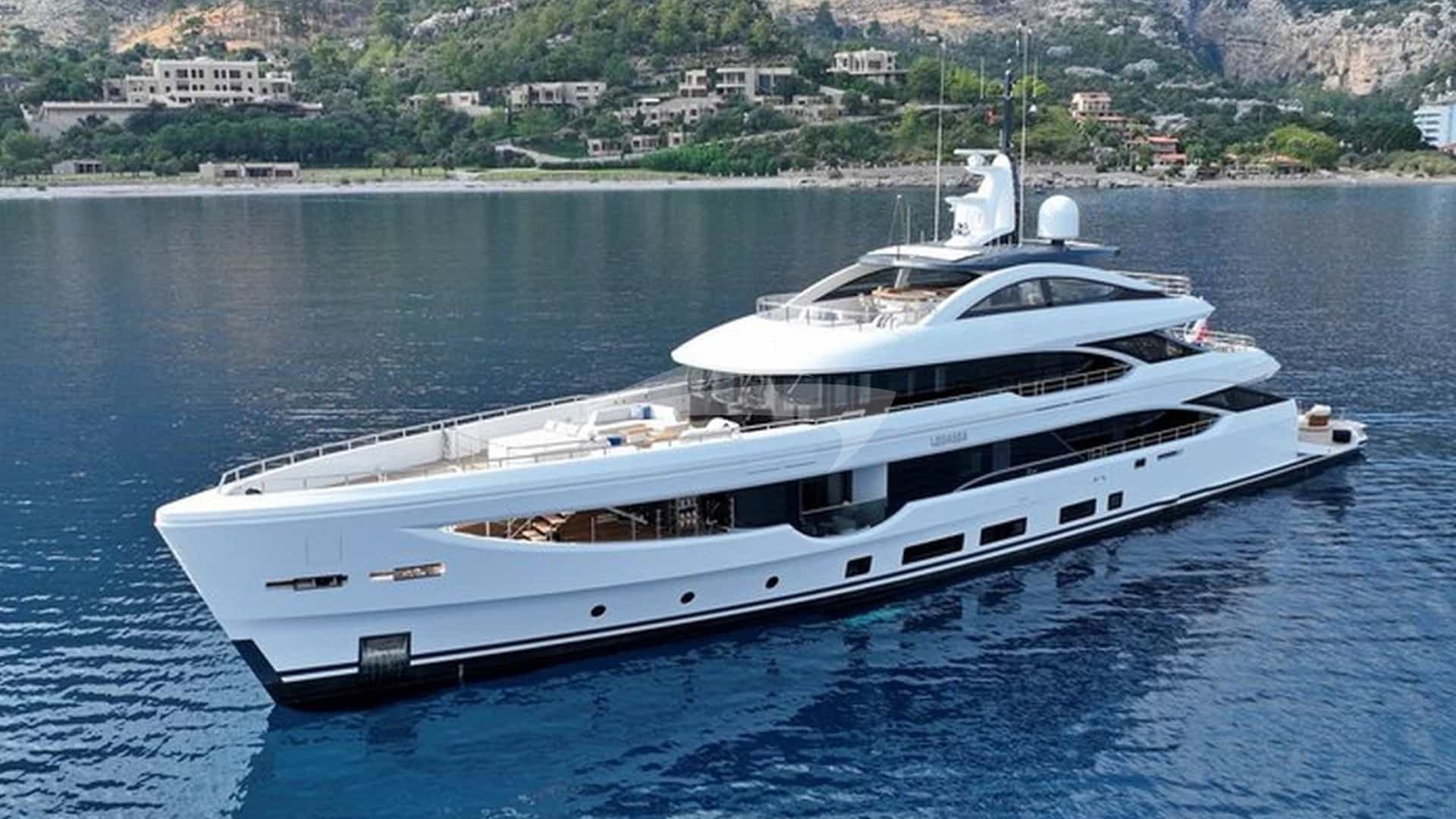
Positioned at the southern apex of the Istrian peninsula, Pula serves as the natural gateway to two contrasting maritime realms: the sheltered, shallow waters of the western Istrian coast and the deep, island-dense archipelago of the Kvarner Gulf. Navigating this region demands an understanding of its unique oceanographic transition. Here, the continental shelf of the northern Adriatic drops away into deeper basin waters, creating distinct microclimates, thermal wind currents, and wave mechanics. For the discerning owner or skipper, arranging a bespoke Pula Yacht Charter yacht charter provides access to a distinct maritime boundary where Venetian maritime heritage, Austro-Hungarian naval engineering, and rugged limestone geography converge.
Executing a successful itinerary out of Pula requires precise navigational discipline. Within a radius of thirty nautical miles, a yacht can transit from the ancient Roman harbour infrastructure of Pula itself to the restricted marine park surrounding the Brijuni Islands, or navigate the notorious tide rips off Cape Kamenjak to reach the isolated, sandy shoals of Susak. Understanding how seasonal weather patterns interact with the high coastal terrain of the Učka massif and the Velebit mountain range to the east is essential for ensuring comfort and safety on board.
Geographic Character and Cruising Zones
The cruising grounds surrounding Pula are divided into three distinct operational sectors: the West Istrian Coast, the Kamenjak Threshold, and the Outer Kvarner Islands.
The West Istrian Coast, extending northwest from Pula toward Rovinj, is characterized by low-lying limestone shorelines, shallow bays, and off-lying islets. Depths here rarely exceed 40 metres, making it an forgiving area for short coastal passages and gentle day-sailing. The Brijuni Archipelago dominates this sector, comprising 14 islands and islets separated from the mainland by the Fažana Channel. Strictly regulated due to national park status and national security reserves, these islands offer deep, protected anchorages alongside pristine pine-forested coastlines.
The Kamenjak Threshold forms the tactical axis of the region. Cape Kamenjak, a narrow, five-kilometre-long peninsula extending south from Pomer, splits the open Adriatic from the Kvarner Gulf. The sea bed drops precipitously south of the cape, where strong tidal currents from the North Adriatic basin compress against the Istrian landmass. Passing Kamenjak marks the transition from coastal cruising to open-water passage making.
East of Kamenjak lies the Kvarner Gulf (Kvarnerić), a expansive body of deep water punctuated by the linear island chains of Cres, Lošinj, Unije, Susak, and Silba. These islands run predominantly north-south, forming natural channels that act as wind funnels under specific meteorological conditions. Depths in the Kvarner Gulf frequently exceed 70 metres right up to the cliff faces, requiring skippers to rely on deep-water anchoring gear or established mooring fields rather than shallow-water anchoring.
Wind Systems, Microclimates, and Sea States by Month
Cruising out of Pula requires constant monitoring of the three dominant Adriatic wind systems: the Maestral, the Bura, and the Jugo, alongside localized summer squalls known as Neverini.
The Maestral is the primary thermal wind of the summer season. Driven by the temperature differential between the sea and the Istrian landmass, it rises reliably around 10:00, builds to Force 4 or 5 (15 to 20 knots) from the northwest by 14:00, and dies away completely at sunset. In the waters between Pula and the Kvarner islands, the Maestral creates ideal beam-reaching conditions with a moderate sea state, though it can create a localized short chop in the Fažana Channel.
The Bura is a cold, katabatic wind blowing from the northeast, falling off the high coastal slopes of the Velebit mountains and the Učka ridge. While less frequent during the midsummer months, a summer Bura can strike with minimal warning, accelerating through island gaps such as the Unije Channel and off Cape Kamenjak. Gusts can reach 40 to 50 knots within minutes, flattening the sea surface into white spray and rendering lee shores hazardous. Safe anchorage during a Bura requires absolute shelter from the northeast quadrant, backed by high land.
The Jugo is a warm, humid southeasterly wind generated by low-pressure systems over the Western Mediterranean. Unlike the sudden onset of the Bura, the Jugo builds over 24 to 36 hours, bringing overcast skies, heavy rain, and a long, rolling swell that sweeps up the Kvarner Gulf. Anchoring along southern-exposed bays becomes untenable during a Jugo, as the swell wraps around headlands and creates severe rolling even in apparently sheltered coves.
- May and June: Settled conditions predominate, dominated by light to moderate thermal breezes. Sea temperatures range between 18°C and 22°C. The risk of sustained Bura events remains moderate, but overall vessel density is low, allowing primary choice of berths and moorings.
- July and August: High summer conditions bring consistent thermal Maestral winds. Air temperatures frequently exceed 30°C, and sea temperatures reach 26°C. The principal navigational hazard during these months is the Neverin—a violent, localized convective squall approaching swiftly from the west or southwest, typically late in the afternoon. Neverini bring sudden wind shifts, gusts exceeding 45 knots, and heavy rain, lasting between 30 minutes and two hours.
- September and October: Excellent cruising conditions return as air temperatures cool to a comfortable 24°C while sea temperatures retain their summer warmth. The Maestral becomes lighter, but early autumn depressions can trigger stronger Jugo flows or brief, sharp Bura events.
Key Anchorages, Moorings, and Shelter Analysis
Selecting the correct anchorage around Pula depends heavily on the prevailing wind system. The surrounding coastline offers exceptional natural harbours, provided their specific exposures are understood.
### Uvala Portić (Cape Kamenjak) Positioned near the southernmost tip of Cape Kamenjak (44°46'N, 13°55'E), Uvala Portić is a deeply indented bay offering critical shelter for vessels waiting to cross the Kvarner Gulf. The holding ground is excellent, consisting of thick mud and sand in depths of 4 to 8 metres. Portić provides near-total protection from the north, west, and southwest. However, it is entirely open to the southeast; if a Jugo sets in, the bay fills with heavy swell, requiring an immediate move to the northern side of the cape or into Marina Veruda.
### Uvala Maračol (Unije Island) Located on the eastern side of Unije Island, Uvala Maračol is a narrow, fjord-like inlet that cuts deep into the limestone rock. It is equipped with a designated concession mooring buoy system. The bay is enclosed by steep, pine-covered slopes exceeding 60 metres in height, offering supreme shelter from the prevailing northwest Maestral and the open western sea. It is secure in almost all conditions, though strong easterly Bura gusts can stream over the ridge, requiring sound bridle attachments to the mooring buoys.
### Uvala Sv. Nikola (Veliki Brijun) The main harbour on Veliki Brijun offers stone quayside berths with lazy lines, complete with water and power connections. Protected from the open sea by the surrounding island geometry and substantial breakwaters, Sv. Nikola is comfortable in all weather except violent south-westerly gales. Visiting vessels must book through the National Park authority. Anchoring elsewhere in the Brijuni archipelago is strictly prohibited to protect the seabed and marine life.
### Uvala Bok and Dragocet (Susak Island) The island of Susak is unique in the Adriatic, composed entirely of fine, windblown sand deposited on a limestone platform. Uvala Bok, on the northeast coast, offers an extraordinary anchorage in shallow water (3 to 6 metres) over bright fine sand with exceptional holding. It provides good shelter from southwesterly and southerly winds, but is exposed to the Bura. Skippers must keep a close watch on depth sounders when approaching, as sandy banks extend significantly offshore.
### Uvala Artatore (Lošinj Island) Situated on the eastern shore of the Lošinj Channel, north of Mali Lošinj, Uvala Artatore is a spacious, well-protected bay with several sub-coves. The bottom is a mixture of sand and Posidonia oceanica seagrass; anchors must be carefully set in sandy patches to ensure holding and avoid damaging the grass beds. Artatore offers reliable shelter from the Maestral and Jugo, making it a primary staging anchorage when the southern outer bays of Lošinj are impacted by swell.
Navigational Hazards, Passages, and Local Regulations
Navigating the waters around Pula requires strict attention to clear passage planning, particularly regarding depth restrictions, speed limits, and designated maritime zones.
### Cape Kamenjak and the Porer Reef The passage around Cape Kamenjak demands a wide berth. Extending southwest from the headland lies the Porer Reef, marked by the prominent 35-metre stone tower of Porer Lighthouse (44°45'N, 13°53'E). The area between Porer, the round islet of Fenoliga, and the mainland cape is laced with shallow rocks, unpredictable eddies, and tidal currents that can reach speeds of 4 knots during spring tides. Deep-draft yachts should pass at least 1.5 nautical miles south of Porer Lighthouse to avoid the heavy, standing waves that form when a strong wind runs against the current.
### The Brijuni National Park Regulations The waters surrounding the Brijuni islands are subject to strict environmental and security monitoring. Vessels transiting the Fažana Channel must adhere to a speed limit of 8 knots. The western and northern islets of the archipelago—including Vanga, Gaz, and Sv. Jerolim—have exclusion zones extending up to 500 metres off their shores, marked by yellow regulatory buoys. Unauthorized anchoring within the national park perimeter carries heavy fines.
### The Privlaka Canal Bridge (Mali Lošinj) When navigating between the Kvarnerić and the western side of Lošinj, skippers often use the Privlaka Canal, a narrow artificial channel cut through the solid rock at Mali Lošinj.
- Channel width: 6 metres.
- Controlling depth: 2.4 metres.
- Bridge opening schedule: Opens twice daily at 09:00 and 18:00.
- Priority: Outbound (easterly) traffic has priority over inbound traffic.
Yachts exceeding 2.2 metres draft or with beam wider than 5.5 metres must not attempt the canal and must instead take the longer, open-sea passage around the southern tip of Lošinj (Cape Ilovik).
Captain’s Masterclass: Planning a Seven-Day Itinerary
Executing a seamless seven-day charter out of Pula requires a flexible strategy that balances historic coastal ports with remote island anchorages, always adapting to the prevailing wind system. The following itinerary assumes a departure from Marina Veruda or ACI Marina Pula, taking advantage of the summer Maestral cycle.
### Day 1: Pula to Brijuni National Park (Veliki Brijun) — 7 NM After completing engine checks, safety briefings, and victualling at the base harbour, clear the breakwater and clear the Shoal of Pula to enter the southern approach of the Fažana Channel. Maintain a steady course northward, avoiding the shoal ground surrounding Jerolim Islet. Moor stern-to at the stone quay in Uvala Sv. Nikola on Veliki Brijun. Spend the afternoon exploring the island's botanical gardens, Roman villa ruins at Verige Bay, and historical presidential estate. Dine on board or ashore at the hotel restaurant overlooking the channel.
### Day 2: Veliki Brijun to Unije Island (Uvala Maračol) — 24 NM Cast off at 08:30 to clear Cape Kamenjak before the thermal afternoon wind peaks. Set a course of 145° across the open stretch of the Kvarner Gulf. Keep Porer Lighthouse 2 nautical miles to port to clear the shallow currents. As you cross the open passage, the sea depth drops to 65 metres. By midday, the northwest Maestral will establish itself, allowing a comfortable broad reach toward the high silhouette of Unije Island. Enter Uvala Maračol on the east coast of Unije, secure a concession mooring buoy, and take the tender around the headland to the quiet village of Unije on the west coast for a dinner of freshly caught Adriatic scampi and local Istrian fuži pasta.
### Day 3: Unije to Susak and Mali Lošinj — 14 NM A short, high-reward day. Depart Unije at 09:30 and drop south for 6 nautical miles to the island of Susak. Anchor in 4 metres of crystal-clear water over sand in Uvala Bok. Spend the morning swimming in the turquoise water and walking up the terraced sandy paths to Susak’s upper village, famous for its unique dialect and traditional costumes.
At 14:00, weigh anchor and set a course east-southeast toward the island of Lošinj. Proceed through the deep bay of Augusta to Mali Lošinj, securing a berth at the town quay or marina. Mali Lošinj offers exceptional dining; seek out local taverns (konobas) serving brodet (a rich fish stew cooked with white wine and polenta) and roasted lamb from the nearby hills of Cres.
### Day 4: Mali Lošinj to Ilovik and Silba — 18 NM Depart Mali Lošinj southbound, cruising down the pine-fringed coast toward the Ilovik Channel. Pass through the narrow channel between Lošinj and Ilovik, a well-sheltered natural harbour lined with eucalyptus trees. Continue southeast across the Silba Channel to Silba Island.
Moor in Uvala Sv. Ante on the southwest coast, securing to a buoy among pine trees extending right to the water's edge. Silba is entirely pedestrianized, offering a remarkably quiet environment. Walk the narrow path across the narrow waist of the island to the main village to scale the Toreta—a hexagonal 19th-century viewing tower built by a sea captain.
### Day 5: Silba to Cres Island (Valun or Cres Town) — 32 NM This represents the primary offshore leg of the itinerary, heading north-northwest up the spine of the Kvarner Gulf. Leave Silba at 08:00, setting a course along the eastern coast of Unije toward the southern tip of Cres Island. As the Maestral builds late in the morning, enjoy a sustained beat up the narrow channel separating Cres from the main maritime routes.
Anchor in the sheltered waters of Valun Bay on Cres. The small fishing village of Valun is world-renowned for its gastronomy, particularly wild asparagus dishes in early summer and slow-cooked cuttlefish stew paired with cold Malvazija Istarska wine. If full marina facilities are required, continue 5 nautical miles north into the perfectly enclosed fjord of Cres Town.
### Day 6: Cres to Cape Kamenjak (Uvala Portić) — 20 NM Begin the return leg westward back across the Kvarner Gulf toward Istria. Clear the high cliffs of western Cres and establish a course of 260° heading directly for Cape Kamenjak. This passage provides excellent opportunities for open-water sailing as the afternoon thermal breeze hits the starboard beam.
Drop anchor in the deep clay and sand bottom of Uvala Portić on the lee side of Cape Kamenjak. Use the late afternoon to explore the natural reserve of Kamenjak by foot or paddleboard, navigating the sea caves along the western cliffs. Dine on board under the stars, fully protected from the westerly swell.
### Day 7: Uvala Portić to Pula Harbour — 12 NM Enjoy a final morning swim in the clear waters of Portić before weighing anchor at 10:00. Round Cape Kamenjak with a generous wide berth south of Porer Lighthouse, tracking the current along the southwestern coast of Istria. Pass the entrance of Marina Veruda and double back north past the Verudela headland toward Pula Harbour.
Before returning to the marina, execute a slow pass along the historic harbour front of Pula, taking in the magnificent sight of the 1st-century Roman Amphitheatre rising directly above the water. Refuel at the fuel dock inside Pula harbour or Marina Veruda before handing over the vessel.
Culinary Integration and Regional Provisioning
Cruising out of Pula provides a distinct opportunity to experience Istrian and Kvarner gastronomy, which varies noticeably from the southern Dalmatian coast. Istria's culinary identity is anchored in its dual Venetian coastal heritage and continental inland forests.
- *Truffles (Tartufi):* The Mirna River valley in northern Istria produces world-class black and white truffles. In ports like Pula, Rovinj, and Cres, local markets offer fresh truffle butter, preserved whole truffles, and truffle-infused olive oils that serve as exceptional ingredients for galley preparation.
- Istrian Olive Oil: Istria consistently wins international awards for its extra virgin olive oils, characterized by high polyphenol content, intense green colour, and a peppery finish. Key regional monocultivars to source for the yacht’s pantry include Buža, Istarska Bjelica, and Karbonaca.
- Seafood Specialties: The Kvarner Gulf is famed for the Kvarnerski škamp (Norway lobster), caught in deep-water traps. Characterized by their pale pink shell and sweet, delicate flesh, they are best prepared na buzaru—flashed in a pan with olive oil, garlic, parsley, and white Malvazija wine.
- Meat and Cheese: Istarski pršut (cured ham) is dry-cured with sea salt, pepper, garlic, and bay leaves, aged in the cold Bura wind without smoking. Pair it with sheep’s milk cheese from Cres or the neighbouring island of Pag, which gains a distinct salinity and herbaceous note from grazing on salt-dusted wild sage.
Provisioning before departure is best conducted at the central Pula Market (Pulska tržnica), an architectural iron-and-glass landmark built in 1903 during the Austro-Hungarian era. The ground floor fish market (ribarnica) is widely considered one of the finest in the Adriatic, receiving daily landings of wild sea bass, dentex, squid, and Kvarner scampi directly from local fishing boats before dawn.