
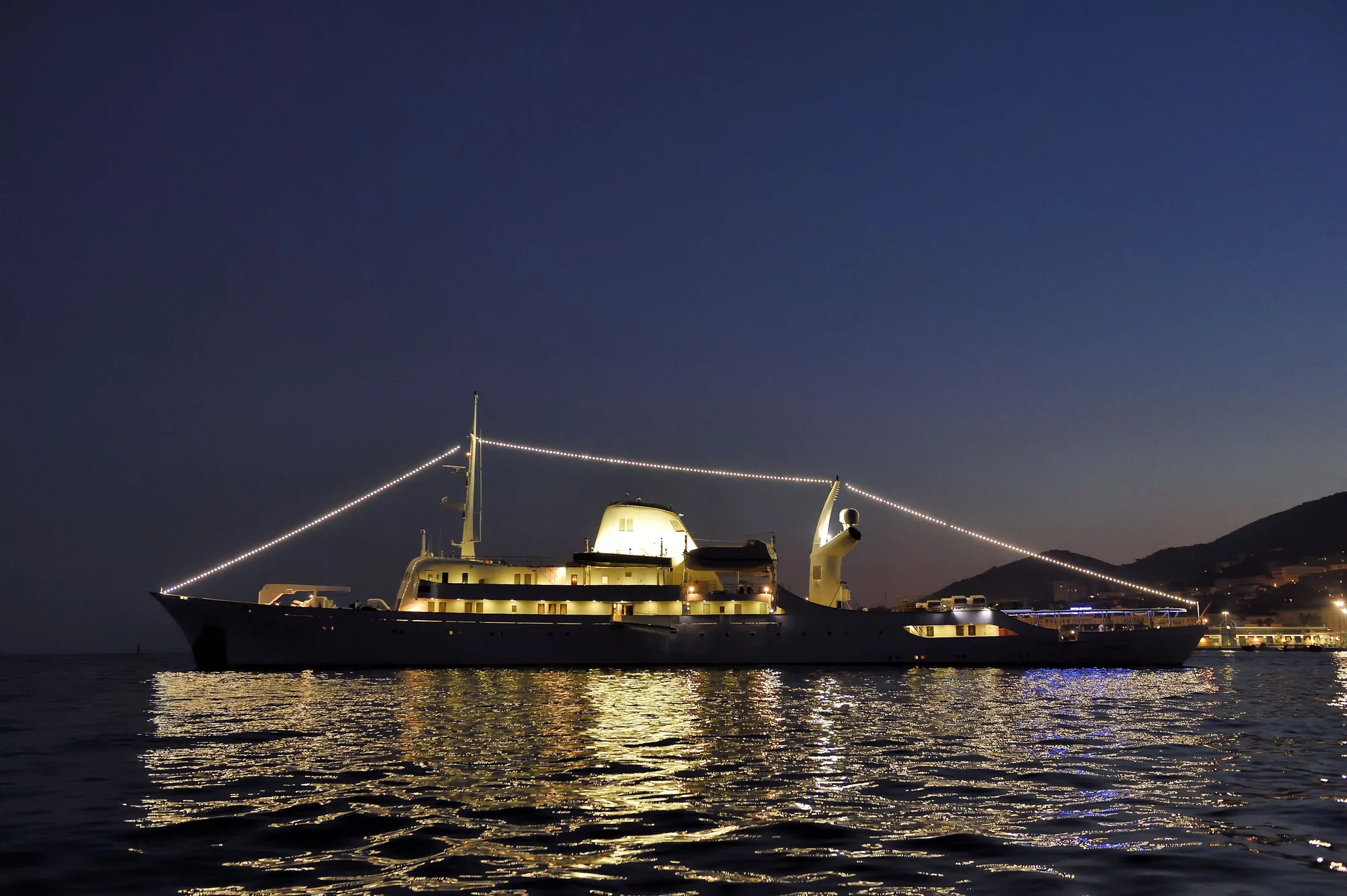
Sainte-Luce occupies a strategic position on the south coast of Martinique, running along a sheltered littoral strip between the deep natural harbour of Le Marin to the east and the dramatic volcanic promontories of Les Anses d'Arlet to the west. Facing directly onto the St Lucia Channel—historically noted on charts as the Canal de Sainte-Luce—this stretch of coastline balances immediate access to open ocean passages with exceptionally tranquil, reef-protected anchorages. For those undertaking a Sainte-Luce Yacht Charter yacht charter, the area serves as both an ideal jumping-off point for southbound island-hopping toward Saint Lucia and St Vincent, and an authentic cruising ground in its own right.
Unlike the highly developed marina hubs nearby, the coastline off Sainte-Luce retains a distinctly working, maritime character. Fishing skiffs (yoles and gommiers) operate daily out of the town’s shallow harbours, while a series of distinct crescents of sand—each protected by fringing reef structures—provide secure holding for draughts ranging from performance catamarans to deep-keeled motor yachts. Understanding the nuanced weather patterns, swell entry points, and underwater topography of Sainte-Luce is essential for captains and charterers who wish to maximize comfort and safety along Martinique's southern lee.
The Coastal Topography and Sea Areas
The coastal jurisdiction of Sainte-Luce spans approximately five nautical miles of varied shoreline. It begins at Pointe Cacao in the east, which forms the western jaw of the entrance to Cul-de-Sac du Marin, and extends westward past the headland of Pointe Philippeaux to Anse Mabouya. Geologically, this coast is characterized by low-lying volcanic terrain backed by dry woodland, punctuated by a series of shallow bays separated by low basalt points.
The immediate off-lying water is split into two distinct operational environments:
### The Inner Reef Lagoon A discontinuous line of coral reefs, known collectively as the Caye de Sainte-Luce, lies between 0.2 and 0.6 nautical miles offshore. Inside this line, water depths range from 3 to 8 metres over a floor of fine white sand, broken coral, and patchy sea-grass beds. This inner belt offers calm water conditions ideal for at-anchor swimming and tenders, but requires cautious visual pilotage due to isolated coral heads (heads of 1.2 to 1.8 metres clearance at low astronomical tide).
### The St Lucia Channel Approach Outside the outer reef edge, the seabed drops off rapidly into the deep waters of the St Lucia Channel, reaching depths of over 200 metres within two nautical miles of the shore. Here, the sea state is governed entirely by the open Atlantic swell pushing around the southeastern tip of Martinique, combined with wind-driven waves funnelled through the channel between Martinique and Saint Lucia.
Prevailing Winds, Weather Patterns, and Monthly Sea States
Cruising conditions off Sainte-Luce are dictated by the North Atlantic trade wind system, modified locally by the high volcanic relief of Martinique's interior. The mountain masses of Montagne Pelée to the north and the Pitons du Carbet create local thermal and topographical wind shifts along the coast.
### November to December (Early Season / The "Christmas Winds") Wind:* Dominant direction ENE to NE, averaging 18 to 25 knots. Frequent squall lines carry localized wind gusts exceeding 30 to 35 knots, accompanied by brief heavy downpours. Sea State:* Moderate to rough offshore (2.5 to 3.5 metre swells in the channel). The inner anchorages of Sainte-Luce remain flat, though a northerly wind component can create strong catabatic gusts off the hills behind the town. Pilotage Note:* Good holding ground is vital during this period to withstand squall-driven wind shifts.
### January to April (Peak Dry Season / "Carême") Wind:* Settled trade winds from E to ENE, blowing consistently at 15 to 22 knots. Wind direction remains stable for days at a time. Sea State:* Moderate offshore (1.5 to 2.5 metre swells). Inside the reef line at Sainte-Luce, seas are smooth to slight. Long-period northerly swells generated by North Atlantic depressions can occasionally refract around Pointe des Salines, causing a slight roll in western-facing bays like Anse Mabouya.
### May to June (Late Dry Season) Wind:* Trade winds ease slightly and shift toward E to ESE, averaging 12 to 18 knots. Sea State:* Slight to moderate offshore. The southern coast of Martinique experiences its calmest ocean conditions, making transits across the St Lucia Channel exceptionally comfortable.
### July to October (Wet Season / "Hivernage") Wind:* Lighter and more variable, ranging from 8 to 15 knots, frequently shifting to the SE or S. Tropical waves pass through regularly, bringing light winds punctuated by intense squall activity and heavy rain. Sea State:* Generally slight offshore, but southern swells generated by low-pressure systems in the lower latitudes can roll directly into the south-facing anchorages of Sainte-Luce. This season coincides with the Atlantic hurricane window; careful monitoring of meteorological bulletins is mandatory.
Key Anchorages and Tactical Shelter
Sainte-Luce offers five primary anchoring locations. Each bay possesses unique protection profiles based on wind direction and swell angle.
### Anse Mabouya Located at the western boundary of the Sainte-Luce sector, Anse Mabouya is a wide, open bay protected to the east by Pointe Philippeaux. Depth & Bottom:* 4 to 7 metres over fine sand and sea-grass. Excellent holding power once the anchor penetrates the upper sand layer. Shelter:* Exceptional protection from ENE through to ESE trade winds. Exposed to rare SW or W winds and long-period S swells. Tactical Use:* An outstanding night anchorage for vessels arriving from the west (Anse d'Arlet) or preparing to head north into Fort-de-France Bay. It is generally quieter and less built-up than the central town beach.
### Anse Gros Raisin Positioned directly in front of the western approach to Sainte-Luce town, this anchorage puts guests within short tender reach of local waterfront dining and artisanal bakeries. Depth & Bottom:* 3.5 to 5 metres over coarse sand with scattered weed. Shelter:* Good protection from winds from N through E. Exposed to any swell with a southerly component. Tactical Use:* Excellent daytime anchorage for guest shore trips or lunch stops. Overnight stays are comfortable during settled winter trade wind conditions when the swell is strictly easterly.
### Anse Corps de Garde This is the largest and most commercially active beach bay in Sainte-Luce, situated east of the main town centre. Depth & Bottom:* 3 to 6 metres over clean sand. Outstanding holding. Shelter:* Well sheltered from NE through ESE trades by the prominent eastern reef arm. The outer reef barrier dissipates the majority of the Atlantic swell before it reaches the beach. Tactical Use:* A highly secure overnight anchorage. The presence of clear water and minimal current makes it a favoured spot for water sports, paddleboarding, and swimming directly from the yacht's bathing platform.
### Anse Fond Banane and Anse Désert Moving east toward Pointe Cacao, these two smaller coves offer a more isolated atmosphere, framed by coconut palms and low cliffs. Depth & Bottom:* 4 to 8 metres over sand and patch reef. Shelter:* Excellent shelter from ENE trade winds, but entry requires strict attention to visual navigation. Tactical Use:* Ideal daytime lunch stops for charterers seeking seclusion away from town infrastructure. Anchor choice must account for isolated coral heads; dropping in clear sandy pockets is required to avoid damaging marine life or fouling ground tackle.
Navigational Hazards and Local Pilotage
While navigating the waters off Sainte-Luce is straightforward in clear daytime conditions, several specific hazards require careful planning and monitoring.
       [ Martinique South Coast: Sainte-Luce Pilotage Overview ]

                      (TOWN OF SAINTE-LUCE)
    ===================|==================|===================
      Anse Mabouya   Anse Gros Raisin   Anse Corps de Garde
            \                |                /
             \               |               /
   [3-6m Sand]        [3-5m Sand]      [3-6m Sand/Weed]
  ------------------------------------------------------------
   ~~~~ Outer Reef System: Caye de Sainte-Luce (1.2-1.8m) ~~~~
  ------------------------------------------------------------
                               |
                  [ Deep Water Approach: 100m+ ]
                               |
                   <<< St Lucia Channel >>>
            (Strong E-W Currents 1.5 - 2.5 knots)
### The Caye de Sainte-Luce Reef System The outer barrier reef does not form a continuous wall, but rather a series of shallow coral shoals with depths reducing to less than 1.5 metres in several places. Yachts drawing more than 2.0 metres should not attempt to cross the reef barrier except through marked or clearly surveyed channels.
- Pointe Cacao Passage: When approaching from the east (Le Marin), yachts must give Pointe Cacao a clearance of at least 0.5 nautical miles to clear the shallow reef extension stretching off the point.
- Visual Navigation: Polarized sunglasses and high sun elevation (between 10:00 and 15:00 hours) are essential when manoeuvring near the reef line to distinguish deep blue water from light green/yellow coral shoals.
### Local Artisanal Fishing Gear The waters between Sainte-Luce and the outer drop-off are heavily fished by local creole fishermen using fish traps (casiers) marked by unlit plastic bottles or small flags, often attached to long polypropylene lines that float on the surface. Risk:* Entanglement of propulsion shafts, bow thrusters, and rudders. Mitigation:* Maintain a vigilant bow watch when operating within two nautical miles of the coast, especially during early morning and late afternoon transits. Avoid night passages close to the coast.
### Current Acceleration Zones The passage between the southwestern tip of Martinique (Pointe du Diamant) and Rocher du Diamant (Diamond Rock), located just 5.5 nautical miles west of Sainte-Luce, creates a notable squeeze-play for both ocean currents and wind. Current:* A west-setting current generally flows through the St Lucia Channel at 1.0 to 1.5 knots. Near Diamond Rock, this current can accelerate to 2.5 knots or more, particularly on an ebb tide. Wind:* Trade winds wrap around Morne Larcher (the prominent mountain known as the "Sleeping Woman"), creating sudden down-drafts and localized wind speed increases of 5 to 10 knots above the background weather forecast.
Day-Hop Distances and Regional Routing
Sainte-Luce serves as a central pivot point along Martinique's southern cruising arc. Below are the key nautical mile distances from the central anchorage off Sainte-Luce (Anse Corps de Garde) to primary destinations in the region:
- Le Marin (Port de Plaisance Entrance): 5.2 NM (East)
- Pointe des Salines (Southeastern tip): 7.8 NM (South-East)
- Rocher du Diamant (Diamond Rock): 5.5 NM (West-South-West)
- Grande Anse d'Arlet: 9.8 NM (West-North-West)
- Anse Noire / Anse Dufour: 11.5 NM (West-North-West)
- Baie de Fort-de-France (Pointe du Bout): 15.2 NM (North-West)
- Rodney Bay, Saint Lucia (Marina Entrance): 21.5 NM (South)
- Marigot Bay, Saint Lucia: 29.0 NM (South)
This density of targets allows captains operating a Sainte-Luce Yacht Charter itinerary to offer guests a balance of short, relaxed coastal runs within protected waters and longer open-water passages across the St Lucia Channel.
How a Master Captain Plans a Seven-Day Sainte-Luce Itinerary
A successful charter itinerary beginning or featuring Sainte-Luce must accommodate shifting weather patterns, guest preferences for activity versus relaxation, and efficient customs clearances when crossing international boundaries. Below is an operational breakdown of how a professional captain executes a seven-day luxury charter centered around Sainte-Luce.
### Day 1: Boarding in Le Marin and Afternoon Transit to Sainte-Luce Distance: 5.5 NM | Sailing Time:* 1 hour Morning/Early Afternoon:* Guests embark at the main marina facilities in Le Marin. Safety briefings and yacht orientations are conducted while the crew stores provisions. Late Afternoon:* Clear the marked channel out of Cul-de-Sac du Marin. Set a westerly course past Pointe Cacao, entering the smooth-water belt behind the Caye de Sainte-Luce. Anchorage:* Drop anchor in 4 metres of water at Anse Corps de Garde. Evening:* Guest welcome dinner aboard. The yacht sits in motionless water, sheltered from the Atlantic swell, allowing guests to acclimate to life onboard.
### Day 2: Sainte-Luce Exploration and Culinary Immersion Distance: 3 NM | Sailing Time:* 30 minutes Morning:* Early morning tender trip or paddleboard session along the calm reef edge at Anse Fond Banane. After breakfast, step ashore at the Sainte-Luce town pontoon. Excursion: Private land transfer inland to the historic Distillerie Trois Rivières, famous for its iconic windmill and high-proof Rhum Agricole* distilled directly from fresh sugar cane juice. Afternoon:* Re-embark and shift anchorage 1.5 nautical miles west to Anse Mabouya. Dining: Onshore dining at an authentic coastal paillote (beach restaurant) specializing in local seafood: balaou (crispy fried needlefish), accras de morue (spiced cod fritters), and fresh-caught langouste* (Caribbean spiny lobster) grilled over wood coals.
### Day 3: Coastal Passage to Diamond Rock and Les Anses d'Arlet Distance: 10 NM | Sailing Time:* 1.5 to 2 hours Morning:* Weigh anchor at 08:30. Sail west-southwest towards Rocher du Diamant. As the yacht enters the passage between the rock and Morne Larcher, expect trade winds to intensify briefly. Activity:* Circum-navigate Diamond Rock for photograph opportunities and historical commentary on its status as a commissioned Royal Navy sloop ("HMS Diamond Rock") during the Napoleonic Wars. Diving or snorkeling along the underwater cavern on the rock's northern face (weather permitting). Afternoon:* Round Cap Salomon and enter Grande Anse d'Arlet. Anchorage:* Pick up a dedicated park mooring buoy or anchor in 6 metres of clear sand. The bay offers an abundance of green sea turtles grazing on sea-grass beds just off the stern.
### Day 4: Northern Coastal Exploration – Anse Dufour to Fort-de-France Bay Distance: 12 NM | Sailing Time:* 2 hours Morning:* Early short hop north to Anse Dufour and adjacent Anse Noire. Anse Dufour features classic yellow sand and traditional fishing culture, while Anse Noire lies in a steep volcanic ravine with dramatic black sand. Snorkelling:* The headland separating the two coves harbors vibrant coral walls populated by hawksbill turtles, moray eels, and dense schools of blue tangs. Afternoon:* Comfortable beam reach north into the sheltered waters of Fort-de-France Bay. Anchorage:* Anchor off the beach at Pointe du Bout or secure a berth at the marina, giving guests access to high-end French boutiques, gelaterias, and cultural sites such as Fort Saint-Louis and the Schoelcher Library.
### Day 5: Crossing the St Lucia Channel to Rodney Bay Distance: 24 NM | Sailing Time:* 2.5 to 3.5 hours Morning:* Early departure (07:00) to cross the St Lucia Channel while trade winds are at their most predictable. Lay a southerly course, easing sheets as the vessel leaves the lee of Martinique. Open-Water Experience:* Expect energetic, open-ocean blue-water sailing with full Atlantic swells rolling through the passage. Catamarans and large displacement motor yachts cover this transit with speed and stability. Arrival:* Enter Rodney Bay, Saint Lucia, by mid-morning. Clear Saint Lucian customs and immigration at Rodney Bay Marina or drop anchor in the spacious lee of Pigeon Island National Park. Afternoon:* Explore the ruins of Fort Rodney, relax on the white sands of Pigeon Island, or enjoy water sports in the flat, protected bay.
### Day 6: Pitons Transit and Northbound Return Run Distance: 28 NM (total for day) | Sailing Time:* 4 hours Morning:* First light run south down the dramatic western lee of Saint Lucia, passing Castries and Marigot Bay, concluding at the base of the iconic Pitons (Gros Piton and Petit Piton) soaring straight out of the sea at Soufrière. Activity:* Take a park mooring buoy between the Pitons (Pitons Management Area). Snorkel at the Sugar Beach drop-off, where underwater cliff walls plunge hundreds of feet into the abyss. Afternoon:* Turn northbound for the return passage back across the St Lucia Channel to southern Martinique. Anchorage:* Re-enter the calm waters of Sainte-Luce, anchoring at Anse Gros Raisin for a tranquil final night under the stars.
### Day 7: Final Morning and Disembarkation Distance: 5.5 NM | Sailing Time:* 1 hour Morning:* Final swim and breakfast anchored in the lee of Anse Gros Raisin. Enjoy the morning light across the calm lagoon waters. Transit:* A relaxed 45-minute motor back along the coast, rounding Pointe Cacao to enter the channel to Le Marin for final disembarkation and onward transfers to Martinique Aimé Césaire International Airport (FDF).
Marine Preservation and Charter Etiquette
The marine environments surrounding Sainte-Luce—particularly the fragile coral systems of Caye de Sainte-Luce and the sea-grass habitats at Anse Mabouya—are subject to increasing local conservation efforts. Charter captains and guests are expected to adhere to strict environmental standards to preserve these ecosystems:
- Anchoring Discipline: Anchors must be deployed exclusively in sand patches. Dropping chain or anchors on living coral heads (patates de corail) is strictly prohibited by Martinique maritime regulations and subject to heavy fines.
- Sea Turtle Habitat Protection: The bay of Anse Corps de Garde and nearby Les Anses d'Arlet are critical foraging grounds for green and hawksbill sea turtles. Tenders and jet skis must maintain a strict 5-knot speed limit within 300 metres of the shore to prevent strike injuries to breathing reptiles.
- Blackwater Management: Discharge of blackwater holding tanks within three nautical miles of the coastline or inside designated bays is strictly forbidden. Vessels operating in Sainte-Luce waters must utilize treatment systems or retain waste for offshore discharge in deep ocean waters.
By respecting the subtle pilotage requirements, understanding the seasonal wind regimes, and appreciating the local Creole heritage, cruising off Sainte-Luce delivers one of the most balanced, versatile luxury charter experiences available anywhere in the Windward Islands.