
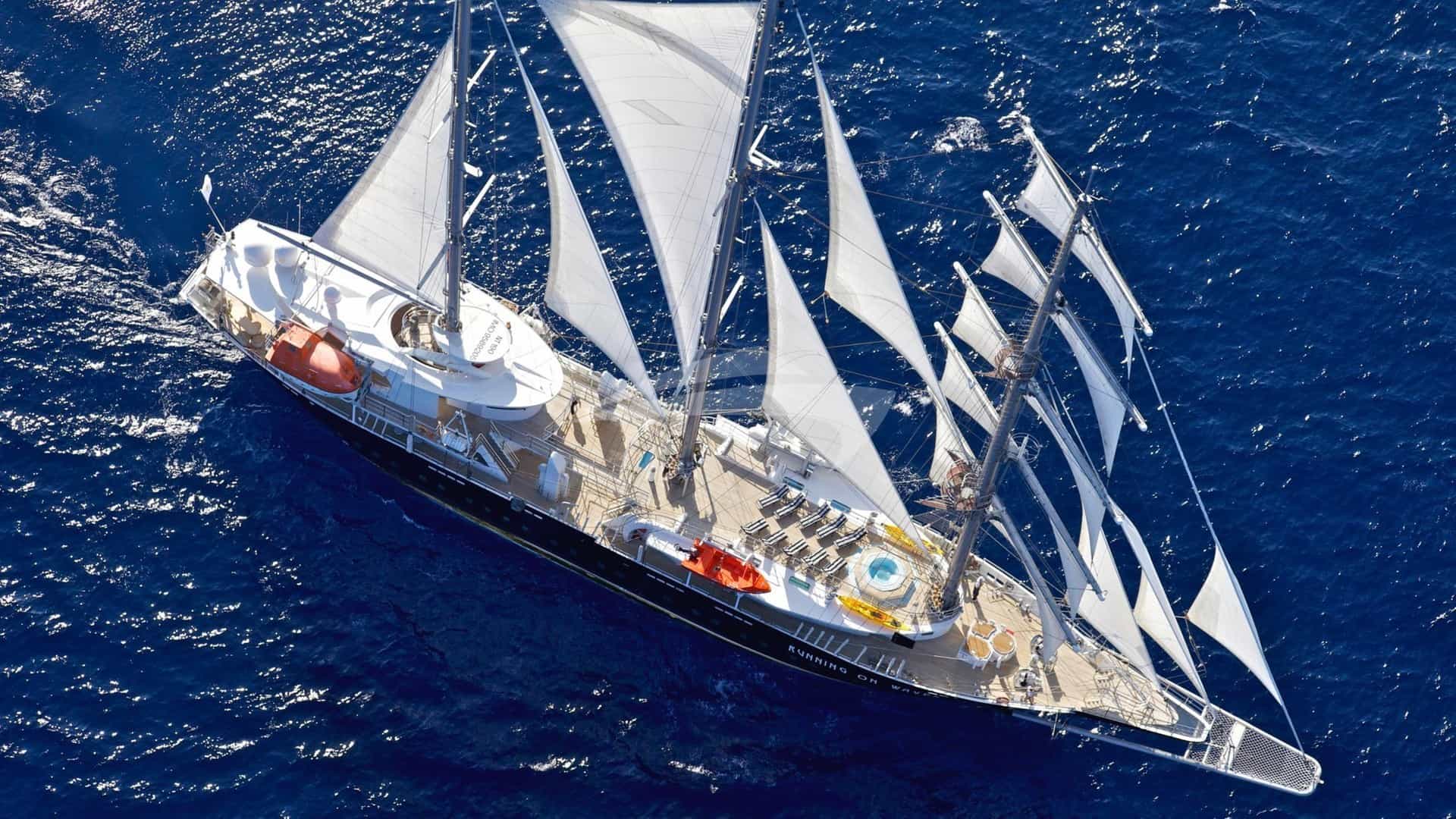
The Northern Adriatic presents one of the most hydrographically diverse cruising grounds in the Mediterranean. Within a span of seventy nautical miles, the landscape transitions from the shallow, alluvial mudflats of the Venetian Lagoon to the stark limestone cliffs of the Karst plateau around Trieste, and onward to the pine-fringed, deeply indented coast of Istria. Cruising these waters successfully requires a distinct operational approach. Captains must balance the intricate, tide-dependent pilotage of the Italian lagoons with open-water crossings across the Gulf of Venice, where katabatic winds can transform a calm sea into a steep, short-period chop in less than an hour.
Executing a Venice & Northern Adriatic Yacht Charter yacht charter demands an understanding of regional meteorology, shallow-water dynamics, and international border transitions between Italy, Slovenia, and Croatia. For charter guests, this region offers an extraordinary blend of Byzantine history, Venetian architecture, world-class culinary traditions, and pristine marine parks. However, from the bridge, it is a region that demands vigilance, precise timing, and respect for local weather systems.
Coastal Topography and Cruising Sub-Regions
The cruising area of the Northern Adriatic divides naturally into three distinct geographic and operational sectors: the Lagoon Systems of the Veneto and Friuli, the Gulf of Trieste, and the Northern Istrian Peninsula.
### The Venetian Lagoon and the Veneto Coast Extending from the mouth of the Adige River up to the Venetian Lagoon and northeast toward Grado, this coastline is defined by low-lying barrier islands (lidi), river deltas, and extensive marshland. Water depth outside the dredged commercial channels drops off very slowly. The Venetian Lagoon itself covers over 500 square kilometres, but less than eight percent of it is permanent deep water. Cruising here is confined strictly to designated channels marked by wooden pile structures known as briccole. Yachts drawing more than 2.5 metres will find their navigation within the lagoon restricted to the primary shipping lanes and specific deep-water approaches to Venice, Malamocco, and Chioggia.
### The Gulf of Friuli and Trieste Moving east from the lagoon mouth at Grado, the flat sandy coast gives way to the dramatic cliffs of the Duino coast and the Karst plateau. The Gulf of Trieste features deep water right up to the shoreline, with depths ranging between 15 and 25 metres within a few cables of the rocky coast. Facilities here, such as Porto Piccolo at Sistiana or the historic urban docks in Trieste proper, offer secure berthing against stark vertical backdrops. This sector acts as the transitional zone between the muddy, shallow Italian coastline and the rocky, deep-water topography of the Eastern Adriatic.
### The Istrian Peninsula (Slovenia and Croatia) Crossing the international boundary into Slovenian and Croatian waters reveals a coast sculpted from dense limestone. From the historic Venetian-built town of Piran in Slovenia down through Umag, Novigrad, Poreč, and Rovinj to the Brijuni Archipelago, the shoreline is heavily indented with natural coves, limestone islets, and deep bays. Depths along the Istrian coast generally range from 20 to 40 metres, offering excellent holding ground in thick clay and sand, along with exceptional water clarity that is absent in the silt-heavy lagoons to the west.
Meteorology, Prevailing Winds, and Sea State
The Northern Adriatic is a semi-enclosed basin with unique local wind dynamics dictated by the surrounding mountain ranges—the Alps to the north and the Dinaric Alps to the east. Understanding these wind patterns is essential for safe passage planning and comfortable guest stays.
### The Bora (Bura) The Bora is the primary meteorological hazard in the Northern Adriatic. It is a cold, dry, katabatic wind that spills over the coastal mountain passes of Slovenia and Croatia, funneling through the Karst plateau directly into the Gulf of Trieste and across toward Venice. Clear-weather Bora (Bora Chiara):* Occurs under high-pressure systems. It brings crisp blue skies, extreme wind speeds (frequently 30 to 50 knots, with gusts exceeding 70 knots near Trieste), and a rapid drop in temperature. Dark Bora (Bora Scura):* Accompanied by low pressure, heavy cloud cover, and rain. It is less intense than the clear Bora but brings persistent high winds and heavy seas.
Because of the short fetch across the Gulf of Venice, the Bora generates short, steep, high-frequency waves that can be exceptionally punishing for displacement hulls. The wind strikes hardest off Trieste, Duino, and Point Savudrija in Istria, but its force carries right across the open gulf to the Venetian coast.
### The Sirocco (Jugo) The Sirocco is a warm, humid wind blowing from the south-southeast, driven by low-pressure systems in the Western Mediterranean. It builds slowly over two to three days, bringing long-period swells, grey skies, and high humidity. In the Northern Adriatic, the Sirocco forces water northward up the narrow basin, acting as the primary driver for acqua alta (high water flooding) in Venice during the shoulder seasons of May, September, and October. Unlike the violent, sudden onset of the Bora, the Sirocco gives ample forecast warning, but it creates uncomfortable rolling anchorages along open south-facing coasts.
### Summer Thermal Winds and Thunderstorms During the peak summer months of July and August, the dominant wind is the Maestral—a reliable afternoon sea breeze from the northwest. It typically builds around 11:00 AM, reaches 12 to 18 knots by mid-afternoon, and dies away completely by sunset. This provides ideal, comfortable conditions for day-sailing between Istrian ports.
However, heat accumulation over the Venetian plains and the Italian Alps frequently triggers severe convective summer squalls, locally known as groppi. These localized thermal storms move rapidly from the land out to sea during late afternoon or evening. A groppo can cause wind speeds to jump from 5 knots to over 45 knots in less than ten minutes, accompanied by torrential rain and lightning, before dissipating within an hour.
### Seasonal Cruising Conditions May and June:* Variable weather with lingering spring pressure shifts. Clear, pleasant days interspersed with light thermal breezes. Water temperatures range from 18°C to 22°C. Bora risk remains moderate. July and August: Stable high-pressure systems dominate. Predominantly light morning airs followed by afternoon Maestral breezes. High air temperatures (30°C–35°C) and high humidity. Low risk of sustained Bora, but elevated risk of afternoon convective groppi*. Water temperatures reach 26°C–28°C. September and October:* Exceptional cruising weather early in the month, with lower humidity, clear skies, and warm sea temperatures. As autumn approaches, the frequency of both Sirocco and Bora events increases, accompanied by stronger tidal variations in the Venetian Lagoon.
Navigational Hazards and Lagoon Pilotage
Navigating the Northern Adriatic requires two completely different skill sets: precise shallow-water channel management in the west and coastal rock-watch tactics in the east.
### Venetian Lagoon Pilotage The Venetian Lagoon is navigable only within marked channels. The boundaries of these channels are delineated by briccole—clusters of heavy oak piles driven into the mud bed. Marker Identification: Single piles (musi) mark channel edges, while three-pile structures (delfini*) indicate channel junctions, turns, or specific hazards. White markings or reflecting bands on the outer piles indicate the navigable side. Tidal Streams: Tides in the Venetian Lagoon are semi-diurnal, with a maximum spring range of approximately 1.0 to 1.2 metres. The flow through the three primary inlets (bocche di porto*)—Lido, Malamocco, and Chioggia—can reach velocities of 3.5 to 4.5 knots during spring ebb and flood tides. Vessels entering these inlets against a strong ebb tide combined with an onshore Sirocco wind will encounter heavy standing waves. Speed Limits and Leeway: Speed limits inside the lagoon are strictly enforced by the Harbour Master (Capitaneria di Porto*) and range from 5 to 11 km/h (roughly 2.7 to 6 knots) depending on the channel zone, to prevent wake damage to historic structures. Shallow depth reduces rudder efficiency and increases squate effect; captains must account for significant leeway when slow-steaming across strong cross-channel tidal currents.
### Coastal Hazards and Traffic Corridors Commercial Shipping Lanes:* The northern approaches to Venice (Lido/Malamocco) and Trieste are heavy commercial traffic zones. High-speed passenger catamarans operate continuously between Venice, Piran, and Istrian ports at speeds up to 35 knots. Radar watch and AIS monitoring are mandatory day and night. Mussel Farms (Mitilicoltura):* Extensive, unlit or poorly lit aquacultural installations are situated off the coast of Friuli, between Lignano and Grado, and along several stretches of the Istrian coast. These rectangular areas of buoys and submerged longlines extend up to two miles offshore and must be given a wide berth. Sub-surface Karst Shelves:* Along the Istrian coast from Savudrija down to Rovinj, limestone ledges project underwater from headlands. Vessels drawing over 2.5 metres should maintain a clearance of at least three cables from major capes unless following marked port approach channels.
Primary Natural Anchorages and Shelter Analysis
While the region is famous for its historical urban ports, it contains several highly protected natural anchorages providing security against prevailing weather systems.
### Venetian Lagoon: San Clemente South Anchorage Location:* South of San Clemente Island, north of Poveglia. Coordinates/Depth:* 45°24.2' N, 012°21.5' E; Depths: 3.5 to 5.0 metres. Seabed:* Stiff alluvial clay and thick mud. Exceptional holding ground once the anchor penetrates. Protection: Fully sheltered from sea swell by the outer barrier islands (Lido*). Open to wind from all directions, but zero wave action. Safe shelter in light to moderate conditions; not recommended during violent Bora events due to high windage on large motor yachts.
### Gulf of Trieste: Sistiana Bay Location:* Immediately below the Karst cliffs, northwest of Trieste. Coordinates/Depth:* 45°46.3' N, 013°37.8' E; Depths: 6 to 12 metres. Seabed:* Gravel over marl and mud. Fair holding. Protection:* Excellent protection from southerly and southwesterly winds (Sirocco). Completely exposed to the Bora. If a Bora warning is issued, this anchorage must be evacuated immediately, as katabatic gusts spill directly over the cliffs above the bay.
### Slovenia: Strunjan Nature Reserve Location:* Between Izola and Piran. Coordinates/Depth:* 45°32.1' N, 013°36.0' E; Depths: 5 to 9 metres. Seabed:* Fine mud and marine flora. Good holding ground. Protection:* Excellent shelter from easterly, southerly, and southwesterly winds. Open to the north and northwest. A peaceful, scenic anchorage under high flysch cliffs, ideal for daytime swimming and overnight stays during stable summer weather.
### Istria: Lim Fjord Outer Anchorage (Val Saline) Location:* Just north of Rovinj, at the entrance to the Lim Channel. Coordinates/Depth:* 45°07.8' N, 013°36.2' E; Depths: 8 to 14 metres. Seabed:* Dense mud and sand. Excellent holding. Protection:* Protected from all quadrants except strong westerly winds. The high wooded hills flanking the fjord entrance knock down the power of thermal breezes. It serves as an ideal staging anchorage prior to taking a berth in Rovinj.
### Istria: Lone Bay and Zlatni Rt (Rovinj) Location:* Directly south of Rovinj town, bordering the Forest Park. Coordinates/Depth:* 45°04.3' N, 013°38.1' E; Depths: 7 to 15 metres. Seabed:* Sand, gravel, and mud pockets. Very good holding. Protection: Outstanding shelter from the Bora (NE) and the summer Maestral* (NW). Exposed to strong southerlies (Jugo). This is one of the premier overnight anchorages along the Istrian peninsula, offering clear water and easy tender access to Rovinj harbour.
### Brijuni Islands: Verige Bay (Uvala Verige) Location:* Eastern side of Veliki Brijun Island. Coordinates/Depth:* 44°54.8' N, 013°46.2' E; Depths: 6 to 10 metres. Seabed:* Sand and mud over rock. Mooring buoys available (managed by the National Park). Protection:* Almost complete 360-degree protection, except from strong easterly winds blowing across the Fazana Channel. Anchoring is restricted to preserve ancient Roman submerged ruins and posidonia beds; park mooring buoys must be booked in advance.
Passage Distances and Route Planning
Navigating between the key stops of the Northern Adriatic involves short coastal hops along Istria, contrasted with open-water runs across the Gulf of Venice.
### Key Leg Distances Venice (San Giorgio Maggiore) to Chioggia:* 15 NM (via inner lagoon channels or open sea) Venice (Lido Entrance) to Grado:* 48 NM (coastal offshore passage) Grado to Trieste (Porto Vecchio):* 22 NM (crossing the Gulf of Trieste) Trieste to Piran (Slovenia):* 11 NM (direct coastal passage) Piran to Rovinj (Croatia):* 27 NM (rounding Point Savudrija and tracking south) Venice (Lido Entrance) to Piran (Direct Crossing):* 51 NM (open sea crossing) Venice (Lido Entrance) to Rovinj (Direct Crossing):* 60 NM (open sea crossing) Rovinj to Brijuni Islands:* 14 NM (coastal hop down south Istria)
Strategic Execution of a Seven-Day Charter
A successful captain planning a Northern Adriatic itinerary must remain flexible. The optimum route connects the historic urban highlights of Venice and Istria with natural anchorages, while minimizing exposure to sudden synoptic shifts.
### Pre-Departure Operational Checklist * Verify yacht draught against high/low tide windows for Venetian Lagoon channel transits. * Check international border clearance requirements (e-Nautika system for Croatia, Schengen clearance procedures for entry/exit if applicable). * Confirm engine and generator cooling systems are clear of eelgrass after prolonged stays in shallow lagoon anchorages. * Monitor 72-hour synoptic models for Karst-region pressure gradients indicating impending Bora development.
Tactical Execution Scenario: Venice to Istria Loop
#### Days 1–2: Venice and the Northern Lagoon Embark guests at Marina Sant'Elena or San Giorgio Maggiore. Spend Day 1 navigating the central lagoon, taking in the grand architectural panorama of Riva degli Schiavoni from the upper deck. Transit north through the Mazzorbo channel to anchor off Torcello for an evening dinner reservation at Locanda Cipriani. Day 2 involves a short morning run to Burano before dropping down through the Lido inlet to set an easterly course across the Gulf of Venice.
#### Day 3: The Slovenian Riviera and Piran Plan the 51-nautical-mile open-water crossing from Venice to Piran for early morning to avoid the afternoon thermal chop. Arrive off the dramatic Venetian-Gothic headland of Piran by early afternoon. Clear entry customs if coming directly from non-Schengen territory, or go straight to a tender drop-off at the inner pier. Anchor overnight in the Strunjan Nature Reserve under the flysch cliffs, well-protected from southerly breezes.
#### Days 4–5: Northern Istria and Rovinj Weigh anchor at sunrise for a 27-nautical-mile coastal run south. Round Cape Savudrija, keeping two miles off to clear the underwater shelf, and bypass Umag and Novigrad to reach the Lim Fjord by midday. Anchor in Val Saline for water sports and an alfresco seafood lunch. In the late afternoon, make the short 4-nautical-mile hop south to Rovinj. Secure a bow-to or stern-to berth under the shadow of the Church of St. Euphemia, or drop anchor in Lone Bay for absolute tranquility with views of the old town.
#### Day 6: Brijuni National Park Depart Rovinj for a 14-nautical-mile passage down to the Brijuni Archipelago. Pick up a national park mooring buoy in Verige Bay. Guests can tour the island’s pristine nature reserves, Roman villa ruins, and golf courses via electric tender or private guide. The bay offers an exceptionally calm night, insulated from open sea swells by the surrounding islets.
#### Day 7: Direct Return Crossing to Venice Execute the long 60-nautical-mile northwest crossing back across the Gulf of Venice to the Lido inlet. Cruising at a comfortable 14 to 18 knots, the transit takes under four hours. Ensure the passage is timed to hit the Lido inlet during slack tide or early flood tide to ensure a smooth, effortless entry into the lagoon. Disembark guests at San Giorgio Maggiore with views across the Bacino San Marco.
By understanding the hydrographics of the lagoon, respecting the sudden force of the Bora, and leveraging the exceptional holding ground along the Istrian coast, a Venice & Northern Adriatic Yacht Charter yacht charter delivers an unrivaled, multi-layered Mediterranean experience.