
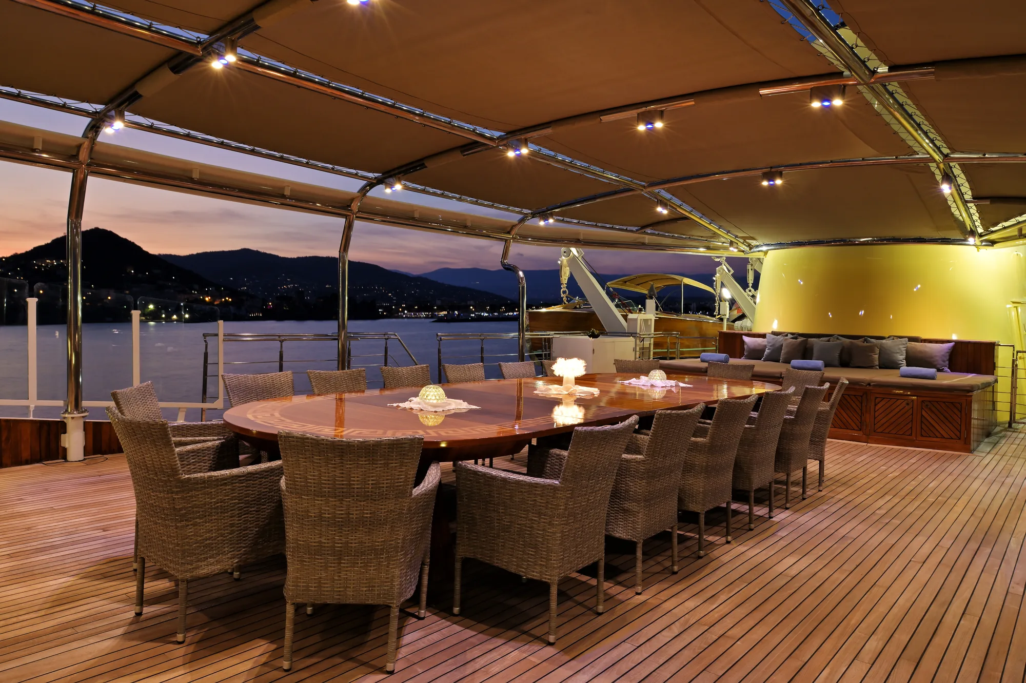
The Society Islands of French Polynesia represent one of the world's most dramatic blue-water cruising grounds. Scattered across the South Pacific between latitudes 16°S and 18°S, this archipelago is divided into two distinct groups: the Windward Islands (Îles du Vent), dominated by Tahiti and Moorea, and the Leeward Islands (Îles sous le Vent), comprising Huahine, Raiatea, Taha'a, Bora Bora, and Maupiti. For the yacht captain and charterer, cruising these waters requires a clear understanding of two contrasting marine environments: the open-ocean passages of the South Pacific, where long-period swells roll unimpeded across thousands of miles, and the tranquil, emerald lagoons sheltered behind formidable barrier reefs. Executing a successful Yacht Charter Tahiti yacht charter depends on managing this dual dynamic, matching passage planning to local wind regimes, slack-water tides, and lagoon draft restrictions.
The Coastline and Sea Areas: Windward and Leeward Dynamics
The primary cruising area spans roughly 150 nautical miles from Tahiti Nui in the east to Maupiti in the west. Topographically, these islands are the summits of extinct volcanic peaks rising abruptly from oceanic depths exceeding 3,000 metres. Each island is enveloped by a protective barrier reef, creating enclosed coastal lagoons that range from narrow coastal ribbons to vast inland seas.
The Windward Islands—Tahiti and Moorea—are characterised by high, jagged volcanic spines, deep fjord-like bays, and narrow lagoon channels. Tahiti Nui and its smaller peninsula, Tahiti Iti, present steep, rain-forested coastlines with limited lagunar navigation. The primary anchorages here lie within protected reef channels near Papeete and the sheltered waters of Tautira and Phaeton Bay in the south. Moorea, situated 12 nautical miles west of Tahiti across the Sea of Moon (PahiAtea), features two spectacular northern inlets: Cook’s Bay (Paopao) and Opunohu Bay. Both are ancient volcanic calderas carving deep into the island's interior, offering abyssal anchorages surrounded by vertical green spires.
Moving northwest across the open ocean brings you to the Leeward Islands, the undisputed epicenter of luxury yachting in French Polynesia. Huahine is the most easterly of the Leewards, split into Huahine Nui and Huahine Iti by a narrow, shallow canal. It retains an untamed, rural character with deep, well-sheltered bays on its western lee.
Further west lie Raiatea and Taha'a, two distinct islands enclosed within a single, massive barrier reef system spanning over 100 square nautical miles. This shared lagoon is a cruiser's playground, allowing miles of smooth-water sailing between islands without ever entering the open ocean. Raiatea is the administrative hub of the Leewards, home to main marine infrastructure and the sacred archaeological complex of Taputapuatea. Taha'a, known as the Vanilla Island, offers deeply indented bays on all sides and a perimeter dotted with pristine sand islets (motus).
Bora Bora, lying 22 nautical miles west-northwest of Taha'a, is a central volcanic remnant encircled by a broad ring of turquoise lagoon and outer barrier motus. Navigation here is defined by a single navigable ocean pass on the western side, leading into a sprawling lagoon system with varying depth profiles. Maupiti, the westernmost inhabited island of the chain, features a lagoon so shallow and a pass so notoriously violent that entry is restricted to light-draft vessels in mild sea states.
Seasonal Meteorology, Trade Winds, and Sea States
French Polynesia experiences a tropical marine climate dictated by the South Pacific High-Pressure system. The year is split into two primary seasons: the dry season (Aura Rahi) and the warm, humid season (Matarii i Ni'a).
### The Dry Season (May to October) This is the prevailing trade-wind season and the peak charter window. The climate is dominated by the Mara'amu—a firm, consistent south-easterly trade wind blowing between 15 and 25 knots.
- May to June: The trade winds establish themselves. Days are clear with moderate breezes averaging 15 knots from the east-southeast. Ocean swells range from 1.5 to 2.5 metres.
- July to August: The Mara'amu reaches its peak strength, frequently gusting to 30 knots or more for three to four days continuously when high-pressure systems pass south of the islands. Ocean swells outside the barrier reefs can reach 3.5 to 4 metres, driven by Antarctic weather systems. Lagoon waters remain flat, though anchorage selection must account for wind exposure.
- September to October: The winds ease to a pleasant 12 to 18 knots, shifting slightly towards the east. Ocean swells settle to 1.5 to 2 metres, providing optimal conditions for inter-island passages.
### The Warm Season (November to April) This period brings warmer temperatures, higher humidity, and increased rainfall. The dominant trade winds weaken and become variable, often shifting to the north and north-west (Toerau).
- November to December: Light, variable winds averaging 8 to 12 knots. Sea states outside the lagoons are exceptionally calm, making inter-island passages remarkably smooth. However, localized convective squalls can bring sudden wind shifts and heavy downpours.
- January to March: The wettest period of the year. Winds are light unless influenced by tropical depressions passing to the south or west. Unprotected ocean swells are low, but cloud cover can limit visual navigation inside the lagoons.
- April: A transition month characterised by dropping rainfall, clearing skies, and light easterly breezes settling into the low teens.
Pass Navigation and Hydrographic Hazards
Navigating the Society Islands requires precise seamanship, particularly when transitioning between the open Pacific Ocean and the inner lagoons through barrier reef passes (passes).
   [ Open Pacific Ocean ]  ---> (Outer Ocean Swell 2-4m)
             ||
       [ Barrier Reef ]    <--- Water forced over reef top (Houri)
             ||
      ==================
        REEF PASSAGE       <--- Outflowing Current (Up to 6-8 knots)
      ==================        Standing waves / Breaking seas on ebb
             ||
    [ Deep Inner Lagoon ]  ---> Smooth Water / Coral Heads (Bommies)
The primary navigational hazard in French Polynesia is the intense outward current generated in lagoon passes. When heavy ocean swells break over the outer barrier reef, massive volumes of seawater are pumped continuously into the inner lagoon. This water has only one escape route: back out through the deep, narrow cuts in the reef. As a result, passes almost always exhibit an outgoing, seaward current that can reach speeds of 4 to 8 knots during high swell events.
When a strong outgoing current meets a opposing ocean wind or swell, severe standing waves and breaking seas form directly in the mouth of the pass. Entering or exiting under these conditions requires high horsepower, precise steering, and accurate timing around slack water.
Key pass profiles include:
- Passe Teavanui (Bora Bora): The only navigable pass into Bora Bora. It is deep (over 25 metres) and wide, making it accessible to large motor yachts in almost all sea states, though outgoing currents still run up to 4 knots.
- Passe Avapehi (Raiatea): Deep and clear, well-marked with lateral buoys. It handles significant water volume and can generate standing waves on a strong south-easterly breeze.
- Passe Paipai (Taha'a): Situated on the north-western coast, offering a clean, deep entry into Taha'a's western lagoon, well-sheltered from the Mara'amu.
- Passe Fitii (Huahine): A narrow, dog-legged pass requiring careful alignment with lead markers (alignements) to avoid the outer reef edges.
- Passe Vaiare (Moorea): Deep and heavily trafficked by commercial ferries; straightforward entry but requires vigilance for fast-moving vessel traffic.
Inside the lagoons, the principal danger is isolated coral heads, known locally as bommies (paties). These steep structures rise vertically from depths of 20 metres to within a few inches of the surface. While principal channels are marked with IALA Region B lateral buoys, vast areas of the lagoons remain unbuoyed. Visual navigation is mandatory: a crew member must be posted at the bow or flybridge with the sun high and behind the vessel to read water colour. Deep water appears dark blue, mid-depth lagoon channels show as bright turquoise, and shallow coral heads show as pale yellow-green or grey.
Draft considerations are critical. Deep-draft motor yachts (drawing over 2.5 metres) are restricted to main marked channels and deep-water anchorages. Shallow-draft sailing catamarans and modern power catamarans (drawing 1.2 to 1.5 metres) possess a distinct advantage in French Polynesia, allowing access to shallow inner-reef anchorages and sandbars directly off the motus.
Key Natural Anchorages and Shelter Profiles
### Moorea: Opunohu Bay and Cook’s Bay Opunohu Bay, located on Moorea's north coast, offers one of the most secure deep-water anchorages in the South Pacific. Enclosed by vertical mountain walls, the bay drops to depths of 30 to 40 metres over a soft mud bottom with excellent holding power. It provides absolute protection from all wind directions except strong northerlies (Toerau). The adjacent Cook's Bay is equally dramatic, though more susceptible to strong katabatic wind gusts rolling down from Mount Rotui.
### Huahine: Port Bourayne and Avea Bay Port Bourayne is a landlocked lagoon basin tucked between Huahine Nui and Huahine Iti. Accessible via the deep Baie de Maroe, it is completely ringed by high hills, offering 360-degree protection from all sea states and winds—an ideal hurricane hole during the tropical season. In the far south of Huahine Iti lies Avea Bay, a stunning crescent of white sand protected by a broad outer reef. It offers superb holding in sand at depths of 5 to 10 metres, with shelter from easterly and south-easterly trade winds.
### Raiatea: Faaroa Bay Located on Raiatea’s eastern coast, Faaroa Bay is a deep, fjord-like indentation cutting miles inland. Surrounded by steep, lush cliffs, it provides bulletproof shelter from south-easterly, southerly, and westerly winds. The head of the bay is fed by the only navigable river in French Polynesia, where tender excursions can be made into dense tropical foliage. Holding is secure in thick mud at 15 to 25 metres.
### Taha'a: Haamene Bay and Motu Tautau Haamene Bay is the largest inlet on Taha'a, carving deep into the east coast. It is surrounded by high ridges on three sides, providing exceptional protection from all winds except a direct easterly. Anchoring in 18 to 22 metres of mud yields excellent security. On the western outer edge of Taha'a lies Motu Tautau. The anchorage here sits in 3 to 6 metres of clear sand inside the barrier reef, directly across from the famous Coral Garden. While exposed to easterly breezes across the island, it is completely flat-water anchorage with protection from ocean swells.
### Bora Bora: Povai Bay and Motu To'opua Povai Bay, situated on the south-west side of Bora Bora’s main volcanic peak, provides deep-water anchorage (25 to 30 metres) over mud and sand, sheltered from prevailing south-easterlies by the central peaks of Mount Otemanu and Mount Pahia. Further west, in the lee of Motu To'opua, yachts can anchor in 5 to 10 metres of clear turquoise sand. This area is protected from easterly winds and ocean swells, offering an ideal staging location close to Passe Teavanui.
Passage Metrics and Day-Hop Distances
Planning an itinerary through the Society Islands involves balancing short lagoon transits with overnight open-ocean passages.
- Papeete, Tahiti to Vaiare Bay, Moorea: 15 nautical miles. Course: 260°. Open-ocean crossing of the Sea of Moon. Expect moderate south-easterly beam seas. Transit time: 1.5 to 2 hours.
- Opunohu Bay, Moorea to Fare, Huahine: 82 nautical miles. Course: 295°. Open Pacific passage. Typically run as an overnight passage or a fast early-morning power run. Beam to quartering sea under south-easterly trade winds. Transit time: 6 to 9 hours depending on vessel speed.
- Fare Harbour, Huahine to Uturoa, Raiatea: 21 nautical miles. Course: 255°. Short ocean passage across the Raiatea-Huahine channel. Quartering seas. Transit time: 1.5 to 2.5 hours.
- Uturoa (Raiatea) to Haamene Bay (Taha'a): 9 nautical miles. Entirely within the shared, protected lagoon. Zero sea state. Transit time: 45 minutes to 1 hour.
- Passe Paipai (Taha'a) to Passe Teavanui (Bora Bora): 22 nautical miles. Course: 280°. Open-water inter-island hop. Following sea under trade wind conditions. Transit time: 2 to 3 hours.
- Passe Teavanui (Bora Bora) to Maupiti: 26 nautical miles. Course: 260°. Ocean transit. Entry to Maupiti requires calm ocean conditions and local slack water.
How a Captain Plans a Seven-Day Itinerary
Executing a seamless yacht charter in French Polynesia requires tactical flexibility. Captains almost universally recommend a one-way Leeward Islands route—typically embarking in Raiatea and disembarking in Bora Bora—to maximize time spent exploring sheltered lagoons and minimize heavy open-ocean beating into prevailing winds.
### Day 1: Embarkation in Raiatea & Lagoon Transit to Taha'a Guests land at Raiatea Airport (Uturoa), located directly adjacent to the main deep-water docks. After a briefing, the yacht lifts anchor and undertakes a smooth 8-nautical-mile lagoon run north to Taha'a. The vessel drops anchor in Haamene Bay or off Motu Ceran in 5 metres of sand. Afternoon activities focus on swimming and acclimatisation, followed by fresh local provisions onboard—featuring local bigeye tuna (thong blanc) served as poisson cru au lait de coco (raw fish marinated in lime juice and fresh coconut milk).
### Day 2: Taha'a Exploration & Vanilla Farms The yacht spends the day moving along Taha'a's sheltered western lagoon. In the morning, the captain positions the vessel near the Baie de Tapuamu. Guests go ashore via tender to visit a family-run vanilla plantation to observe the manual pollination of Vanilla tahitensis. In the afternoon, the yacht relocates 4 nautical miles north to Motu Tautau. Guests snorkel the shallow Coral Garden stream channel between two motus, drifting effortlessly with the inward tide across vibrant hard corals.
       [ Outer Barrier Reef ]
   ~~~~~~~~~~~~~~~~~~~~~~~~~~~~~~~
      Motu Tautau    Motu Maharana
           \          /
            \        /
         [ CORAL GARDEN ]  <--- Snorkelers drift with incoming tide
            /        \
           /          \
   -------------------------------
    Yacht Anchorage (3-6m Sand)
### Day 3: Taha'a to Huahine (25 NM Ocean Passage) To beat the trade-wind swell, the captain executes an early morning departure through Passe Paipai on Taha'a's western flank, rounding the northern tip of the island before heading east-southeast toward Huahine. While this is an upwind transit, departing at dawn ensures light wind conditions. Arriving at Huahine by midday, the yacht enters Passe Fitii and anchors off the town of Fare. Guests explore the village, visit ancient stone marae (sacred temples) along Lake Maeva, and sample local craft beers at a beachside microbrewery.
### Day 4: Huahine Lagoon & Port Bourayne The yacht navigates the inner lagoon channel south toward Huahine Iti. The draft of the vessel dictates whether to use the internal passage or slip outside the reef into the ocean and re-enter via Passe Farerea. The vessel drops anchor in the completely enclosed waters of Port Bourayne for water sports, paddleboarding, and kayaking through the mangrove channels. In the afternoon, the yacht moves 3 nautical miles south to Avea Bay for a quiet sunset anchorage over immaculate white sand.
### Day 5: Huahine to Raiatea (21 NM Downwind Hop) A morning departure from Avea Bay takes the yacht out through Passe Araara on Huahine's southern tip. The 21-nautical-mile passage across to Raiatea is a comfortable beam reach in trade-wind conditions. The captain enters Raiatea’s lagoon via Passe Iriru on the east coast, bringing the yacht to anchor off Taputapuatea. This UNESCO World Heritage site was the historic epicenter of Polynesian navigation, from which ancient voyagers set out in double-hulled canoes to populate Hawaii, New Zealand, and Easter Island.
### Day 6: Raiatea to Bora Bora (22 NM) After an early breakfast, the yacht departs Raiatea through Passe Avapehi, setting a course of 280° toward Bora Bora. With the south-easterly Mara'amu blowing on the port quarter, this ocean transit is fast and comfortable. By mid-morning, the iconic silhouette of Mount Otemanu dominates the horizon. The captain navigates Passe Teavanui, entering Bora Bora’s turquoise lagoon. The yacht anchors off Motu To'opua in 6 metres of luminous blue water. Afternoon activities include guided diving or ray and blacktip reef shark encounters in the shallow lagoon basins.
### Day 7: Bora Bora's Eastern Lagoon & Disembarkation The final day is dedicated to navigating the shallow southern and eastern perimeter of Bora Bora's lagoon. Shallow-draft vessels can process along the eastern motus near Motu Onao, where the water colour transitions from deep cyan to pale sapphire. The yacht sets anchor off a private motu for a traditional ma'a Tahiti feast prepared over an underground stone oven (ahima'a). On the final morning, the yacht executes a short 3-nautical-mile lagoon transit back to the deep-water tender drop-off point near Motu Mute Airport, where guests board their transfer flight back to Papeete.
Marine Infrastructure and Provisioning Realities
Understanding the operational environment is critical for seamless cruising in French Polynesia. Provisioning and infrastructure vary sharply between islands.
- Papeete (Tahiti): The commercial heart of French Polynesia. Marina Taina and the Port of Papeete offer deep-water berths, high-flow duty-free fuel bunkering, fresh water, and complete provisioning services. Produce, fine wines, and imported European delicacies are supplied directly from air-freight arrivals at Faa'a International Airport.
- Uturoa (Raiatea): The secondary service hub. Features municipal concrete quays, fuel stations accessible by yacht, and several large supermarkets stocked with fresh goods delivered by weekly supply ships from Papeete. Specialized marine technicians and repair facilities are concentrated here.
- Bora Bora: Infrastructure is geared heavily toward resort transfers and luxury tenders rather than heavy marine servicing. Fuel is available at the main quay in Vaitape, but berth availability for large yachts is limited. High-end provisioning can be arranged through local agents who tap into resort supply chains.
By respecting the seasonal meteorological cycles, understanding pass dynamics, and selecting anchorages tailored to local topography, captains and charter guests can experience the Society Islands at their absolute finest—a pristine, high-seas paradise anchored in deep Polynesian tradition.