
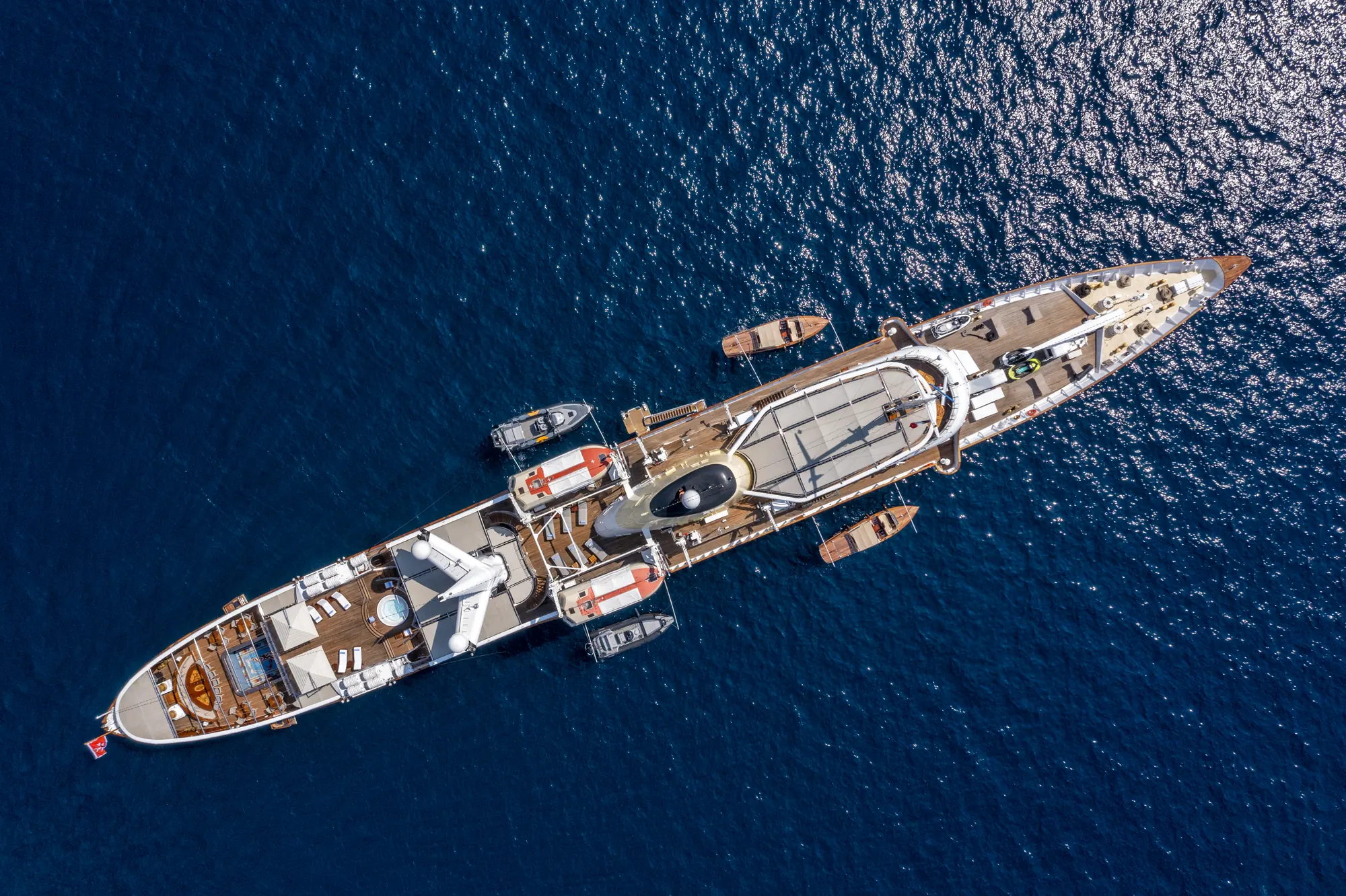
The Principality of Monaco sits at the dramatic intersection where the Maritime Alps plunge directly into the Ligurian Sea. This sheer topography creates a distinctive cruising environment defined by deep bathymetry, abrupt coastal drop-offs, and microclimates shaped by the towering mountain backdrop. For a captain, navigating the waters of Monaco and its surrounding coastline requires a nuanced understanding of localised wind systems, strict environmental regulations, and traffic management in one of the most densely populated sea lanes in the Western Mediterranean.
Whether departing Port Hercule on a 60-metre motor yacht or embarking on a high-performance sailing yacht, understanding the practical mechanics of this coastline ensures a seamless voyage. This definitive cruising guide breaks down the physical coast, meteorology by month, key anchorages, nautical distances, and the operational logic applied by professional masters when planning a itinerary in these waters.
Coastal Geography and Regional Sea Areas
The coastline surrounding Monaco is geographically defined by steep limestone headlands and deep marine canyons. Unlike the shallow, sandy shores of the Languedoc or the sheltered archipelagos of Hyères, the Riviera between the Italian border and Nice features precipitous bathymetric gradients. Just two nautical miles off Monte Carlo, the seabed drops into the Monaco Canyon, reaching depths in excess of 800 metres. This immediate depth means ocean swells do not dissipate gradually; instead, they carry their energy right up to the coastal shelf, reflecting off sea walls and dramatic cliff faces.
Port Hercule forms the primary maritime hub of the Principality. Protected by a massive 352-metre floating concrete breakwater (la digue semi-flottante), the port accommodates the world's largest superyachts. The harbour basin is deep, naturally sheltered from western weather by the Rock of Monaco (Le Rocher), though strong easterly gales can send a heavy surge through the outer entrance. Just south-west around the headland lies Port de Fontvieille, constructed in the lee of Le Rocher, offering a more compact basin suitable for yachts up to 30 metres, though subject to strict draft limitations at its inner berths.
To the east of Monaco, the coast trends north-east toward Cap Martin, a lush, pine-covered promontory that acts as the physical barrier between Monte Carlo and the wide bay of Menton. To the west, the coastline is dominated by the sheer cliffs of Cap d'Ail, leading toward the deep indents of the Cap Ferrat peninsula and the natural amphitheatre of the Rade de Villefranche-sur-Mer. This entire coastal stretch operates under the jurisdiction of the French Maritime Prefecture (Zone Maritime Méditerranée), requiring strict adherence to speed limits, anchoring zones, and radio communication protocols.
Seasonal Meteorology, Prevailing Winds, and Sea States
Cruising conditions off Monaco are dictated by the interplay between Mediterranean macro-weather patterns and local alpine thermal effects. Understanding how these forces shift month by month is essential for comfortable passage planning.
### May and June Spring marks the transition from winter depressions to summer stability. The prevailing wind during these months alternates between moderate south-westerly flows and late-season Mistral extensions. While the primary Mistral channel down the Rhône Valley hits its peak intensity around Marseille and Toulon, strong north-westerly winds often blow out across the Golfe du Lion and wrap around Cap Ferrat as a stiff south-westerly breeze, generating a confused, rolling swell along the Monaco coastline.
Sea temperatures range from 18°C in May to 22°C by late June. Thermal daytime sea breezes (la brise de mer) begin to establish by mid-June, typically building from the south-east around 11:00, peaking at 12 to 16 knots by 15:00, and collapsing rapidly as the sun drops behind the mountain ridge.
### July and August Peak summer delivers high atmospheric stability, high temperatures, and warm waters averaging 25°C to 27°C. The dominant wind regime is driven almost entirely by diurnal thermals. Mornings are generally glass-calm, offering ideal conditions for short coastal passages or watersports. By early afternoon, the land heats up, drawing an easterly to south-easterly thermal breeze of 10 to 15 knots across the Ligurian Sea.
The primary challenge during July and August is not wind, but vessel-generated wave action. High maritime traffic produces a persistent, short-period chop (la houle de trafic) in open sea areas off Monaco and Cap d'Ail. Captains often seek shelter in deep bays by noon to ensure guest comfort. Occasional south-westerly Libeccio winds, originating off Corsica, can bring a long, rolling swell without local wind, making exposed anchorages uncomfortable overnight.
### September and October Late season brings exceptionally clear water, reduced commercial traffic, and sea temperatures remaining around 23°C through September. However, meteorology becomes more volatile. The cooling of the alpine landmass against the still-warm Mediterranean sea triggers convective activity. Late afternoon thunderstorms (orages) rolling off the Mercantour National Park can drop suddenly onto the coast, producing violent wind squalls (coups de vent) reaching 35 knots or more from the north-west.
Catabatic winds—dense, cold air dropping down the mountain valleys at night—become more pronounced, requiring secure anchor holdings and vigilant anchor watches in northern-exposed bays.
Key Natural Anchorages and Shelter Analysis
Finding secure holding ground along this steep coastline requires precise positioning. The transition from 10 metres to 50 metres depth can occur within half a cable’s length of the shore. Below are the primary natural anchorages accessible from Monaco, categorized by their protective qualities.
### Anse de Mala (Cap d'Ail) Positioned less than three nautical miles west of Port Hercule, Anse de Mala sits beneath towering limestone cliffs. Protection:* Exceptional shelter from north, north-west, and north-east winds. The soaring rock faces completely block alpine catabatic breezes. Exposure:* Fully exposed to southern, south-easterly, and south-westerly swells. A moderate southerly swell makes this anchorage unviable due to wave reflection off the vertical rock face. Holding & Depths:* The seabed consists of coarse sand and gravel pockets between rock shelves. Anchor in 8 to 14 metres. Strict regulations prohibit anchoring in marked seagrass beds.
### Rade de Villefranche-sur-Mer Located eight nautical miles west of Monaco, Villefranche is one of the deepest natural harbours in the Western Mediterranean, dropping to over 100 metres at its mouth. Protection:* Offers near-total protection from west, north-west, north, and east winds. It is widely considered the safest natural hurricane hole on the Côte d'Azur for large yachts. Exposure:* Vulnerable only to strong southerly gales (South/South-East), which drive a heavy swell directly up the axis of the bay. Holding & Depths:* Excellent holding ground in heavy mud and fine sand in the northern head of the bay at depths of 10 to 20 metres. Vessels must respect designated mooring fields and ecological protection zones.
### Cap Ferrat Peninsula (Saint-Hospice & Passable) The T-shaped peninsula of Cap Ferrat provides a dual-anchorage strategy depending on prevailing wind directions. Baie de Saint-Hospice (East side):* Provides superior protection from western and north-western winds (Mistral). The seabed is sandy with excellent holding in 6 to 12 metres. Exposed to easterly breezes. Anse de Passable (West side):* Provides shelter from easterly and south-easterly thermals. Anchor in sand pockets in 8 to 15 metres. Exposed to any westerly weather or traffic swell from the Baie des Anges.
### Golfe Bleu and Baie de Roquebrune Positioned two nautical miles east of Monaco below the medieval village of Roquebrune. Protection:* Sheltered from northerly and easterly winds by the mass of Cap Martin. Exposure:* Unprotected from south and south-west flows. Holding & Depths:* Broad sandy shelf providing good holding in 7 to 12 metres. Ideal for daytime lunchtime stops when weather is settled.
Essential Day-Hop Distances and Passage Times
Efficient route planning relies on accurate distance calculations. The coast allows for brief, tactical hops between major points of interest. The distances below are calculated in nautical miles from Port Hercule, Monaco, assuming a standard cruising speed of 12 knots for motor yachts and 8 knots for sailing yachts or displacement vessels.
- Monaco to Cap d'Ail (Anse de Mala): 2.5 NM | 12 mins at 12 knots | 18 mins at 8 knots
- Monaco to Cap Ferrat (Saint-Hospice): 6.5 NM | 32 mins at 12 knots | 48 mins at 8 knots
- Monaco to Rade de Villefranche: 8.5 NM | 42 mins at 12 knots | 1 hr 04 mins at 8 knots
- Monaco to Nice (Port Lympia): 10.5 NM | 52 mins at 12 knots | 1 hr 18 mins at 8 knots
- Monaco to Antibes (Cap d'Antibes): 18.5 NM | 1 hr 32 mins at 12 knots | 2 hrs 18 mins at 8 knots
- Monaco to Îles de Lérins (Cannes): 26.0 NM | 2 hrs 10 mins at 12 knots | 3 hrs 15 mins at 8 knots
- Monaco to Saint-Tropez (Baie de Canebiers): 48.0 NM | 4 hrs 00 mins at 12 knots | 6 hrs 00 mins at 8 knots
- Monaco to Ventimiglia (Cala del Forte, Italy): 8.0 NM | 40 mins at 12 knots | 1 hr 00 mins at 8 knots
- Monaco to Sanremo (Portosole, Italy): 17.5 NM | 1 hr 27 mins at 12 knots | 2 hrs 11 mins at 8 knots
Executing a bespoke Yacht Charter Monaco yacht charter itinerary often involves short morning passages of under an hour, allowing guests maximum time at anchor or ashore, punctuated by longer scenic runs along the red cliffs of the Massif de l'Esterel further west.
Navigational Hazards, Environmental Regulations, and Maritime Rules
Navigating the waters surrounding Monaco requires strict compliance with international maritime law and highly enforced regional environmental decrees.
       [Menton / Italian Border]
                  |
            (Cap Martin)
                  |
           [ Port Hercule ]  <--- Monaco Canyon (800m+ depth)
                  |
            (Cap d'Ail / Anse de Mala)
                  |
         (Cap Ferrat / Villefranche)
                  |
           [ Baie des Anges ]
### Posidonia Oceanica Environmental Protection Laws The Maritime Prefecture of the Mediterranean enforces stringent legislation regarding the protection of Posidonia oceanica (protected seagrass). Under Prefecture Decrees (notably Decree 123/2019 and subsequent updates), anchoring in Posidonia beds is strictly illegal along the French coast, with heavy fines and potential captain license suspensions for violations.
Vessels over 24 metres in length are subject to mandatory monitoring via AIS. Captains must use specialized cartography applications such as DONIA to identify clear sand patches (taches de sable) before dropping anchor. Alternatively, yachts must utilize designated ecological mooring buoys (ZIEM) established in areas such as Golfe-Juan or Villefranche.
### The 300-Metre Coastal Zone and Speed Limits Along the entire French and Monégasque coastline, a strict 5-knot speed limit applies within the 300-metre coastal band measured from the low-water mark or offshore rocks. Tender drivers, jet-ski riders, and primary vessels must operate at dead slow within this perimeter.
Furthermore, personal watercraft (PWC / jet skis) are subject to rigid operational windows and spatial restrictions. In Monégasque waters, jet skis may only be operated outside the main harbour approaches and beyond designated bathers' zones, under the direct supervision of a licensed crew member or qualified instructor.
### Traffic Management and Radio Operations Port Hercule operates a highly organized Vessel Traffic Service (VTS). VHF Channel 12:* Mandatory monitoring for all vessels within 3 nautical miles of Monaco harbour entrances. Permission Required: No vessel may enter or exit Port Hercule or Port de Fontvieille without explicit clearance from Monaco Port Control (Pilotage Monaco*). Priorities:* Commercial passenger ferries, cruise liners, and vessels under pilotage maintain absolute right-of-way over pleasure craft. Traffic Density: During major events—such as the Formula 1 Monaco Grand Prix in May or the Monaco Yacht Show in September—the outer roadstead becomes an intense anchorage zone requiring pre-allocated anchoring permits (permis d'mouillage*).
Operational Execution of a Seven-Day Itinerary
A master planning a week-long cruise originating in Monaco must balance guest desires for high-end onshore dining and nightlife with the physical realities of sea states and wind changes. The following operational blueprint illustrates how a captain structures a seamless seven-day regional voyage.
### Day 1: Embarkation in Monaco and Local Shake-Down Guests board at Port Hercule in the afternoon. After safety briefings and customs clearance, the yacht drops lines for a brief 20-minute run westward to Anse de Mala. The vessel anchors in 10 metres of sand for an afternoon of watersports beneath the Cap d'Ail cliffs. As the thermal easterly breeze dies at sunset, the captain evaluates the overnight weather. If conditions remain dead calm, the yacht can remain at anchor; if a southerly swell is present, the yacht returns to Port Hercule or moves into the deeper protection of Villefranche.
### Day 2: Cap Ferrat and the Rade de Villefranche In the morning, the yacht weighs anchor and executes a 6-nautical-mile passage around Cap Ferrat. The captain selects Baie de Saint-Hospice for morning paddleboarding, anchored securely in clear sand off the eastern shore. At noon, as the south-easterly thermal builds to 14 knots, the captain shifts the yacht around the headland to Anse de Passable, putting the mass of Cap Ferrat between the vessel and the breeze. Guests go ashore via tender to visit the historic Villa Ephrussi de Rothschild. Overnight is spent securely on a deep-water heavy anchor holding in the mud of Villefranche.
### Day 3: Passage West to the Îles de Lérins To clear the urban scenery of Nice, the yacht departs Villefranche at 08:00, embarking on an 18-nautical-mile westward run. Cruising at 12 knots, the voyage to the Îles de Lérins off Cannes takes approximately one hour and thirty minutes. The yacht drops anchor in the shallow, turquoise sound between Île Sainte-Marguerite and Île Saint-Honorat (the Plateau du Milieu).
The captain carefully selects an anchorage spot clear of the Posidonia boundary, dropping in 5 metres of sand. Guests spend the day swimming and exploring the historic fortified monastery on Saint-Honorat. Given the shallow water and open exposure to south-westerly flows, the vessel moves into Port Canto or Port Vauban (Antibes) if overnight wind is forecasted.
### Day 4: Coastal Exploration of the Massif de l'Esterel The yacht cruises west toward the red volcanic rock faces of the Esterel coastline (Cap Roux). This sector offers dramatic contrast to the limestone topography of Monaco. The yacht anchors in the secluded cove of Anse d'Agay, sheltered from north and west winds. The tender is deployed to explore coastal caves and narrow rock inlets. In the late afternoon, the vessel turns east, running back to an overnight berth in Port Vauban, Antibes, allowing guests to explore the historic old town and ramparts.
### Day 5: Crossing to the Italian Riviera (Cala del Forte & Ventimiglia) Leaving Antibes early, the yacht executes a 26-nautical-mile passage direct to the Italian border, bypassing Monaco to clear international border protocols. The target is Cala del Forte in Ventimiglia—a state-of-the-art marina facility operated directly by Ports de Monaco.
The entry into Cala del Forte provides access to the Ligurian coast. Guests travel inland to local Italian markets or dine on regional Ligurian cuisine, such as fresh trofie with pesto and wild-caught sea bass cooked in sea salt. The marina offers exceptional protection from all quadrants, serving as a secure berth regardless of offshore sea conditions.
### Day 6: Cap Martin and Baie de Roquebrune Departing Ventimiglia, the yacht makes a slow 6-nautical-mile coastal crawl westward around Cap Martin. The captain anchors in the Golfe Bleu for lunch. The afternoon is spent enjoying high-speed watersports in the designated ski corridor outside the 300-metre zone. As evening approaches, the yacht requests entry clearance on VHF Channel 12 and returns to Port Hercule. Guests go ashore for evening entertainment in Monte Carlo, visiting the Casino Square or dining at multi-Michelin-starred establishments.
### Day 7: Final Morning Cruising and Disembarkation On the final morning, the yacht executes a short 3-nautical-mile breakfast cruise along the Monaco seafront, giving guests a view of the Principality's skyline from the water. The vessel returns to its berth at Port Hercule by 10:00 for final guest disembarkation and logistics management.
By integrating precise meteorological tracking, deep respect for environmental boundaries, and tactical anchorage selection, cruising Monaco and the surrounding Riviera delivers an exceptional balance of seamanship and luxury.